
Cycling in Blue Ridge
Discover a map of 13 cycling routes and bike trails near Blue Ridge, created by our community.
Region portrait
Get to know Blue Ridge
Find the right bike route for you through Blue Ridge, where we've got 13 cycle routes to explore.
602 km
Tracked distance
13
Cycle routes
1,290
Population
Community
Most active users in Blue Ridge


From our community
The best bike routes in and around Blue Ridge

3984–4016 Whitepath Rd, Ellijay to 4018–4092 Whitepath Rd, Ellijay
Cycling route in Blue Ridge, Georgia, United States of America
- 27 km
- Distance
- 517 m
- Ascent
- 520 m
- Descent

Day 5: Blue Ridge, GA. to Clayton, GA.
Cycling route in Blue Ridge, Georgia, United States of America
Bike Ride Day 43 (5). My fifth day on the ride after a day off the bike. We have a rest day in Blue Ridge, GA the day before on Day 4 of the ride. This is the largest climb at 5,183 feet on my leg of this journey.
- 104.5 km
- Distance
- 928 m
- Ascent
- 886 m
- Descent

BTB-Day3
Cycling route in Blue Ridge, Georgia, United States of America
118.6 km
- 106.7 km
- Distance
- 587 m
- Ascent
- 908 m
- Descent

4018–4092 Whitepath Rd, Ellijay to 1516 Peter Knob Rd, Blue Ridge
Cycling route in Blue Ridge, Georgia, United States of America
- 38.7 km
- Distance
- 849 m
- Ascent
- 687 m
- Descent
Discover more routes
 Loving Road, Morganton to Loving Road, Morganton
- Distance
- 5.1 km
- Ascent
- 0 m
- Descent
- 7 m
- Location
- Blue Ridge, Georgia, United States of America
 4018–4092 Whitepath Rd, Ellijay to 480 W First St, Blue Ridge
- Distance
- 16.1 km
- Ascent
- 352 m
- Descent
- 294 m
- Location
- Blue Ridge, Georgia, United States of America
 1301–1589 W Campbell Camp Rd, Blue Ridge to 1301–1589 W Campbell Camp Rd, Blue Ridge
- Distance
- 37.4 km
- Ascent
- 1,462 m
- Descent
- 1,467 m
- Location
- Blue Ridge, Georgia, United States of America
 990 E Main St, Blue Ridge to 483–541 W Main St, Blue Ridge 1
- Distance
- 19.1 km
- Ascent
- 920 m
- Descent
- 919 m
- Location
- Blue Ridge, Georgia, United States of America
 715–799 Campbell Camp Rd, Blue Ridge to Green Mountain, Blue Ridge
- Distance
- 4.5 km
- Ascent
- 186 m
- Descent
- 154 m
- Location
- Blue Ridge, Georgia, United States of America
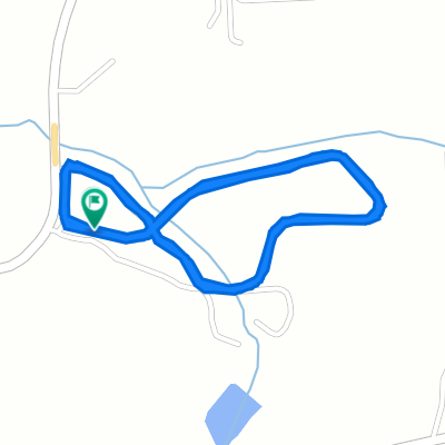
 Three Forks Loop
- Distance
- 32.2 km
- Ascent
- 566 m
- Descent
- 566 m
- Location
- Blue Ridge, Georgia, United States of America
 459–481 W First St, Blue Ridge to E First St, Blue Ridge
- Distance
- 2.5 km
- Ascent
- 28 m
- Descent
- 37 m
- Location
- Blue Ridge, Georgia, United States of America
 ToA19 - Brasstown Bald
- Distance
- 208.1 km
- Ascent
- 3,282 m
- Descent
- 2,338 m
- Location
- Blue Ridge, Georgia, United States of America