
Cycling in McCaysville
Discover a map of 8 cycling routes and bike trails near McCaysville, created by our community.
Region portrait
Get to know McCaysville
Find the right bike route for you through McCaysville, where we've got 8 cycle routes to explore.
7,099 km
Tracked distance
8
Cycle routes
1,056
Population
Community
Most active users in McCaysville


From our community
The best bike routes in and around McCaysville

N.C. Border to Atlantic-2013
Cycling route in McCaysville, Georgia, United States of America
Scenic bike route as per N.C. Dept of Transportation maps & Info.
- 1,247.3 km
- Distance
- 3,369 m
- Ascent
- 3,866 m
- Descent

Getting to know NC
Cycling route in McCaysville, Georgia, United States of America
- 3,678.3 km
- Distance
- 8,272 m
- Ascent
- 8,909 m
- Descent

Ocoee 1
Cycling route in McCaysville, Georgia, United States of America
- 31.7 km
- Distance
- 250 m
- Ascent
- 481 m
- Descent

Kimsey-Fingerboard
Cycling route in McCaysville, Georgia, United States of America
- 31.2 km
- Distance
- 626 m
- Ascent
- 826 m
- Descent
Discover more routes
 test
test- Distance
- 18.9 km
- Ascent
- 386 m
- Descent
- 371 m
- Location
- McCaysville, Georgia, United States of America
 20216–20262 US-64 W, Murphy to 8010 S Old Oregon Inlet Rd, Nags Head
- Distance
- 1,029.1 km
- Ascent
- 5,871 m
- Descent
- 6,492 m
- Location
- McCaysville, Georgia, United States of America
 wolf creek to buxton landing
- Distance
- 1,060.9 km
- Ascent
- 5,943 m
- Descent
- 6,502 m
- Location
- McCaysville, Georgia, United States of America
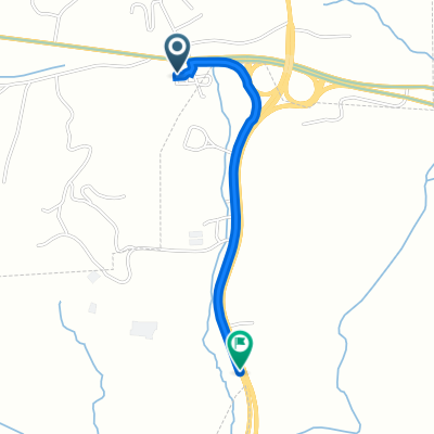 5082 US-64, Ducktown to 1401–1407 SR-68 S, Copperhill
- Distance
- 1.6 km
- Ascent
- 3 m
- Descent
- 33 m
- Location
- McCaysville, Georgia, United States of America