
Cycling in Boston Heights
Discover a map of 66 cycling routes and bike trails near Boston Heights, created by our community.
Region portrait
Get to know Boston Heights
Find the right bike route for you through Boston Heights, where we've got 66 cycle routes to explore. Most people get on their bikes to ride here in the months of August and September.
976 km
Tracked distance
66
Cycle routes
1,300
Population
Community
Most active users in Boston Heights


From our community
The best bike routes in and around Boston Heights

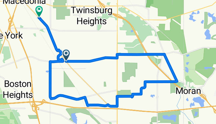
Easy ride in Boston Heights
Cycling route in Boston Heights, Ohio, United States
- 38.9 km
- Distance
- 314 m
- Ascent
- 316 m
- Descent

Sunday Mini-Sufferfest
Cycling route in Boston Heights, Ohio, United States
- 31.5 km
- Distance
- 275 m
- Ascent
- 275 m
- Descent

Around twinsburg
Cycling route in Boston Heights, Ohio, United States
- 24.4 km
- Distance
- 146 m
- Ascent
- 154 m
- Descent
Discover more routes
 Bike and Hike Trail, Boston Heights to 163 Franklin Ave, Kent
- Distance
- 23.9 km
- Ascent
- 236 m
- Descent
- 175 m
- Location
- Boston Heights, Ohio, United States
 Ride
Ride- Distance
- 38.9 km
- Ascent
- 470 m
- Descent
- 464 m
- Location
- Boston Heights, Ohio, United States
 Towpath Trail, Northfield to 1621 Main St, Peninsula
- Distance
- 22.8 km
- Ascent
- 123 m
- Descent
- 110 m
- Location
- Boston Heights, Ohio, United States
 greenway Trail
- Distance
- 11 km
- Ascent
- 46 m
- Descent
- 26 m
- Location
- Boston Heights, Ohio, United States
 16 W Streetsboro Rd, Boston Heights to Boston Heights
- Distance
- 1.3 km
- Ascent
- 35 m
- Descent
- 38 m
- Location
- Boston Heights, Ohio, United States
 Towpath Trail, Northfield to Ohio To Erie Trail, Xenia
- Distance
- 327.4 km
- Ascent
- 1,799 m
- Descent
- 1,707 m
- Location
- Boston Heights, Ohio, United States
 1161–1187 W Highland Rd, Northfield to 1161–1187 W Highland Rd, Northfield
- Distance
- 1.4 km
- Ascent
- 50 m
- Descent
- 49 m
- Location
- Boston Heights, Ohio, United States
 Recovered Route
- Distance
- 0.3 km
- Ascent
- 0 m
- Descent
- 0 m
- Location
- Boston Heights, Ohio, United States