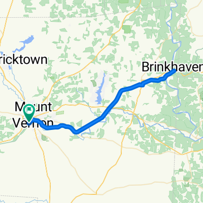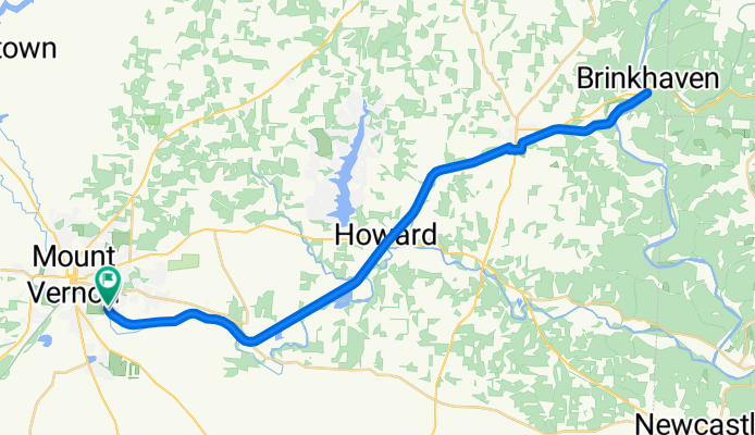


400 Harcourt Rd, Mount Vernon to 941 Coshocton Ave, Mount Vernon
- 29.1 km
- 378 m
- 363 m
- Mount Vernon, Ohio, United States

Find the right bike route for you through Mount Vernon, where we've got 28 cycle routes to explore.
Tracked distance
Cycle routes
Population
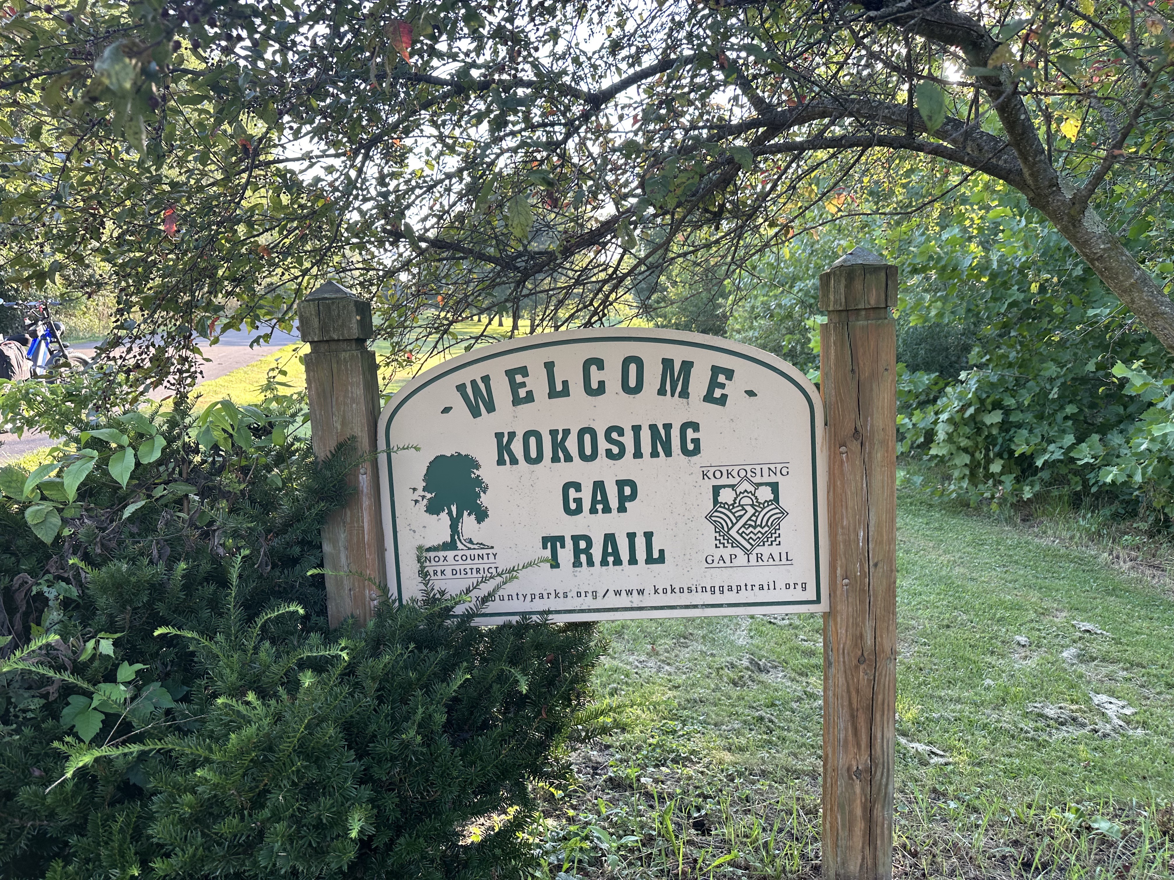
Cycling route in Mount Vernon, Ohio, United States
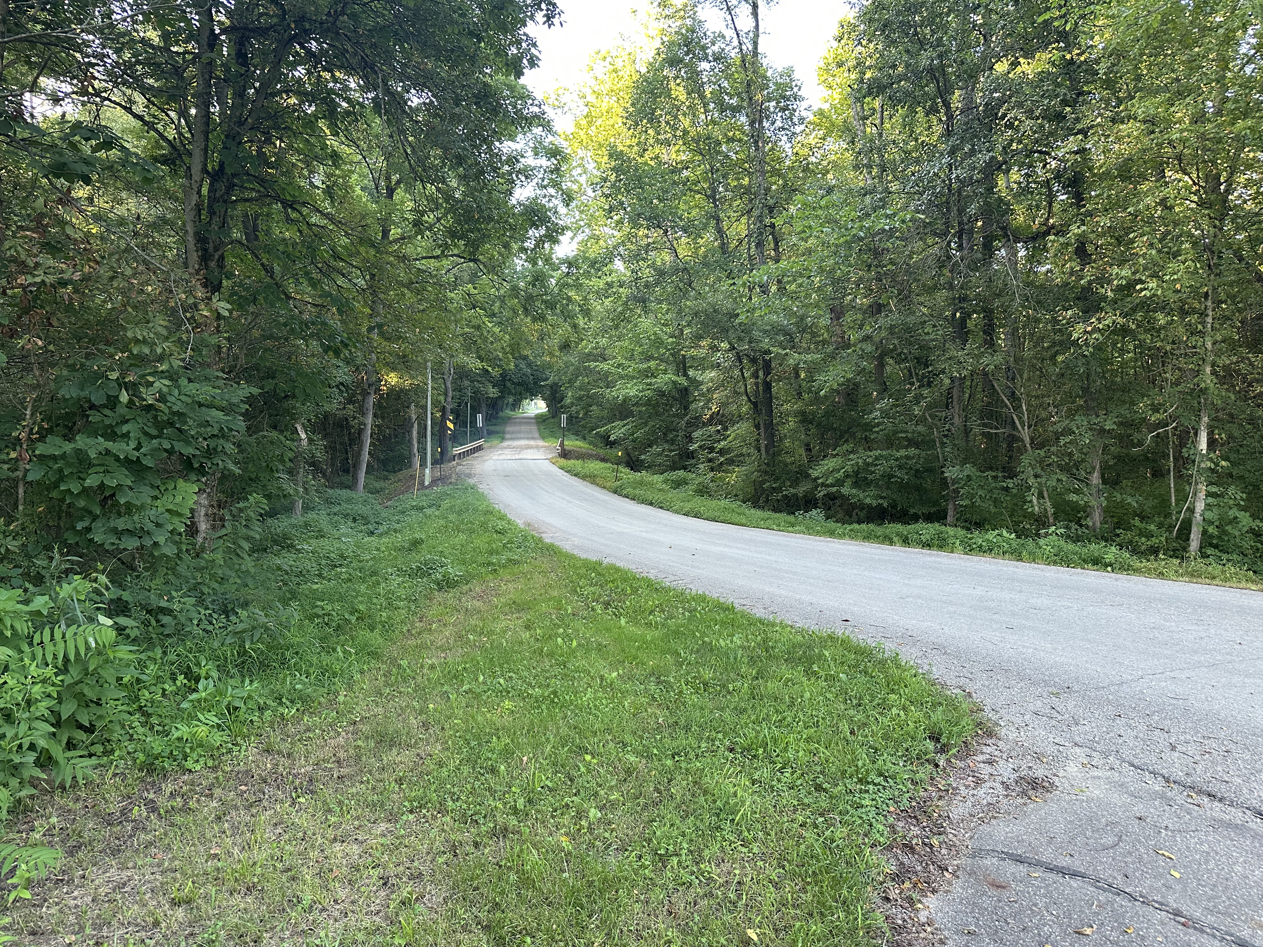
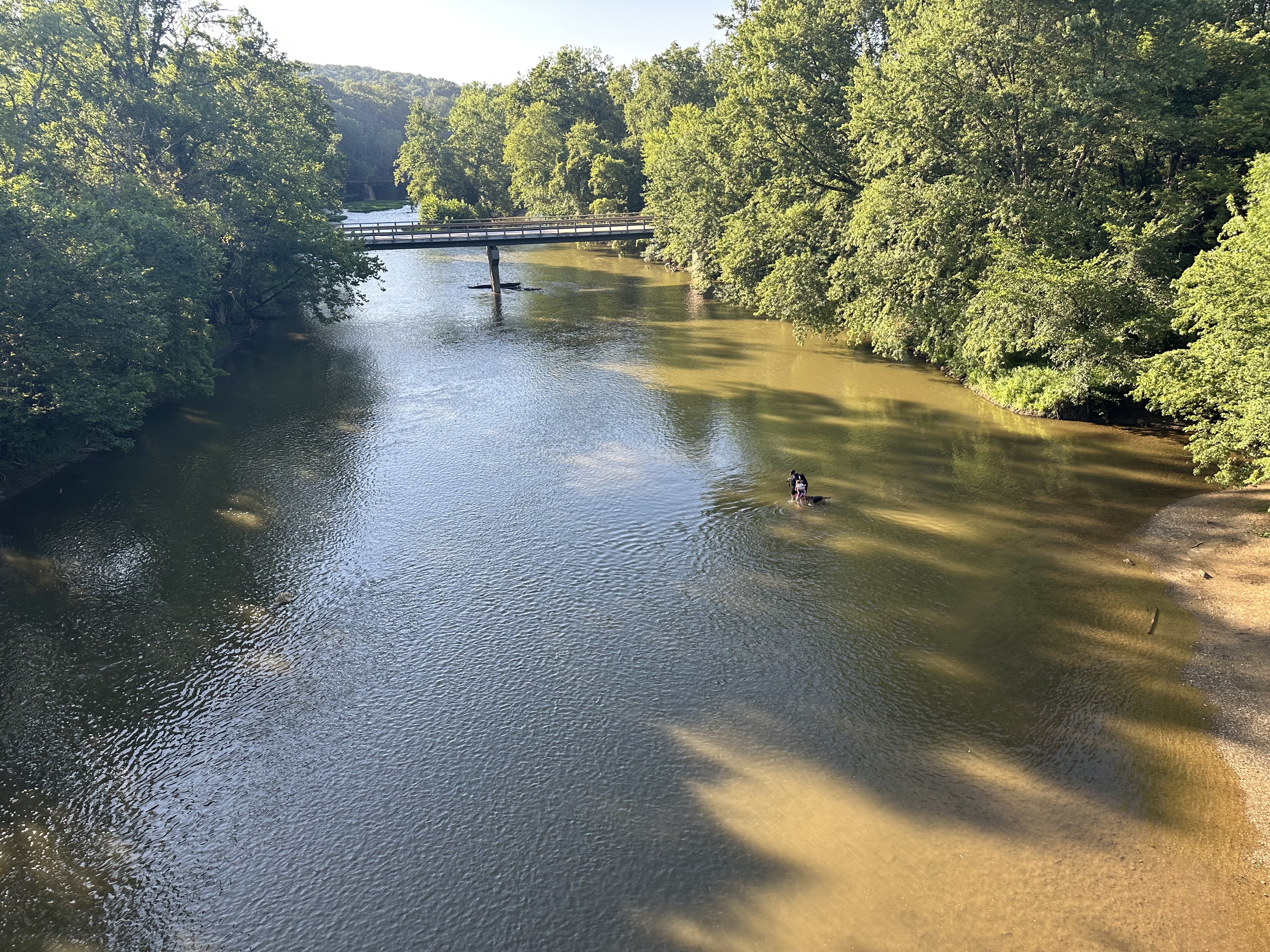
Cycling route in Mount Vernon, Ohio, United States
Cycling route in Mount Vernon, Ohio, United States
Cycling route in Mount Vernon, Ohio, United States