
Cycling in Cypress
Discover a map of 71 cycling routes and bike trails near Cypress, created by our community.
Region portrait
Get to know Cypress
Find the right bike route for you through Cypress, where we've got 71 cycle routes to explore. Most people get on their bikes to ride here in the months of October and November.
1,424 km
Tracked distance
71
Cycle routes
47,802
Population
Community
Most active users in Cypress
From our community
The best bike routes in and around Cypress

Cypress - Turnbull Canyon Loop
Cycling route in Cypress, California, United States of America
Great loop that has a great profile. Easy morning route.
- 124.4 km
- Distance
- 660 m
- Ascent
- 662 m
- Descent

Cypress-Chino-Cypress
Cycling route in Cypress, California, United States of America
Scenic flat out-and-back with a steep climb in the middle.
- 91.5 km
- Distance
- 463 m
- Ascent
- 463 m
- Descent

10591 Beatrice St, Cypress to 1423 Merriam Way, Long Beach
Cycling route in Cypress, California, United States of America
- 12.7 km
- Distance
- 17 m
- Ascent
- 22 m
- Descent

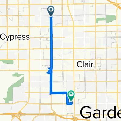
12041 Bailey St, Garden Grove to 12875 Beach Blvd S, Stanton
Cycling route in Cypress, California, United States of America
- 5.3 km
- Distance
- 13 m
- Ascent
- 8 m
- Descent
Discover more routes
 T660 Route
- Distance
- 80.4 km
- Ascent
- 206 m
- Descent
- 205 m
- Location
- Cypress, California, United States of America
 Recovered Route
- Distance
- 14.9 km
- Ascent
- 23 m
- Descent
- 38 m
- Location
- Cypress, California, United States of America
 5333–5413 Orange Ave, Cypress to 9600 Walker St, Cypress
- Distance
- 11 km
- Ascent
- 9 m
- Descent
- 14 m
- Location
- Cypress, California, United States of America
 6741 Ball Rd, Buena Park to Coyote Creek, Cypress
- Distance
- 26.9 km
- Ascent
- 13 m
- Descent
- 27 m
- Location
- Cypress, California, United States of America
 Bike ride to OC Great Park
- Distance
- 36.6 km
- Ascent
- 76 m
- Descent
- 46 m
- Location
- Cypress, California, United States of America
 8585 Knott Ave, Buena Park to 7887 Lampson Ave, Stanton
- Distance
- 8.5 km
- Ascent
- 0 m
- Descent
- 6 m
- Location
- Cypress, California, United States of America
 3626 W Ball Rd, Anaheim to San Gabriel River Bike Path, Downey
- Distance
- 23.7 km
- Ascent
- 11 m
- Descent
- 22 m
- Location
- Cypress, California, United States of America
 Easy ride in Cypress
- Distance
- 30.8 km
- Ascent
- 16 m
- Descent
- 16 m
- Location
- Cypress, California, United States of America