

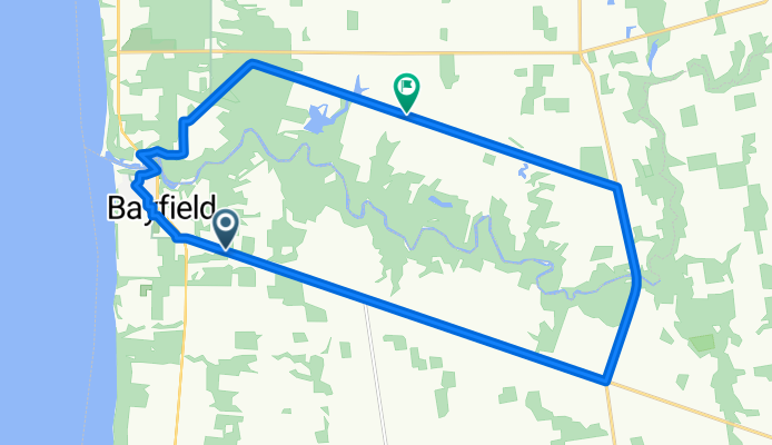


Sunview Avenue 71852, Dashwood to Sunview Avenue 71852, Dashwood
- 6.5 km
- 12 m
- 12 m
- Bluewater, Ontario, Canada

Discover a map of 17 cycling routes and bike trails near Bluewater, created by our community.
Region portrait
Find the right bike route for you through Bluewater, where we've got 17 cycle routes to explore.
1,212 km
Tracked distance
17
Cycle routes
7,044
Population
Community
From our community
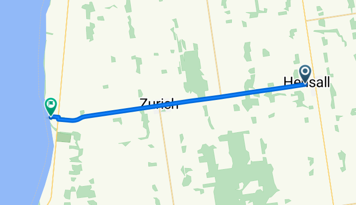
Cycling route in Bluewater, Ontario, Canada


