
Cycling in Bracebridge
Discover a map of 42 cycling routes and bike trails near Bracebridge, created by our community.
Region portrait
Get to know Bracebridge
Find the right bike route for you through Bracebridge, where we've got 42 cycle routes to explore. Most people get on their bikes to ride here in the month of July.
2,247 km
Tracked distance
42
Cycle routes
8,238
Population
Community
Most active users in Bracebridge


Handpicked routes
Discover Bracebridge through these collections
Tour
From our community
The best bike routes in and around Bracebridge

Gravenhurst Beach Road loop (popular)
Cycling route in Bracebridge, Ontario, Canada
Very scenic and popular 35 km route to Gravenhurst and back. Muskoka Beach road is rolling and windy and fun to ride. This route can be added on to in many different ways. Just as our staff. or check out other maps.
- 56.8 km
- Distance
- 407 m
- Ascent
- 389 m
- Descent

Nice rolling hill 100km
Cycling route in Bracebridge, Ontario, Canada
- 83.7 km
- Distance
- 602 m
- Ascent
- 610 m
- Descent


Muskoka Hilly 100km
Cycling route in Bracebridge, Ontario, Canada
- 81.3 km
- Distance
- 694 m
- Ascent
- 650 m
- Descent
Discover more routes
 Nice rolling hill 100km
- Distance
- 83.8 km
- Ascent
- 295 m
- Descent
- 304 m
- Location
- Bracebridge, Ontario, Canada
 Muskoka Recreational route #1
- Distance
- 14.4 km
- Ascent
- 121 m
- Descent
- 114 m
- Location
- Bracebridge, Ontario, Canada
 Milford Bay Route
- Distance
- 53.2 km
- Ascent
- 312 m
- Descent
- 315 m
- Location
- Bracebridge, Ontario, Canada
 For Nina
- Distance
- 62.8 km
- Ascent
- 733 m
- Descent
- 714 m
- Location
- Bracebridge, Ontario, Canada
 Bracebridge Oly
- Distance
- 40.1 km
- Ascent
- 311 m
- Descent
- 311 m
- Location
- Bracebridge, Ontario, Canada
 Bracebridge no. 2 (Milford Bay Route)
- Distance
- 68.4 km
- Ascent
- 692 m
- Descent
- 690 m
- Location
- Bracebridge, Ontario, Canada
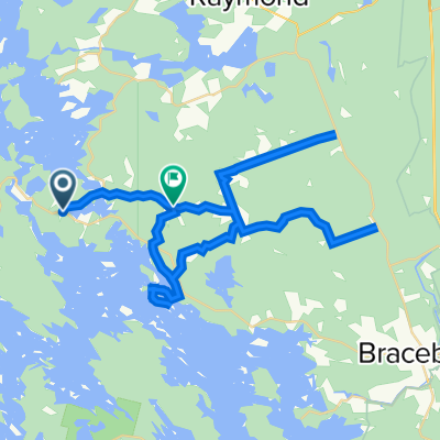
 300 Ecclestone Dr, Bracebridge to 166–172 Forbes Hill Dr, Huntsville
- Distance
- 43.5 km
- Ascent
- 333 m
- Descent
- 273 m
- Location
- Bracebridge, Ontario, Canada
 1060–1198 Greenwood Point Rd, Muskoka Lakes to 1127 Greenwood Point Rd, Muskoka Lakes
- Distance
- 13.9 km
- Ascent
- 216 m
- Descent
- 197 m
- Location
- Bracebridge, Ontario, Canada