
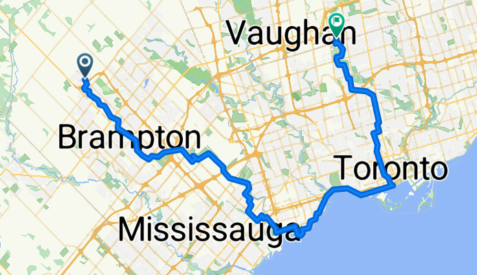


Guelph Street, Halton Hills to Steeles Avenue East 370, Brampton
- 41.8 km
- 113 m
- 113 m
- Brampton, Ontario, Canada

Find the right bike route for you through Brampton, where we've got 963 cycle routes to explore. Most people get on their bikes to ride here in the months of June and July.
Tracked distance
Cycle routes
Population
Cycling route in Brampton, Ontario, Canada


Cycling route in Brampton, Ontario, Canada
Cycling route in Brampton, Ontario, Canada
Cycling route in Brampton, Ontario, Canada


