
Cycling in Castlegar
Discover a map of 45 cycling routes and bike trails near Castlegar, created by our community.
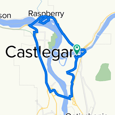
Region portrait
Get to know Castlegar
Find the right bike route for you through Castlegar, where we've got 45 cycle routes to explore. Most people get on their bikes to ride here in the month of September.
5,791 km
Tracked distance
45
Cycle routes
8,715
Population
Community
Most active users in Castlegar


From our community
The best bike routes in and around Castlegar

Castlegar to Chrisitina Lake
Cycling route in Castlegar, British Columbia, Canada
- 86.4 km
- Distance
- 898 m
- Ascent
- 823 m
- Descent

Nelson Loop
Cycling route in Castlegar, British Columbia, Canada
- 124.7 km
- Distance
- 1,232 m
- Ascent
- 993 m
- Descent

TCT Sectional/ Castlegar to Trail CLONED FROM ROUTE 552026
Cycling route in Castlegar, British Columbia, Canada
- 35.6 km
- Distance
- 368 m
- Ascent
- 390 m
- Descent

RRday3Option2
Cycling route in Castlegar, British Columbia, Canada
- 122.9 km
- Distance
- 2,440 m
- Ascent
- 1,879 m
- Descent
Discover more routes
 CA2 Castlegar Balfour
- Distance
- 83 km
- Ascent
- 864 m
- Descent
- 767 m
- Location
- Castlegar, British Columbia, Canada
 South Cgar to Baker st,
- Distance
- 46.5 km
- Ascent
- 389 m
- Descent
- 310 m
- Location
- Castlegar, British Columbia, Canada
 caslegar exploring
- Distance
- 10.7 km
- Ascent
- 74 m
- Descent
- 101 m
- Location
- Castlegar, British Columbia, Canada
 Barry Rd, Central Kootenay to Barry Rd, Central Kootenay
- Distance
- 14.7 km
- Ascent
- 197 m
- Descent
- 195 m
- Location
- Castlegar, British Columbia, Canada
 2018-02: Castlegar to Christina Lake
- Distance
- 88.8 km
- Ascent
- 987 m
- Descent
- 1,001 m
- Location
- Castlegar, British Columbia, Canada
 Castelgar-Gladstone provincial park
- Distance
- 70.4 km
- Ascent
- 1,169 m
- Descent
- 1,075 m
- Location
- Castlegar, British Columbia, Canada
 KBR5 Castlegar Balfour
- Distance
- 84.4 km
- Ascent
- 710 m
- Descent
- 599 m
- Location
- Castlegar, British Columbia, Canada
 310 Columbia Ave, Castlegar to Robertson St, Trail
- Distance
- 33.8 km
- Ascent
- 471 m
- Descent
- 488 m
- Location
- Castlegar, British Columbia, Canada