2802 Corriano Rd, Columbia Shuswap to 1445 Gilliespie Rd, Columbia Shuswap
- 59.9 km
- 919 m
- 924 m
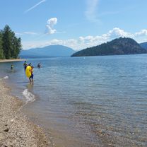
- Chase, British Columbia, Canada

Find the right bike route for you through Chase, where we've got 15 cycle routes to explore.
Tracked distance
Cycle routes
Population
Cycling route in Chase, British Columbia, Canada
Cycling route in Chase, British Columbia, Canada
Cycling route in Chase, British Columbia, Canada
Cycling route in Chase, British Columbia, Canada