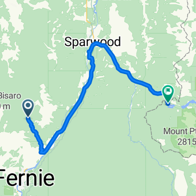
TGD 2018 day3 Fernie
- 190 km
- 2,076 m
- 2,300 m
- Fernie, British Columbia, Canada

Find the right bike route for you through Fernie, where we've got 33 cycle routes to explore.
Tracked distance
Cycle routes
Population
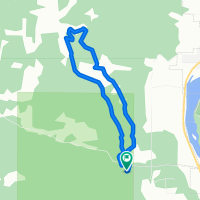
Cycling route in Fernie, British Columbia, Canada
Cycling route in Fernie, British Columbia, Canada
Cycling route in Fernie, British Columbia, Canada
Cycling route in Fernie, British Columbia, Canada