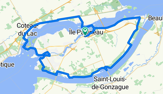
Cycling in Les Cèdres
Discover a map of 63 cycling routes and bike trails near Les Cèdres, created by our community.
Region portrait
Get to know Les Cèdres
Find the right bike route for you through Les Cèdres, where we've got 63 cycle routes to explore. Most people get on their bikes to ride here in the months of July and September.
2,285 km
Tracked distance
63
Cycle routes
1,434
Population
Community
Most active users in Les Cèdres
From our community
The best bike routes in and around Les Cèdres
La Boucle des 4 Canaux de chez andre
Cycling route in Les Cèdres, Quebec, Canada
- 33.1 km
- Distance
- 67 m
- Ascent
- 65 m
- Descent
Tour de cèdres
Cycling route in Les Cèdres, Quebec, Canada
Tour de cèdres
- 51.6 km
- Distance
- 59 m
- Ascent
- 47 m
- Descent
Discover more routes
- 100 km challenge for end of May
- Distance
- 67.1 km
- Ascent
- 136 m
- Descent
- 138 m
- Location
- Les Cèdres, Quebec, Canada
- Boulevard Pie-XII 402, Salaberry-de-Valleyfield to Chemin du Fleuve 889, Les Cèdres
- Distance
- 7.7 km
- Ascent
- 4 m
- Descent
- 6 m
- Location
- Les Cèdres, Quebec, Canada
- Moderate route in Saint-Louis-de-Gonzague
- Distance
- 56.5 km
- Ascent
- 94 m
- Descent
- 93 m
- Location
- Les Cèdres, Quebec, Canada
- trajet Ă pied
- Distance
- 5.9 km
- Ascent
- 29 m
- Descent
- 31 m
- Location
- Les Cèdres, Quebec, Canada
- St-Louis gonzague
- Distance
- 47.7 km
- Ascent
- 18 m
- Descent
- 21 m
- Location
- Les Cèdres, Quebec, Canada
- Randonnée à Ste-Martine - Ormstown et St-Louis
- Distance
- 62.4 km
- Ascent
- 34 m
- Descent
- 35 m
- Location
- Les Cèdres, Quebec, Canada
- De Rue Albert 49, Salaberry-de-Valleyfield Ă Rue Albert 44, Salaberry-de-Valleyfield
- Distance
- 26.3 km
- Ascent
- 29 m
- Descent
- 29 m
- Location
- Les Cèdres, Quebec, Canada
- Covey Hill
- Distance
- 87.2 km
- Ascent
- 319 m
- Descent
- 319 m
- Location
- Les Cèdres, Quebec, Canada