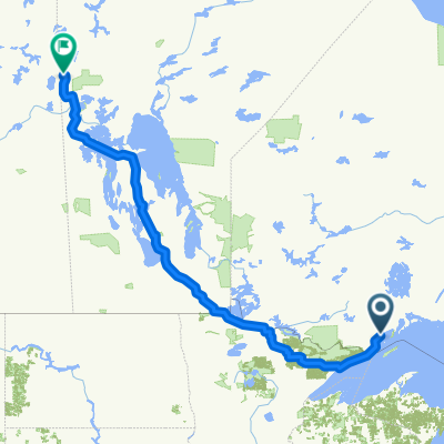
Cycling in Thunder Bay
Discover a map of 124 cycling routes and bike trails near Thunder Bay, created by our community.
Region portrait
Get to know Thunder Bay
Find the right bike route for you through Thunder Bay, where we've got 124 cycle routes to explore. Most people get on their bikes to ride here in the months of June and August.
9,039 km
Tracked distance
124
Cycle routes
99,334
Population
Community
Most active users in Thunder Bay
From our community
The best bike routes in and around Thunder Bay
FIRST RIDE- Kakkabekka Falls
Cycling route in Thunder Bay, Ontario, Canada
- 29 km
- Distance
- 223 m
- Ascent
- 168 m
- Descent
Discover more routes
- 72km: poline- mining-maki-miller-morrow john
- Distance
- 72.4 km
- Ascent
- 202 m
- Descent
- 201 m
- Location
- Thunder Bay, Ontario, Canada
- 2016 - Canada - Jour 39
- Distance
- 140.8 km
- Ascent
- 455 m
- Descent
- 388 m
- Location
- Thunder Bay, Ontario, Canada
- Sandy beach
- Distance
- 35.7 km
- Ascent
- 66 m
- Descent
- 107 m
- Location
- Thunder Bay, Ontario, Canada
- Gillies-Nolalu 110km
- Distance
- 108.3 km
- Ascent
- 579 m
- Descent
- 578 m
- Location
- Thunder Bay, Ontario, Canada
- 1250 Golf Links Rd, Thunder Bay to 1250 Golf Links Rd, Thunder Bay
- Distance
- 8.7 km
- Ascent
- 87 m
- Descent
- 90 m
- Location
- Thunder Bay, Ontario, Canada
- Selkirk Street South 410, Thunder Bay to Selkirk Street South 410, Thunder Bay
- Distance
- 7.3 km
- Ascent
- 0 m
- Descent
- 0 m
- Location
- Thunder Bay, Ontario, Canada
- 36 Peter St, Thunder Bay to 28 Peter St, Thunder Bay
- Distance
- 17 km
- Ascent
- 159 m
- Descent
- 162 m
- Location
- Thunder Bay, Ontario, Canada
- Ron Saddington Way, Thunder Bay to 408 Brock St E, Thunder Bay
- Distance
- 317.5 km
- Ascent
- 0 m
- Descent
- 24 m
- Location
- Thunder Bay, Ontario, Canada