 / Deutweg")
Cycling in Mattenbach (Kreis 7) / Deutweg
Discover a map of 87 cycling routes and bike trails near Mattenbach (Kreis 7) / Deutweg, created by our community.
Region portrait
Get to know Mattenbach (Kreis 7) / Deutweg
Find the right bike route for you through Mattenbach (Kreis 7) / Deutweg, where we've got 87 cycle routes to explore. Most people get on their bikes to ride here in the months of May and July.
14,091 km
Tracked distance
87
Cycle routes
5,930
Population
Community
Most active users in Mattenbach (Kreis 7) / Deutweg

From our community
The best bike routes in and around Mattenbach (Kreis 7) / Deutweg

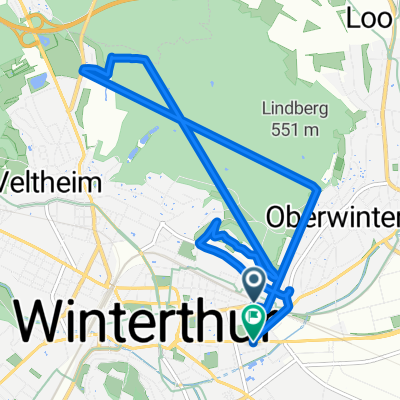
Abendroute Loker 160709
Cycling route in Mattenbach (Kreis 7) / Deutweg, Canton of Zurich, Switzerland
- 26.1 km
- Distance
- 110 m
- Ascent
- 110 m
- Descent


Unterer Deutweg, Winterthur to Seuzacherstrasse, Dinhard
Cycling route in Mattenbach (Kreis 7) / Deutweg, Canton of Zurich, Switzerland
- 15.4 km
- Distance
- 190 m
- Ascent
- 187 m
- Descent

Rund ums Tösstal
Cycling route in Mattenbach (Kreis 7) / Deutweg, Canton of Zurich, Switzerland
- 96.2 km
- Distance
- 1,468 m
- Ascent
- 1,468 m
- Descent

Route zu Burghof
Cycling route in Mattenbach (Kreis 7) / Deutweg, Canton of Zurich, Switzerland
- 22.6 km
- Distance
- 129 m
- Ascent
- 188 m
- Descent
Discover more routes
 winterthur
- Distance
- 20.7 km
- Ascent
- 313 m
- Descent
- 312 m
- Location
- Mattenbach (Kreis 7) / Deutweg, Canton of Zurich, Switzerland
 Winterthur Zürich
- Distance
- 26.5 km
- Ascent
- 223 m
- Descent
- 266 m
- Location
- Mattenbach (Kreis 7) / Deutweg, Canton of Zurich, Switzerland
 Winterthur - Hulftegg - Winterthur
- Distance
- 68.7 km
- Ascent
- 672 m
- Descent
- 670 m
- Location
- Mattenbach (Kreis 7) / Deutweg, Canton of Zurich, Switzerland
 Forrenberg Wald Rund
- Distance
- 9.4 km
- Ascent
- 162 m
- Descent
- 162 m
- Location
- Mattenbach (Kreis 7) / Deutweg, Canton of Zurich, Switzerland
 bike tour from Winterthur to Wetzikon (ZH)
- Distance
- 24.2 km
- Ascent
- 256 m
- Descent
- 155 m
- Location
- Mattenbach (Kreis 7) / Deutweg, Canton of Zurich, Switzerland
 Winterthur -> Appenzell
- Distance
- 93.8 km
- Ascent
- 1,406 m
- Descent
- 1,071 m
- Location
- Mattenbach (Kreis 7) / Deutweg, Canton of Zurich, Switzerland
 Egg ZH
- Distance
- 31.7 km
- Ascent
- 374 m
- Descent
- 261 m
- Location
- Mattenbach (Kreis 7) / Deutweg, Canton of Zurich, Switzerland
 frankreich, spanien, portugal, nederlande, belgien, dänemark, norwegen, schweden, deutschland
- Distance
- 10,600.9 km
- Ascent
- 22,425 m
- Descent
- 22,453 m
- Location
- Mattenbach (Kreis 7) / Deutweg, Canton of Zurich, Switzerland