- 1,651.1 km
- 12,767 m
- 13,242 m
- Zürich (Kreis 6) / Unterstrass, Canton of Zurich, Switzerland

Cycling in Zürich (Kreis 6) / Unterstrass
Discover a map of 356 cycling routes and bike trails near Zürich (Kreis 6) / Unterstrass, created by our community.
Region portrait
Get to know Zürich (Kreis 6) / Unterstrass
Find the right bike route for you through Zürich (Kreis 6) / Unterstrass, where we've got 356 cycle routes to explore. Most people get on their bikes to ride here in the months of May and July.
20,413 km
Tracked distance
356
Cycle routes
20,045
Population
Community
Most active users in Zürich (Kreis 6) / Unterstrass
Handpicked routes
Discover Zürich (Kreis 6) / Unterstrass through these collections
- Official Tour
Zurich to Stein am Rhein
3 routes
From our community
The best bike routes in and around Zürich (Kreis 6) / Unterstrass
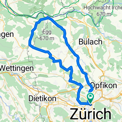
Albisrunde
Cycling route in Zürich (Kreis 6) / Unterstrass, Canton of Zurich, Switzerland
- 57.7 km
- Distance
- 958 m
- Ascent
- 958 m
- Descent
Wipkinge-Kyburg-Retour
Cycling route in Zürich (Kreis 6) / Unterstrass, Canton of Zurich, Switzerland
- 55.6 km
- Distance
- 624 m
- Ascent
- 612 m
- Descent
Bucheggstrasse to Schachenweg
Cycling route in Zürich (Kreis 6) / Unterstrass, Canton of Zurich, Switzerland
- 24.2 km
- Distance
- 142 m
- Ascent
- 161 m
- Descent
Von Zürich bis Rümlang
Cycling route in Zürich (Kreis 6) / Unterstrass, Canton of Zurich, Switzerland
- 113.7 km
- Distance
- 1,165 m
- Ascent
- 1,201 m
- Descent
Discover more routes
- Sylt mit Halts
- Milchbuck Nordroute 58 K
- 58.5 km
- 612 m
- 616 m
- Zürich (Kreis 6) / Unterstrass, Canton of Zurich, Switzerland
- Uetliberg und Ibergeregg
- 94.7 km
- 1,686 m
- 1,262 m
- Zürich (Kreis 6) / Unterstrass, Canton of Zurich, Switzerland
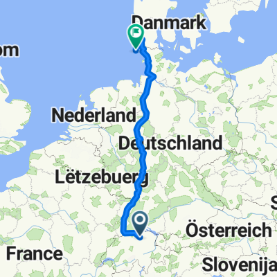
- Zürich-Sylt
- 1,323.9 km
- 4,857 m
- 5,329 m
- Zürich (Kreis 6) / Unterstrass, Canton of Zurich, Switzerland
- Bucheggplatz-Höengg-Altberg
- 28.7 km
- 483 m
- 471 m
- Zürich (Kreis 6) / Unterstrass, Canton of Zurich, Switzerland
- Binz-Zollikerberg
- 26.2 km
- 370 m
- 370 m
- Zürich (Kreis 6) / Unterstrass, Canton of Zurich, Switzerland
- Flughafenrunde
- 28.6 km
- 84 m
- 87 m
- Zürich (Kreis 6) / Unterstrass, Canton of Zurich, Switzerland
- Zürich Pfannenstiel Greifensee Loop CLONED FROM ROUTE 895504
- 50.8 km
- 643 m
- 649 m
- Zürich (Kreis 6) / Unterstrass, Canton of Zurich, Switzerland


