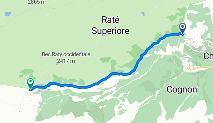
champorcher-rifugio barbustel
- 4.5 km
- 551 m
- 148 m
- Champorcher, Aosta Valley, Italy

Discover a map of 20 cycling routes and bike trails near Champorcher, created by our community.
Region portrait
Find the right bike route for you through Champorcher, where we've got 20 cycle routes to explore.
236 km
Tracked distance
20
Cycle routes
423
Population
Community
From our community
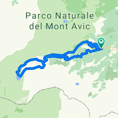
Cycling route in Champorcher, Aosta Valley, Italy
Cycling route in Champorcher, Aosta Valley, Italy
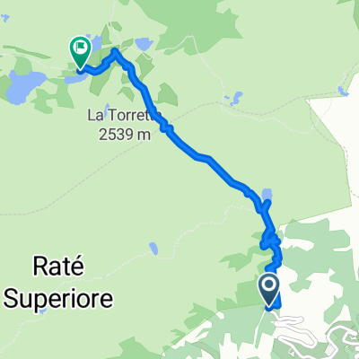
Cycling route in Champorcher, Aosta Valley, Italy