
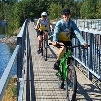
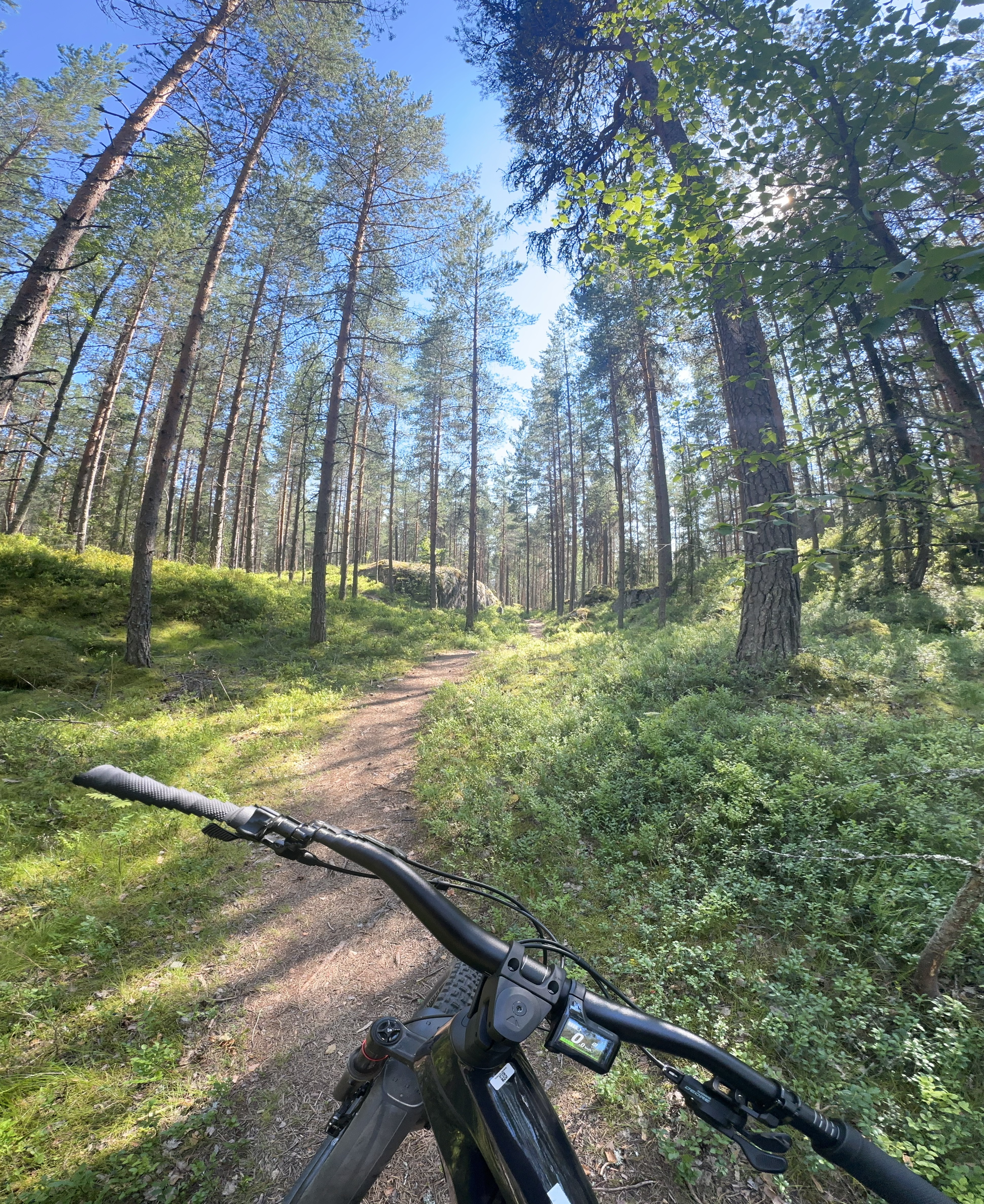
Cycling in Finland
Discover a map of 13,850 cycling routes and bike trails in Finland, created by our community.
Region portrait
Get to know Finland
In Finland, located in northern Lapland, you can watch the northern lights that shine on the sky on more than 200 days per year. Nevertheless, night can become day due to its location high up North, as the sun doesn’t set at the end of June / begin of July north of the polar circle. This way, you can flexibly find many bike routes showcasing the beauty of Finnish nature and taking advantage of the country’s geographic factors through the land of 1000 lakes with the bike route planner.
1,437,021 km
Tracked distance
13,850
Cycle routes
5.2 million
Population


Handpicked routes
Discover Finland through these collections

From our community
The best bike routes in Finland


Varvikkokuja to Huurrekuja
Cycling route in Oulu, North Ostrobothnia, Finland
- 25.9 km
- Distance
- 280 m
- Ascent
- 283 m
- Descent


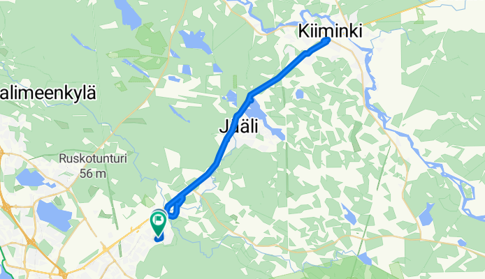
Kinostie to Huurrekuja
Cycling route in Oulu, North Ostrobothnia, Finland
- 30.8 km
- Distance
- 324 m
- Ascent
- 336 m
- Descent


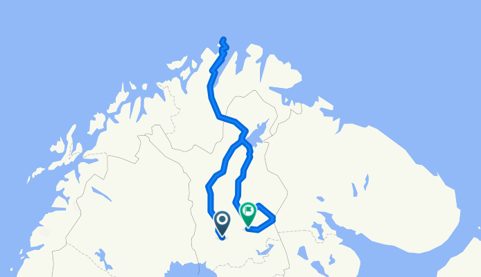
Rovaniemi - Nordkap - Kemijärvi
Cycling route in Rovaniemi, Lapland Region, Finland
- 1,596.9 km
- Distance
- 10,355 m
- Ascent
- 10,332 m
- Descent


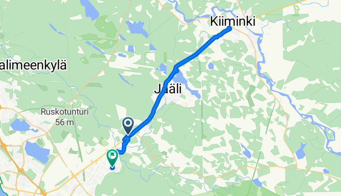
Isoahontie to Huurrekuja
Cycling route in Kiiminki, North Ostrobothnia, Finland
- 14.8 km
- Distance
- 96 m
- Ascent
- 134 m
- Descent
Discover more routes
 Inkalantie to Päiväkummuntie
- Distance
- 86.7 km
- Ascent
- 802 m
- Descent
- 851 m
- Location
- Renko, Kanta-Häme, Finland
 Skrattnäsintie, Pjelax nach Kristiinankaupunki
- Distance
- 19.5 km
- Ascent
- 81 m
- Descent
- 82 m
- Location
- Kaskinen, Ostrobothnia, Finland
 Jussilantie, Luvia nach Lapintie, Eurajoki
- Distance
- 37.7 km
- Ascent
- 313 m
- Descent
- 326 m
- Location
- Luvia, Satakunta Region, Finland
 Espoo - Nuxio - Espoo
- Distance
- 45.4 km
- Ascent
- 612 m
- Descent
- 621 m
- Location
- Espoo, Uusimaa, Finland
 Punkaharju circle
- Distance
- 46 km
- Ascent
- 401 m
- Descent
- 420 m
- Location
- Punkaharju, South Savo, Finland
 JäPy GRVL 25.10.25
- Distance
- 79.6 km
- Ascent
- 510 m
- Descent
- 508 m
- Location
- Järvenpää, Uusimaa, Finland
 Hiittenharju - 27 km - easy round route
- Distance
- 28.3 km
- Ascent
- 273 m
- Descent
- 305 m
- Location
- Harjavalta, Satakunta Region, Finland
 Satamapolku, Messilä to Satamapolku, Messilä
- Distance
- 12.7 km
- Ascent
- 431 m
- Descent
- 428 m
- Location
- Hollola, Paijat-Hame, Finland
Highlights
- The Åland islands are relatively small and can comfortably be explored by bike. Good ferry services make island hopping easier and there are many camping sites on the islands.
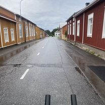
- The coastal route starts in Finland’s former capital, Turku, and leads along the flat west coast through idyllic villages and charming cities up to Oulu at the Gulf of Bothnia (955 kilometres).
- The VIA FINLANDIA from Helsinki over Tampere to Vaasa is 596 kilometres long in total and leads through a number of different landscapes. You can find numerous lakes, quiet waters and hilly forest and agricultural landscapes in the South. The route slowly calms in the northern part of the route and the landscape is characterised by the wide, flat land.
Tips
- Visit an original Finnish sauna after an exhausting bike tour.
- Finland’s climate is continental with relatively warm summers and cold winters.
- Despite the rains, summer is the best time to visit Finland as the long daylight gives travelling cyclists a lot of leeway in their organisation of time. In August, it starts getting cooler as the days grow shorter again.
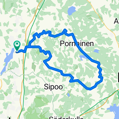
See where people are biking in Finland
Popular cycling regions in Finland


