


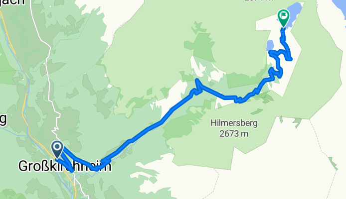

Döllach 100, Großkirchheim to Zlapp und Hof, Heiligenblut am Großglockner
- 27.8 km
- 2,819 m
- 1,963 m
- Großkirchheim, Carinthia, Austria

Discover a map of 105 cycling routes and bike trails near Großkirchheim, created by our community.
Region portrait
Find the right bike route for you through Großkirchheim, where we've got 105 cycle routes to explore. Most people get on their bikes to ride here in the months of July and August.
6,914 km
Tracked distance
105
Cycle routes
Community
From our community
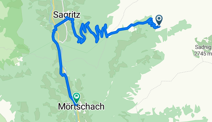
Cycling route in Großkirchheim, Carinthia, Austria
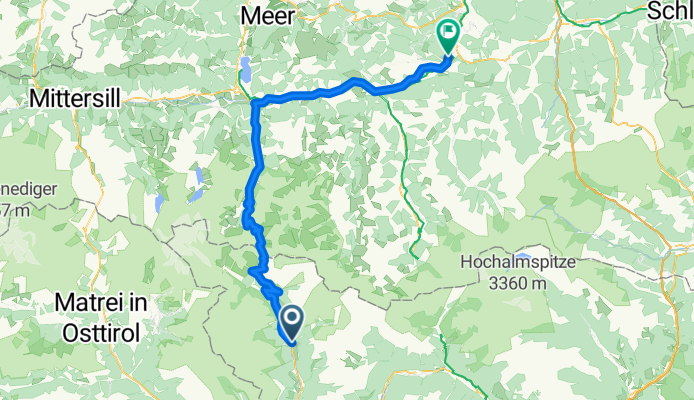
Cycling route in Großkirchheim, Carinthia, Austria
Cycling route in Großkirchheim, Carinthia, Austria
By bicycle from


