
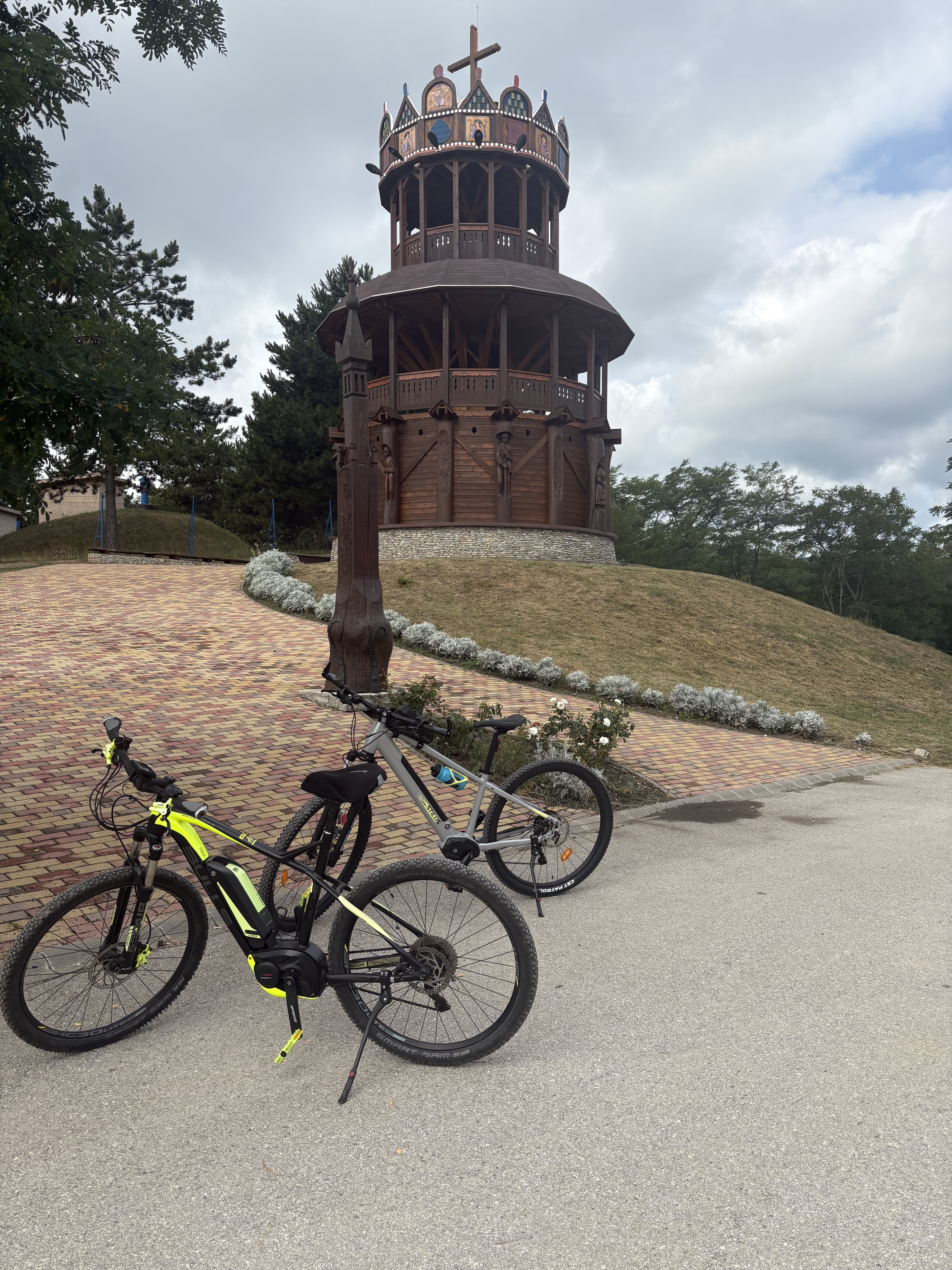
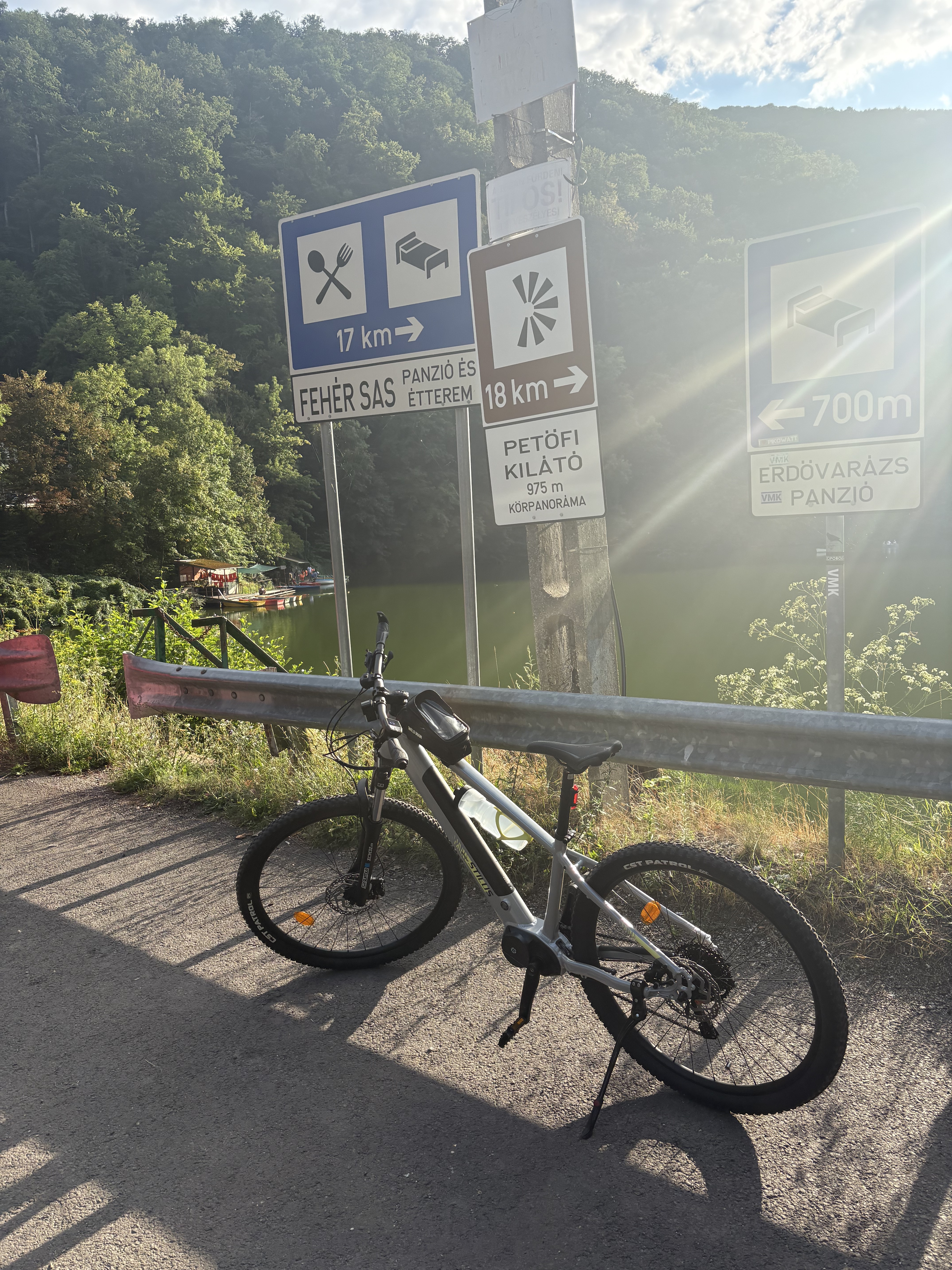
Cycling in Miskolc
Discover a map of 1,467 cycling routes and bike trails near Miskolc, created by our community.
Region portrait
Get to know Miskolc
Find the right bike route for you through Miskolc, where we've got 1,467 cycle routes to explore. Most people get on their bikes to ride here in the months of June and August.
110,169 km
Tracked distance
1,467
Cycle routes
172,637
Population
Community
Most active users in Miskolc


Handpicked routes
Discover Miskolc through these collections
Tour
From our community
The best bike routes in and around Miskolc


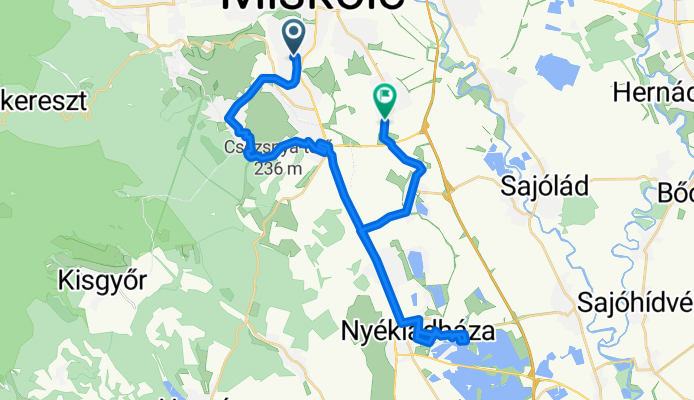
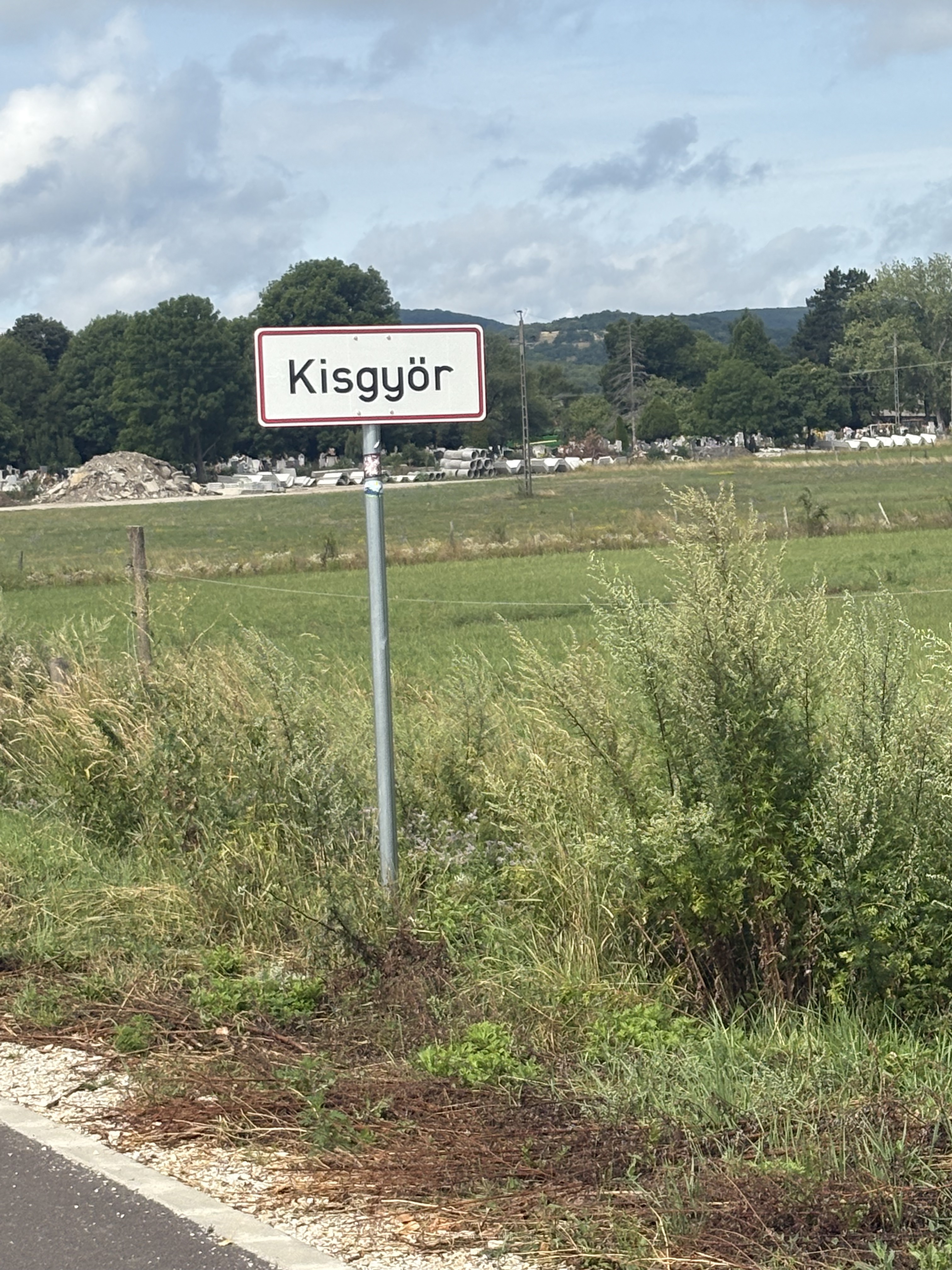
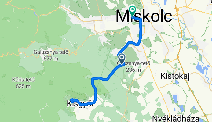
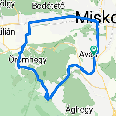
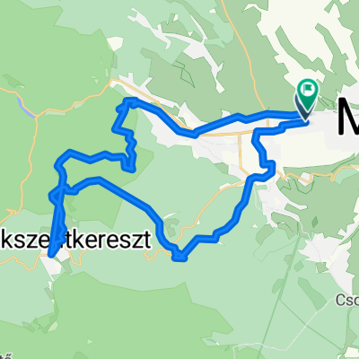
Miskolc - Nyék- Miskolc
Cycling route in Miskolc, Borsod-Abauj Zemplen county, Hungary
- 34.8 km
- Distance
- 126 m
- Ascent
- 225 m
- Descent


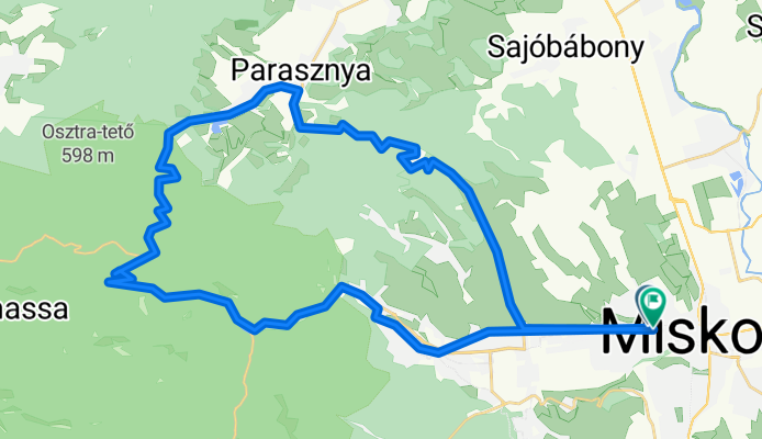
Kis-Hunyad utca, Miskolc - Kis-Hunyad utca, Miskolc
Cycling route in Miskolc, Borsod-Abauj Zemplen county, Hungary
- 46.7 km
- Distance
- 559 m
- Ascent
- 561 m
- Descent


xyzt5vcs6
Cycling route in Miskolc, Borsod-Abauj Zemplen county, Hungary
- 15.5 km
- Distance
- 524 m
- Ascent
- 597 m
- Descent
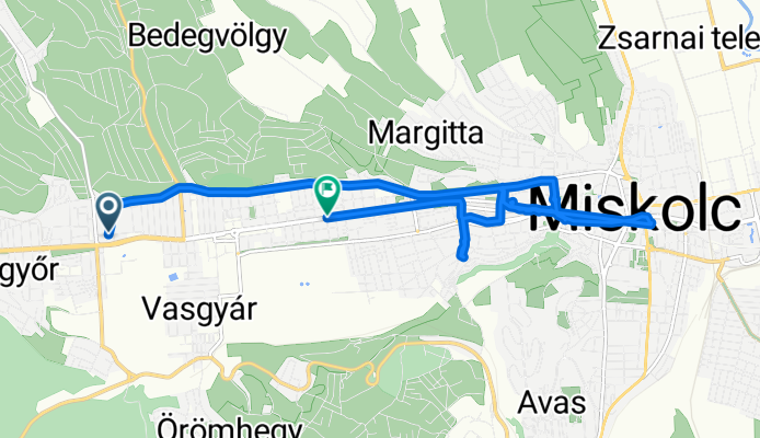
Görömbölyi utca, Miskolc - Kis-Hunyad utca, Miskolc
Cycling route in Miskolc, Borsod-Abauj Zemplen county, Hungary
- 31.4 km
- Distance
- 458 m
- Ascent
- 495 m
- Descent
Discover more routes
 Ilona utca, Miskolc - Kis-Hunyad utca, Miskolc
- Distance
- 41.5 km
- Ascent
- 420 m
- Descent
- 421 m
- Location
- Miskolc, Borsod-Abauj Zemplen county, Hungary
 Útvonal ide: Katowice utca 35-27
- Distance
- 21.6 km
- Ascent
- 170 m
- Descent
- 216 m
- Location
- Miskolc, Borsod-Abauj Zemplen county, Hungary
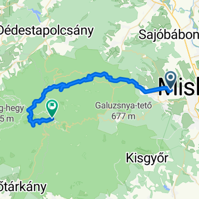
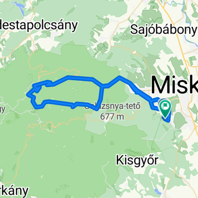
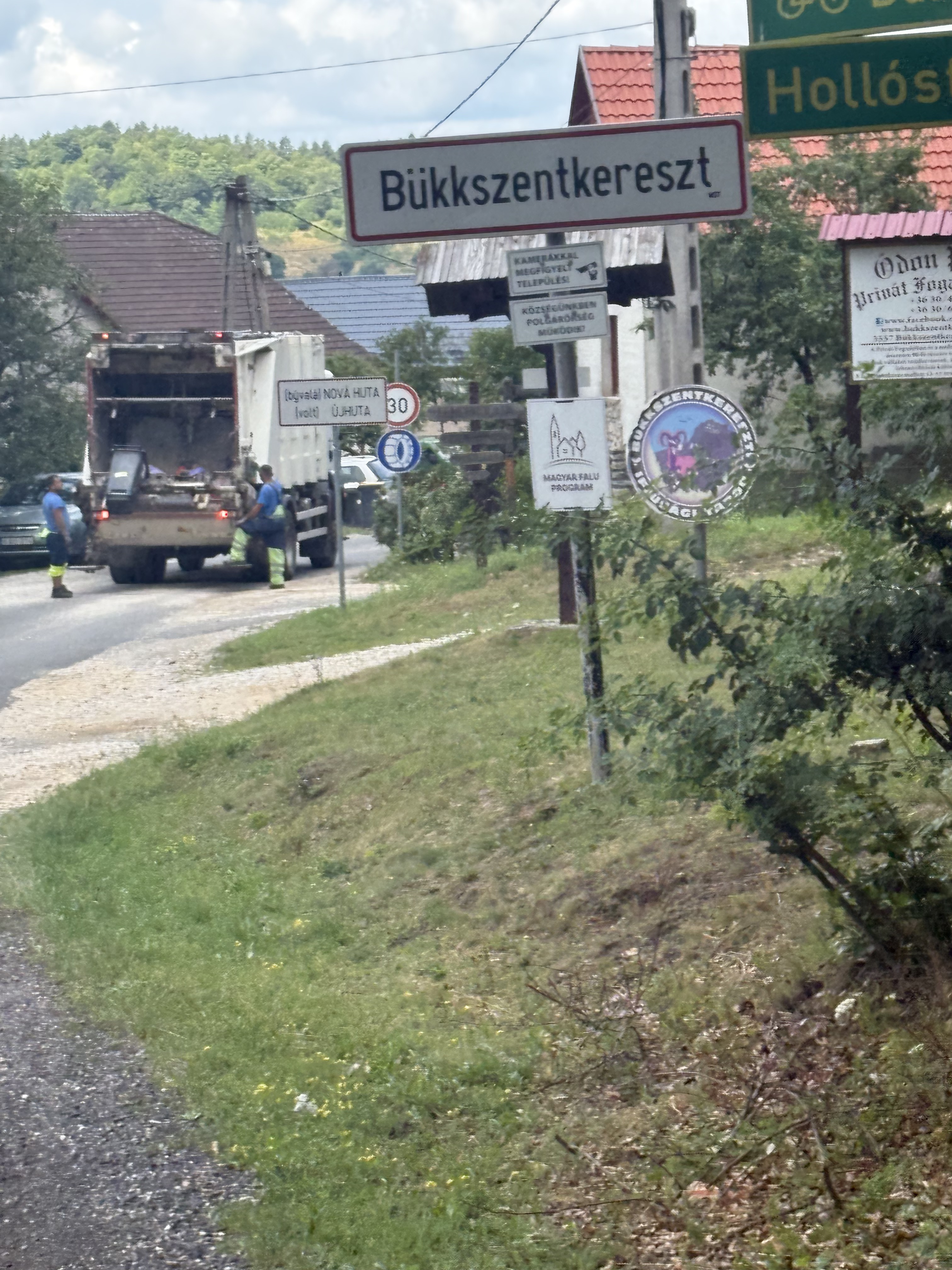 Kis-Hunyad utca, Miskolc - 2519-es mellékút, Bükkszentkereszt
- Distance
- 15.4 km
- Ascent
- 524 m
- Descent
- 40 m
- Location
- Miskolc, Borsod-Abauj Zemplen county, Hungary
 Csabavezér utca, Miskolc - Bogáncs utca, Miskolc
- Distance
- 31.7 km
- Ascent
- 66 m
- Descent
- 70 m
- Location
- Miskolc, Borsod-Abauj Zemplen county, Hungary
 Komlóstető night ride
- Distance
- 19.6 km
- Ascent
- 211 m
- Descent
- 246 m
- Location
- Miskolc, Borsod-Abauj Zemplen county, Hungary
 48.103, 20.738 - 48.067, 20.500
- Distance
- 43.3 km
- Ascent
- 2,059 m
- Descent
- 1,357 m
- Location
- Miskolc, Borsod-Abauj Zemplen county, Hungary
 Brigád utca, Miskolc - Újítók utca, Miskolc
- Distance
- 34.7 km
- Ascent
- 950 m
- Descent
- 955 m
- Location
- Miskolc, Borsod-Abauj Zemplen county, Hungary
 Iglói utca - Iglói utca
- Distance
- 66.1 km
- Ascent
- 1,233 m
- Descent
- 1,292 m
- Location
- Miskolc, Borsod-Abauj Zemplen county, Hungary
Routes from Miskolc
Cycling day trip from
Miskolc to Szilvásvárad
Cycling day trip from
Miskolc to Eger
By bicycle from
Miskolc to Sajóbábony
Routes to Miskolc
Cycling day trip from
Eger to Miskolc