
Cycling in Segalstad bru
Discover a map of 13 cycling routes and bike trails near Segalstad bru, created by our community.
Region portrait
Get to know Segalstad bru
Find the right bike route for you through Segalstad bru, where we've got 13 cycle routes to explore.
3,382 km
Tracked distance
13
Cycle routes
Community
Most active users in Segalstad bru


From our community
The best bike routes in and around Segalstad bru

Route Norway day 4
Cycling route in Segalstad bru, Oppland, Norway
Route Norway day 4
2013 Norway trip
- 93.3 km
- Distance
- 921 m
- Ascent
- 1,045 m
- Descent

Segalstad bru-Ringebu via Vestsidevegen
Cycling route in Segalstad bru, Oppland, Norway
- 50.1 km
- Distance
- 906 m
- Ascent
- 956 m
- Descent

Norway - England
Cycling route in Segalstad bru, Oppland, Norway
- 2,418.3 km
- Distance
- 900 m
- Ascent
- 1,206 m
- Descent

Discover more routes
 Vestringsvegen Climb
- Distance
- 69.4 km
- Ascent
- 1,275 m
- Descent
- 1,268 m
- Location
- Segalstad bru, Oppland, Norway
 Major Loop > Skabu
- Distance
- 169.9 km
- Ascent
- 1,599 m
- Descent
- 1,566 m
- Location
- Segalstad bru, Oppland, Norway
 Coastal Loop (Tjonndalen)
- Distance
- 78.2 km
- Ascent
- 1,263 m
- Descent
- 1,260 m
- Location
- Segalstad bru, Oppland, Norway
 Jordmorvegen do Busetervegen
- Distance
- 41 km
- Ascent
- 1,273 m
- Descent
- 602 m
- Location
- Segalstad bru, Oppland, Norway
 Hunderfossen Oyer
- Distance
- 34.5 km
- Ascent
- 906 m
- Descent
- 833 m
- Location
- Segalstad bru, Oppland, Norway
 Oppsjoen Climb
- Distance
- 74.9 km
- Ascent
- 1,353 m
- Descent
- 1,362 m
- Location
- Segalstad bru, Oppland, Norway
 Jotunheimen
- Distance
- 261 km
- Ascent
- 2,518 m
- Descent
- 2,532 m
- Location
- Segalstad bru, Oppland, Norway
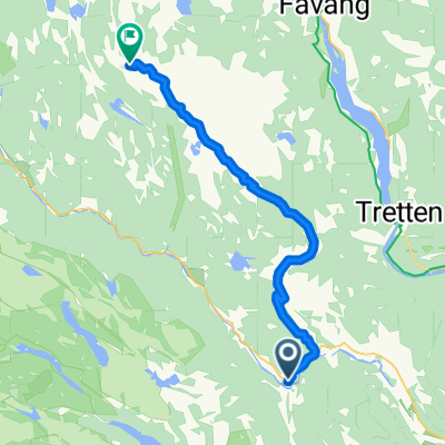
 Fossekrovegen 90, Fåberg nach Hundervegen 17, Øyer
- Distance
- 3.3 km
- Ascent
- 46 m
- Descent
- 38 m
- Location
- Segalstad bru, Oppland, Norway