
Cycling in Caulfield South
Discover a map of 48 cycling routes and bike trails near Caulfield South, created by our community.
Region portrait
Get to know Caulfield South
Find the right bike route for you through Caulfield South, where we've got 48 cycle routes to explore.
697 km
Tracked distance
48
Cycle routes
11,113
Population
Community
Most active users in Caulfield South
From our community
The best bike routes in and around Caulfield South
Beach road with CE
Cycling route in Caulfield South, Victoria, Australia
- 43 km
- Distance
- 121 m
- Ascent
- 121 m
- Descent
Hawthorn Rd, Caulfield South to Sullivan St, Moorabbin
Cycling route in Caulfield South, Victoria, Australia
- 35.4 km
- Distance
- 138 m
- Ascent
- 118 m
- Descent
276–286 Bambra Rd, Caulfield South to 369 Neerim Rd, Carnegie
Cycling route in Caulfield South, Victoria, Australia
- 7 km
- Distance
- 70 m
- Ascent
- 59 m
- Descent
Discover more routes
- Recovered Route
- Distance
- 9.4 km
- Ascent
- 40 m
- Descent
- 51 m
- Location
- Caulfield South, Victoria, Australia
- work commute
- Distance
- 10.2 km
- Ascent
- 42 m
- Descent
- 54 m
- Location
- Caulfield South, Victoria, Australia
- Rosebud
- Distance
- 64.3 km
- Ascent
- 503 m
- Descent
- 484 m
- Location
- Caulfield South, Victoria, Australia
- to st vincents
- Distance
- 13.6 km
- Ascent
- 141 m
- Descent
- 134 m
- Location
- Caulfield South, Victoria, Australia
- 980–982 Glen Huntly Road, Caulfield South to 10-16 Ranfurlie Crescent, Glen Iris
- Distance
- 4.8 km
- Ascent
- 38 m
- Descent
- 28 m
- Location
- Caulfield South, Victoria, Australia
- Nelson Street 1, Caulfield South to State Route 29 242, Prahran
- Distance
- 8.1 km
- Ascent
- 60 m
- Descent
- 69 m
- Location
- Caulfield South, Victoria, Australia
- test
- Distance
- 15.2 km
- Ascent
- 35 m
- Descent
- 52 m
- Location
- Caulfield South, Victoria, Australia
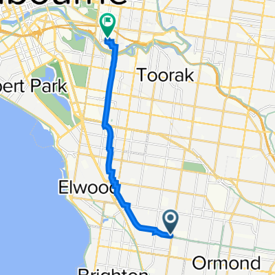
- 1–7 Omar St, Caulfield South to 55 Halstead St, Caulfield North
- Distance
- 56.5 km
- Ascent
- 211 m
- Descent
- 187 m
- Location
- Caulfield South, Victoria, Australia