
Yarra Street 221B, South Geelong to Yarra Street 221B, South Geelong
- 71.6 km
- 297 m
- 296 m
- East Geelong, Victoria, Australia

Find the right bike route for you through East Geelong, where we've got 64 cycle routes to explore. Most people get on their bikes to ride here in the month of January.
Tracked distance
Cycle routes
Population
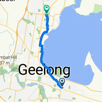
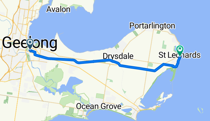
Cycling route in East Geelong, Victoria, Australia
Cycling route in East Geelong, Victoria, Australia
Cycling route in East Geelong, Victoria, Australia