
Cycling in Stafford Heights
Discover a map of 74 cycling routes and bike trails near Stafford Heights, created by our community.
Region portrait
Get to know Stafford Heights
Find the right bike route for you through Stafford Heights, where we've got 74 cycle routes to explore. Most people get on their bikes to ride here in the month of January.
1,658 km
Tracked distance
74
Cycle routes
6,780
Population
Community
Most active users in Stafford Heights


From our community
The best bike routes in and around Stafford Heights

Stafford to Allpass Pde
Cycling route in Stafford Heights, Queensland, Australia
- 40.5 km
- Distance
- 186 m
- Ascent
- 190 m
- Descent

The Chermside Chase
Cycling route in Stafford Heights, Queensland, Australia
- 11.5 km
- Distance
- 72 m
- Ascent
- 110 m
- Descent

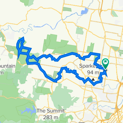
Chermside west Arana Hills
Cycling route in Stafford Heights, Queensland, Australia
- 38.1 km
- Distance
- 144 m
- Ascent
- 153 m
- Descent

Stafford, Bridgeman Downs, Ferny Grove
Cycling route in Stafford Heights, Queensland, Australia
- 32.9 km
- Distance
- 884 m
- Ascent
- 868 m
- Descent
Discover more routes
 Stafford to Shorncliffe
- Distance
- 44.2 km
- Ascent
- 119 m
- Descent
- 122 m
- Location
- Stafford Heights, Queensland, Australia
 Pangeza Street 66, Stafford Heights to Pangeza Street 5, Stafford Heights
- Distance
- 33.5 km
- Ascent
- 222 m
- Descent
- 222 m
- Location
- Stafford Heights, Queensland, Australia
 Stafford to Brekkie Creek
- Distance
- 32 km
- Ascent
- 327 m
- Descent
- 333 m
- Location
- Stafford Heights, Queensland, Australia
 Pangeza, Albany Creek, Carseldine, Pangeza
- Distance
- 43.2 km
- Ascent
- 423 m
- Descent
- 419 m
- Location
- Stafford Heights, Queensland, Australia
 Stafford to Samford Conservation Park trial run 12 Sept 21
- Distance
- 44.8 km
- Ascent
- 434 m
- Descent
- 434 m
- Location
- Stafford Heights, Queensland, Australia
 Downfall creek
- Distance
- 13.4 km
- Ascent
- 42 m
- Descent
- 75 m
- Location
- Stafford Heights, Queensland, Australia
 Apr 23 Stafford to Jinker Track
- Distance
- 23 km
- Ascent
- 293 m
- Descent
- 294 m
- Location
- Stafford Heights, Queensland, Australia
 Culworth Street 1, Chermside West to Ainsdale Street 30, Chermside West
- Distance
- 75.9 km
- Ascent
- 741 m
- Descent
- 741 m
- Location
- Stafford Heights, Queensland, Australia