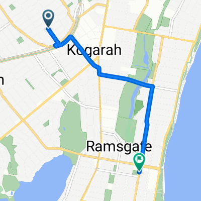
Montgomery Street 51, Kogarah to Montgomery Street 51, Kogarah
- 23.3 km
- 23 m
- 26 m
- Beverley Park, New South Wales, Australia

Discover a map of 43 cycling routes and bike trails near Beverley Park, created by our community.
Region portrait
Find the right bike route for you through Beverley Park, where we've got 43 cycle routes to explore.
790 km
Tracked distance
43
Cycle routes
2,053
Population
Community
From our community
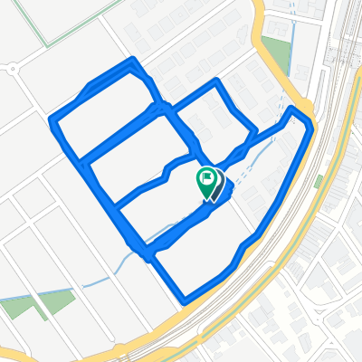
Cycling route in Beverley Park, New South Wales, Australia
Cycling route in Beverley Park, New South Wales, Australia
Cycling route in Beverley Park, New South Wales, Australia
Cycling route in Beverley Park, New South Wales, Australia