
Cycling in Bexley North
Discover a map of 56 cycling routes and bike trails near Bexley North, created by our community.
Region portrait
Get to know Bexley North
Find the right bike route for you through Bexley North, where we've got 56 cycle routes to explore.
1,673 km
Tracked distance
56
Cycle routes
3,999
Population
Community
Most active users in Bexley North


From our community
The best bike routes in and around Bexley North

cooks River home loop
Cycling route in Bexley North, New South Wales, Australia
- 10.2 km
- Distance
- 146 m
- Ascent
- 139 m
- Descent
![(Map 3) M5 Linear Park (Kingsgrove) to Bexley [via Bexley North]](https://media.bikemap.net/routes/15929589/staticmaps/in_a8a15940-1200-41d0-a1ed-7ff8b7b97ec0_694x400_bikemap-2021-3D-static.png)
(Map 3) M5 Linear Park (Kingsgrove) to Bexley [via Bexley North]
Cycling route in Bexley North, New South Wales, Australia
- 3.6 km
- Distance
- 31 m
- Ascent
- 4 m
- Descent

(Map 3D) M5 Linear Park to Bexley Pool
Cycling route in Bexley North, New South Wales, Australia
- 2.7 km
- Distance
- 32 m
- Ascent
- 16 m
- Descent
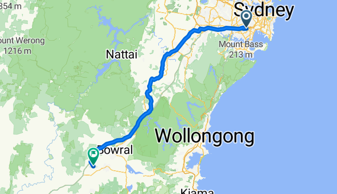
Miller Avenue 16, Bexley North to Golden Vale Road, Sutton Forest
Cycling route in Bexley North, New South Wales, Australia
- 132 km
- Distance
- 2,182 m
- Ascent
- 1,566 m
- Descent
Discover more routes
 Bexley North to Cooks River
- Distance
- 3.7 km
- Ascent
- 32 m
- Descent
- 45 m
- Location
- Bexley North, New South Wales, Australia
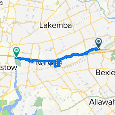
 9 Calbina Road, Earlwood to 13 Calbina Road, Earlwood
- Distance
- 22.6 km
- Ascent
- 34 m
- Descent
- 57 m
- Location
- Bexley North, New South Wales, Australia
 Kingsland road to Struthers st
- Distance
- 19 km
- Ascent
- 98 m
- Descent
- 129 m
- Location
- Bexley North, New South Wales, Australia
 Bexley North to Salt Pan Creek Reserve (M5 East Tunnel Cycleway)
- Distance
- 8.4 km
- Ascent
- 54 m
- Descent
- 67 m
- Location
- Bexley North, New South Wales, Australia
 Bexley Rd, Kingsgrove to 3 The Crescent, Kingsgrove
- Distance
- 4.7 km
- Ascent
- 30 m
- Descent
- 18 m
- Location
- Bexley North, New South Wales, Australia
 Clemton Park to Lakemba
- Distance
- 3.4 km
- Ascent
- 44 m
- Descent
- 29 m
- Location
- Bexley North, New South Wales, Australia
 Bexley North - Home
- Distance
- 4.9 km
- Ascent
- 57 m
- Descent
- 28 m
- Location
- Bexley North, New South Wales, Australia
 63 Shaw Street, Bexley North to 29 Fletcher Street, Campsie
- Distance
- 3.7 km
- Ascent
- 42 m
- Descent
- 22 m
- Location
- Bexley North, New South Wales, Australia