Cowpasture Road 289, Bossley Park to Risbey Place 20, Bligh Park
- 47.2 km
- 22 m
- 42 m
- Horsley Park, New South Wales, Australia

Discover a map of 49 cycling routes and bike trails near Horsley Park, created by our community.
Region portrait
Find the right bike route for you through Horsley Park, where we've got 49 cycle routes to explore.
1,048 km
Tracked distance
49
Cycle routes
1,936
Population
Community
From our community
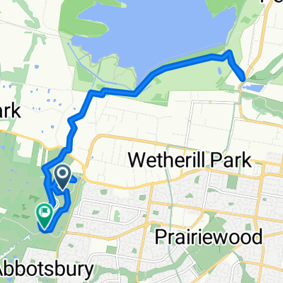
Cycling route in Horsley Park, New South Wales, Australia
Cycling route in Horsley Park, New South Wales, Australia
Cycling route in Horsley Park, New South Wales, Australia
Cycling route in Horsley Park, New South Wales, Australia