42.5km along River Torrens/Mike Turtur
- 42.5 km
- 196 m
- 194 m
- Glenelg East, South Australia, Australia

Discover a map of 79 cycling routes and bike trails near Glenelg East, created by our community.
Region portrait
Find the right bike route for you through Glenelg East, where we've got 79 cycle routes to explore. Most people get on their bikes to ride here in the months of February and June.
3,017 km
Tracked distance
79
Cycle routes
3,701
Population
Community
From our community
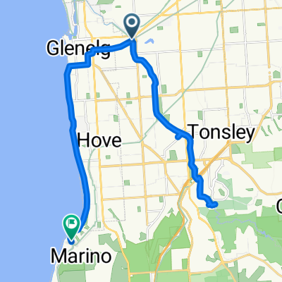
Cycling route in Glenelg East, South Australia, Australia
Cycling route in Glenelg East, South Australia, Australia
Cycling route in Glenelg East, South Australia, Australia
Cycling route in Glenelg East, South Australia, Australia