
Cycling day trip from Chang-hua to Nantou City
Customize your own route based on our template or discover how our community prefers to cycle from Chang-hua to Nantou City.
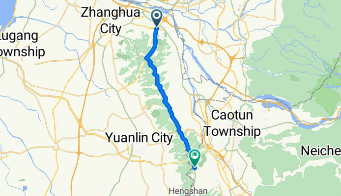
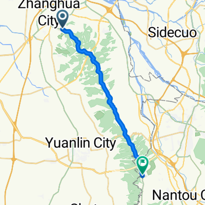
Route template
Chang-hua to Nantou City

- 2 h 38 min
- Duration
- 35.4 km
- Distance
- 542 m
- Ascent
- 405 m
- Descent
- 13.4 km/h
- Avg. speed
- 420 m
- Max. altitude
This ride takes you from Changhua, famous for its impressive Confucius Temple and the iconic Bagua Mountain Buddha, all the way to Nantou City—the lively heart of Taiwan’s only landlocked county. The route is just over 35 km and makes for a solid half-day adventure. Though the journey starts fairly flat, you’ll rack up over 500 meters of climbing as you gradually make your way into the lush, rolling hills that characterize Nantou.
Most of the ride is along access and quiet roads, so you can enjoy a peaceful escape from traffic. With almost all the route lacking a specifically identified surface, be prepared for some variety—expect mostly decent tarmac, but don’t be surprised if you hit stretches that feel a bit rough. The picturesque countryside views and the tranquility of rural Taiwan more than make up for it!
As you arrive in Nantou, take some time to explore the city’s food stalls or check out the historic Nantou Winery. It’s a great blend of local culture, nature, and a bit of a workout.
Community
Top users in this region


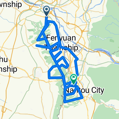
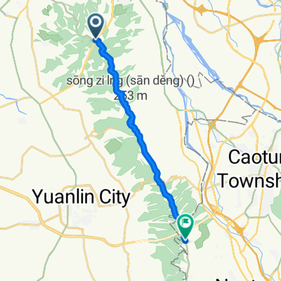
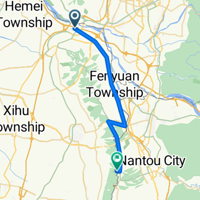
From our community
The best bike routes from Chang-hua to Nantou City


2017 出巡繞境
Cycling route in Chang-hua, Taiwan, Taiwan
- 108.9 km
- Distance
- 596 m
- Ascent
- 575 m
- Descent
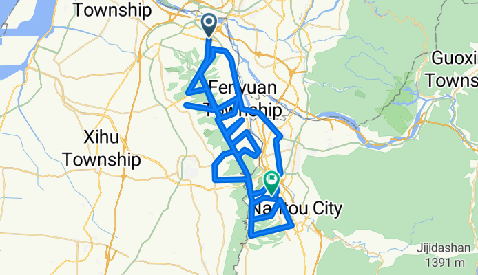
ROUTE 2
Cycling route in Chang-hua, Taiwan, Taiwan
- 121.8 km
- Distance
- 1,996 m
- Ascent
- 1,882 m
- Descent

Discover more routes
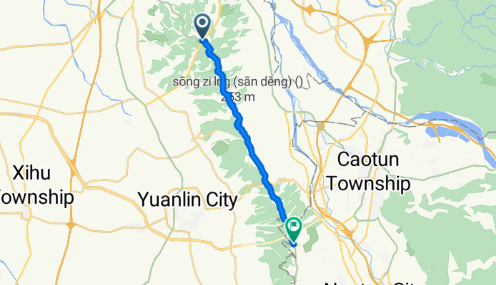
 HOME-->148鳳山寺
- Distance
- 34.5 km
- Ascent
- 433 m
- Descent
- 40 m
- Location
- Chang-hua, Taiwan, Taiwan
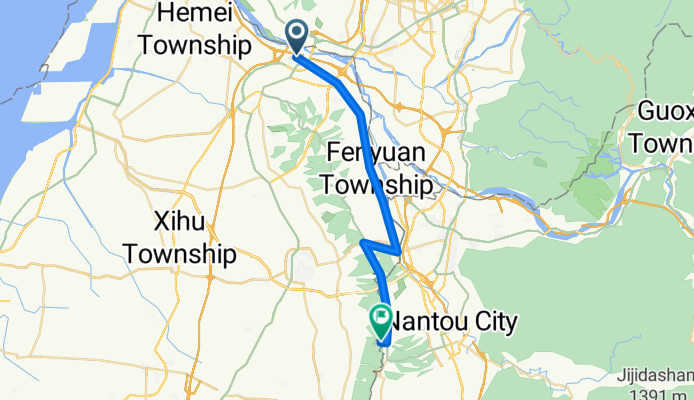
 卡打車肉腳團路線圖
- Distance
- 20.2 km
- Ascent
- 482 m
- Descent
- 120 m
- Location
- Chang-hua, Taiwan, Taiwan
 湖水坑&鳳山寺
- Distance
- 10.4 km
- Ascent
- 266 m
- Descent
- 6 m
- Location
- Chang-hua, Taiwan, Taiwan
 2017 出巡繞境
- Distance
- 108.9 km
- Ascent
- 596 m
- Descent
- 575 m
- Location
- Chang-hua, Taiwan, Taiwan
 ROUTE 2
- Distance
- 121.8 km
- Ascent
- 1,996 m
- Descent
- 1,882 m
- Location
- Chang-hua, Taiwan, Taiwan
 1111
1111- Distance
- 15.5 km
- Ascent
- 346 m
- Descent
- 225 m
- Location
- Chang-hua, Taiwan, Taiwan
 59 公里自我挑戰
- Distance
- 28.3 km
- Ascent
- 467 m
- Descent
- 75 m
- Location
- Chang-hua, Taiwan, Taiwan
 彰化縣田尾公花園
- Distance
- 22.9 km
- Ascent
- 34 m
- Descent
- 19 m
- Location
- Chang-hua, Taiwan, Taiwan
Routes from Chang-hua
Bikepacking from
Chang-hua to Tainan City
Cycling day trip from
Chang-hua to Puli
Cycling day trip from
Chang-hua to Chiayi City
Routes to Nantou City
Cycling day trip from
Taichung to Nantou City
By bicycle from
Zhongxing New Village to Nantou City