
By bicycle from Birmingham to Bartley Green
Customize your own route based on our template or discover how our community prefers to cycle from Birmingham to Bartley Green.
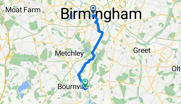
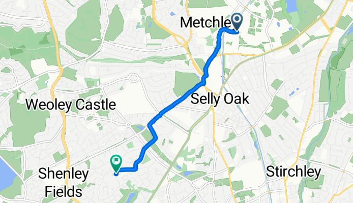
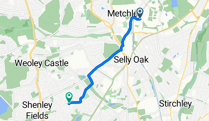
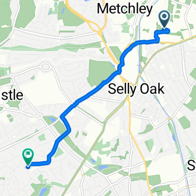
Route template
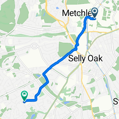
Birmingham to Bartley Green

- 54 min
- Duration
- 14.3 km
- Distance
- 127 m
- Ascent
- 89 m
- Descent
- 15.9 km/h
- Avg. speed
- 193 m
- Max. altitude
Get ready for a scenic spin from Birmingham’s vibrant city centre out to Bartley Green, a peaceful suburb to the southwest. This 14.3 km route promises a pleasant mix of landscapes—a good chunk (about 59%) follows dedicated cycleways, so you’ll enjoy a safe and relaxed ride most of the way.
You’ll start in Birmingham, famous for its canals and diverse food scene, and gradually swap the city buzz for greener vistas. The ride takes you through patches of quiet roads and some gravelly stretches (so skinny tyres might want to be a bit careful). There’s a moderate climb with a total ascent of around 127 meters, but nothing too dramatic.
Bartley Green is a residential area that sits close to the scenic Bartley Reservoir, a local spot popular with walkers and birdwatchers—well worth a quick detour. With mostly paved and asphalt surfaces, it’s a comfortable jaunt for most bikes. Perfect if you want to escape city life for a bit, without venturing too far from home!
Community
Top users in this region


From our community
The best bike routes from Birmingham to Bartley Green
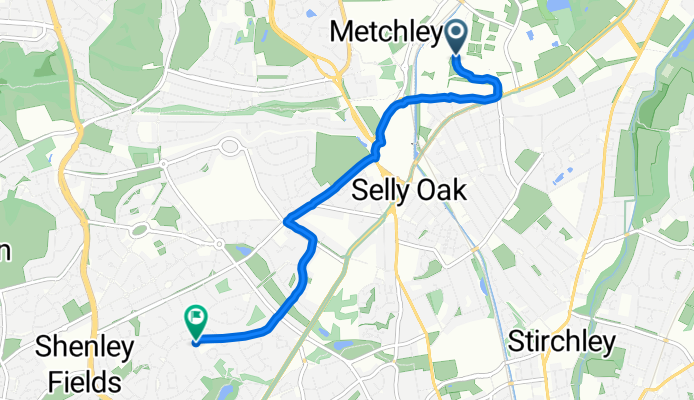
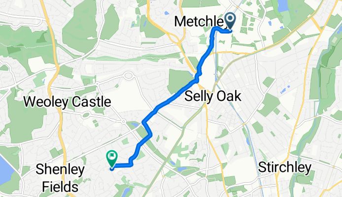
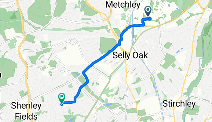
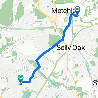
Kingston Row, Birmingham to Pershore Road, Birmingham
Cycling route in Birmingham, England, United Kingdom
- 8.2 km
- Distance
- 65 m
- Ascent
- 72 m
- Descent
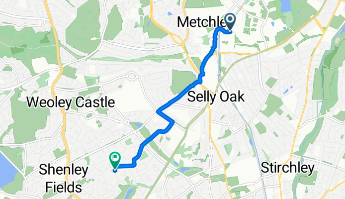
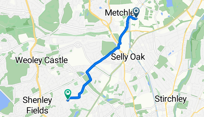
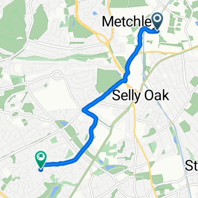
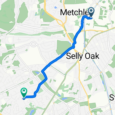
Westgate, Birmingham to St Denis Road, Birmingham
Cycling route in Birmingham, England, United Kingdom
- 5 km
- Distance
- 150 m
- Ascent
- 123 m
- Descent
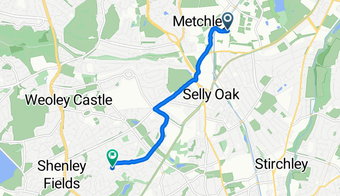
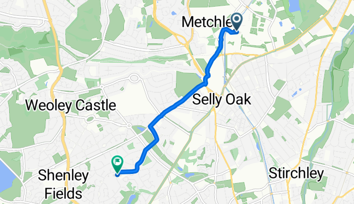
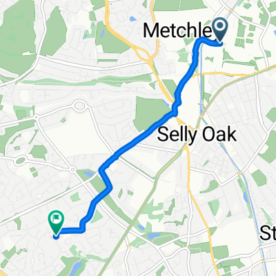
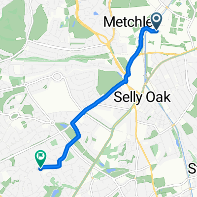
Ring Road South, Birmingham to St Denis Road, Birmingham
Cycling route in Birmingham, England, United Kingdom
- 4.3 km
- Distance
- 99 m
- Ascent
- 72 m
- Descent

Clent from uni
Cycling route in Birmingham, England, United Kingdom
- 36.3 km
- Distance
- 454 m
- Ascent
- 432 m
- Descent
Westgate, Birmingham to St Denis Road, Birmingham
Cycling route in Birmingham, England, United Kingdom
- 4.4 km
- Distance
- 163 m
- Ascent
- 134 m
- Descent
Ring Road South, Birmingham to St Denis Road, Birmingham
Cycling route in Birmingham, England, United Kingdom
- 4.1 km
- Distance
- 69 m
- Ascent
- 40 m
- Descent
Ring Road South, Birmingham to St Denis Road, Birmingham
Cycling route in Birmingham, England, United Kingdom
- 4.2 km
- Distance
- 107 m
- Ascent
- 80 m
- Descent

Ring Road South, Birmingham to St Denis Road, Birmingham
Cycling route in Birmingham, England, United Kingdom
- 4.1 km
- Distance
- 76 m
- Ascent
- 49 m
- Descent
Ring Road South, Birmingham to St Denis Road, Birmingham
Cycling route in Birmingham, England, United Kingdom
- 4.1 km
- Distance
- 78 m
- Ascent
- 59 m
- Descent
Ring Road South, Birmingham to St Denis Road, Birmingham
Cycling route in Birmingham, England, United Kingdom
- 4 km
- Distance
- 82 m
- Ascent
- 56 m
- Descent
Ring Road South, Birmingham to St Denis Road, Birmingham
Cycling route in Birmingham, England, United Kingdom
- 4.1 km
- Distance
- 75 m
- Ascent
- 49 m
- Descent
Ring Road South, Birmingham to St Denis Road, Birmingham
Cycling route in Birmingham, England, United Kingdom
- 4.3 km
- Distance
- 74 m
- Ascent
- 46 m
- Descent
Discover more routes
 Westgate, Birmingham to St Denis Road, Birmingham
- Distance
- 4.4 km
- Ascent
- 163 m
- Descent
- 134 m
- Location
- Birmingham, England, United Kingdom
 Ring Road South, Birmingham to St Denis Road, Birmingham
- Distance
- 4.1 km
- Ascent
- 69 m
- Descent
- 40 m
- Location
- Birmingham, England, United Kingdom
 Ring Road South, Birmingham to St Denis Road, Birmingham
- Distance
- 4.2 km
- Ascent
- 107 m
- Descent
- 80 m
- Location
- Birmingham, England, United Kingdom
 Ring Road South, Birmingham to St Denis Road, Birmingham
- Distance
- 4.1 km
- Ascent
- 76 m
- Descent
- 49 m
- Location
- Birmingham, England, United Kingdom
 Ring Road South, Birmingham to St Denis Road, Birmingham
- Distance
- 4.1 km
- Ascent
- 78 m
- Descent
- 59 m
- Location
- Birmingham, England, United Kingdom
 Ring Road South, Birmingham to St Denis Road, Birmingham
- Distance
- 4 km
- Ascent
- 82 m
- Descent
- 56 m
- Location
- Birmingham, England, United Kingdom
 Ring Road South, Birmingham to St Denis Road, Birmingham
- Distance
- 4.1 km
- Ascent
- 75 m
- Descent
- 49 m
- Location
- Birmingham, England, United Kingdom
 Ring Road South, Birmingham to St Denis Road, Birmingham
- Distance
- 4.3 km
- Ascent
- 74 m
- Descent
- 46 m
- Location
- Birmingham, England, United Kingdom
Routes from Birmingham
By bicycle from
Birmingham to Water Orton