


Alpine Bike No. 1 Day 9 Disentis- Andermatt
- 30 km
- 904 m
- 675 m
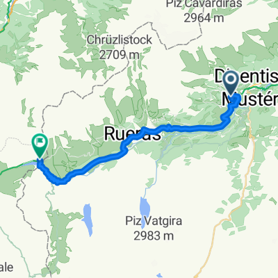
- Disentis, Grisons, Switzerland

Route template

Route: Disentis to Andermatt
Ready for an epic ride in the Swiss Alps? This route takes you from Disentis (a charming monastery village in the Surselva region) all the way to the stunning mountain town of Andermatt. You’ll cover about 36.5 km, and it’s no walk in the park—expect a hefty ascent of over 1,600 meters, and some thrilling descents as well.
A big highlight: you’ll pedal up and over the legendary Oberalp Pass, topping out at over 2,160 meters! Pack an extra layer, as it can get chilly up there, even in summer. Most of the route is on paved roads, but watch for a few gravel and natural sections — just enough to keep it interesting.
Disentis is famous for its Benedictine monastery and peaceful vibe, while Andermatt's valley views and crisp mountain air make it a perfect spot to catch your breath and refuel after the climb. A true alpine adventure for those who love a lung-busting challenge and spectacular scenery!
Community
From our community
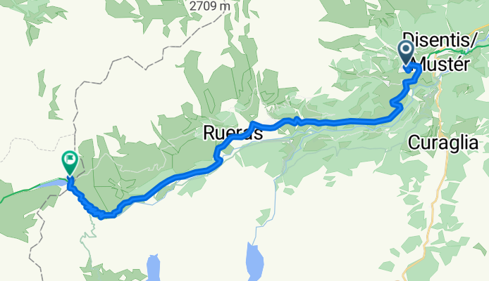
Cycling route in Disentis, Grisons, Switzerland
Cycling route in Disentis, Grisons, Switzerland
Cycling route in Disentis, Grisons, Switzerland
Cycling route in Disentis, Grisons, Switzerland
Cycling route in Disentis, Grisons, Switzerland
Cycling route in Disentis, Grisons, Switzerland
Cycling route in Disentis, Grisons, Switzerland
Cycling route in Disentis, Grisons, Switzerland
Cycling route in Disentis, Grisons, Switzerland
Cycling route in Disentis, Grisons, Switzerland
Cycling route in Disentis, Grisons, Switzerland
Cycling day trip from
Bikepacking from
Cycling day trip from
Cycling day trip from