
Cycling day trip from Pfarrkirchen im Mühlkreis to Schärding
Customize your own route based on our template or discover how our community prefers to cycle from Pfarrkirchen im Mühlkreis to Schärding.
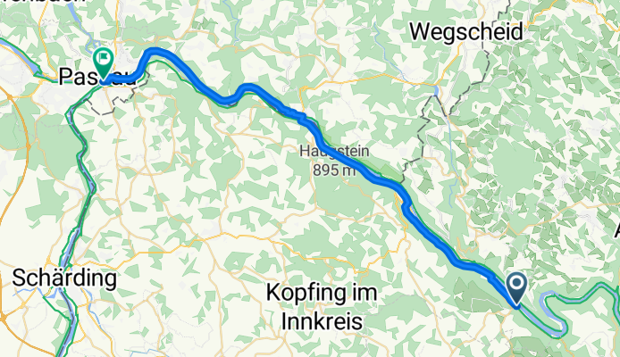
Route template
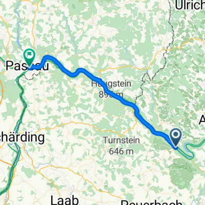
Pfarrkirchen im Mühlkreis to Schärding
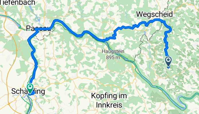
- 4 h 24 min
- Duration
- 67 km
- Distance
- 902 m
- Ascent
- 1,405 m
- Descent
- 15.2 km/h
- Avg. speed
- 872 m
- Max. altitude
Set out from the charming hilltop village of Pfarrkirchen im Mühlkreis, known for its sweeping views over the Danube valley and gentle rural vibe. This 67 km ride is a real treat for anyone who likes a bit of up-and-down—expect nearly 900 meters of climbing, but even more descent as you make your way westward towards the beautiful Baroque town of Schärding on the Inn river.
Much of your route sticks to quiet country roads, winding through fields, forest patches, and little Upper Austrian villages. About half the ride is smooth asphalt, but be ready for some well-worn gravel sections too—a classic mix for adventuring in this region. There’s plenty of time to enjoy the landscapes (and maybe a bakery stop!) before you roll into the pastel-colored streets of Schärding, famous for its vibrant main square and riverside promenades.
All in all, it’s a ride packed with rural charm, rolling hills, and a rewarding finish in one of Austria’s prettiest small towns. Don’t forget to check out the local cafes when you get to Schärding—you’ve earned it!
Community
Top users in this region


From our community
The best bike routes from Pfarrkirchen im Mühlkreis to Schärding

Sauwald-Panoramastrasse
Cycling route in Pfarrkirchen im Mühlkreis, Upper Austria, Austria
- 33.1 km
- Distance
- 516 m
- Ascent
- 532 m
- Descent
Passau-Schlögen/Hailbach 6.9.2021
Cycling route in Pfarrkirchen im Mühlkreis, Upper Austria, Austria
- 43.6 km
- Distance
- 181 m
- Ascent
- 159 m
- Descent
Sauwald-Panoramastraße
Cycling route in Pfarrkirchen im Mühlkreis, Upper Austria, Austria
- 41.2 km
- Distance
- 650 m
- Ascent
- 529 m
- Descent
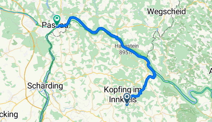
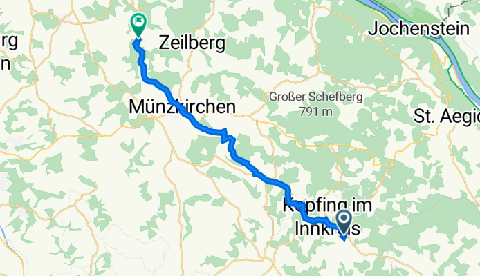
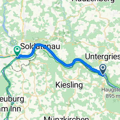
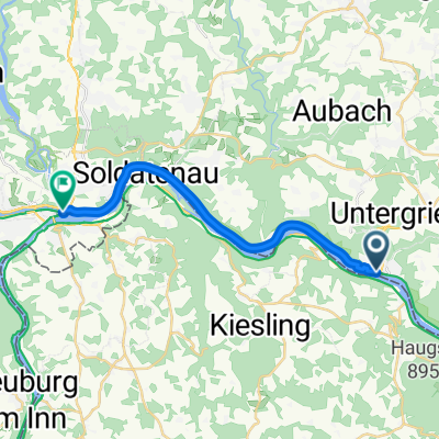
Route nach Kopfing im Innkreis
Cycling route in Pfarrkirchen im Mühlkreis, Upper Austria, Austria
- 42.4 km
- Distance
- 596 m
- Ascent
- 858 m
- Descent

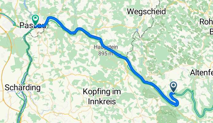
Pfarrkirchen im Mühlkreis - Schärding
Cycling route in Pfarrkirchen im Mühlkreis, Upper Austria, Austria
- 17.9 km
- Distance
- 98 m
- Ascent
- 117 m
- Descent
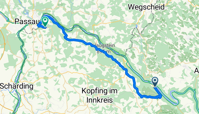
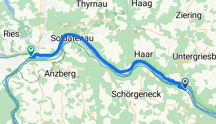
Pfarrkirchen im Mühlkreis - Schärding
Cycling route in Pfarrkirchen im Mühlkreis, Upper Austria, Austria
- 37.1 km
- Distance
- 541 m
- Ascent
- 596 m
- Descent
Obernzell-Passau
Cycling route in Pfarrkirchen im Mühlkreis, Upper Austria, Austria
- 15.1 km
- Distance
- 67 m
- Ascent
- 44 m
- Descent
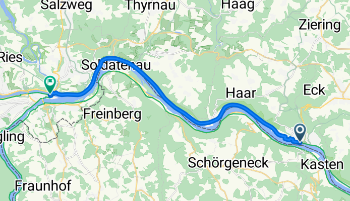
Pfarrkirchen - Schärding
Cycling route in Pfarrkirchen im Mühlkreis, Upper Austria, Austria
- 24.1 km
- Distance
- 385 m
- Ascent
- 373 m
- Descent
Überschall-Route
Cycling route in Pfarrkirchen im Mühlkreis, Upper Austria, Austria
- 10.4 km
- Distance
- 47 m
- Ascent
- 39 m
- Descent
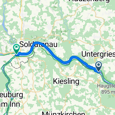
Pfarrkirchen im Mühlkreis - Schärding
Cycling route in Pfarrkirchen im Mühlkreis, Upper Austria, Austria
- 17.8 km
- Distance
- 95 m
- Ascent
- 117 m
- Descent
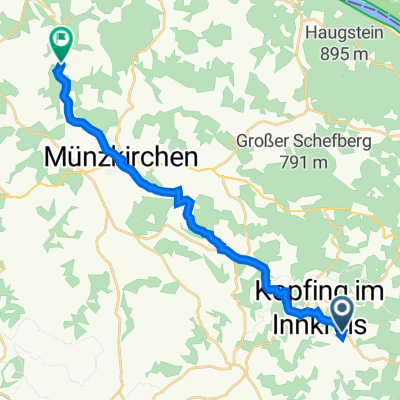
Rasdorf 44, Kopfing im Innkreis nach Kösslarn 25, Esternberg
Cycling route in Pfarrkirchen im Mühlkreis, Upper Austria, Austria
- 15.7 km
- Distance
- 238 m
- Ascent
- 389 m
- Descent
Marktplatz, Obernzell nach Schrottgasse, Passau
Cycling route in Pfarrkirchen im Mühlkreis, Upper Austria, Austria
- 16.5 km
- Distance
- 60 m
- Ascent
- 48 m
- Descent
Discover more routes
 Pfarrkirchen im Mühlkreis - Schärding
- Distance
- 17.9 km
- Ascent
- 98 m
- Descent
- 117 m
- Location
- Pfarrkirchen im Mühlkreis, Upper Austria, Austria
 Pfarrkirchen im Mühlkreis - Schärding
- Distance
- 37.1 km
- Ascent
- 541 m
- Descent
- 596 m
- Location
- Pfarrkirchen im Mühlkreis, Upper Austria, Austria
 Obernzell-Passau
- Distance
- 15.1 km
- Ascent
- 67 m
- Descent
- 44 m
- Location
- Pfarrkirchen im Mühlkreis, Upper Austria, Austria
 Pfarrkirchen - Schärding
- Distance
- 24.1 km
- Ascent
- 385 m
- Descent
- 373 m
- Location
- Pfarrkirchen im Mühlkreis, Upper Austria, Austria
 Überschall-Route
- Distance
- 10.4 km
- Ascent
- 47 m
- Descent
- 39 m
- Location
- Pfarrkirchen im Mühlkreis, Upper Austria, Austria
 Pfarrkirchen im Mühlkreis - Schärding
- Distance
- 17.8 km
- Ascent
- 95 m
- Descent
- 117 m
- Location
- Pfarrkirchen im Mühlkreis, Upper Austria, Austria
 Rasdorf 44, Kopfing im Innkreis nach Kösslarn 25, Esternberg
- Distance
- 15.7 km
- Ascent
- 238 m
- Descent
- 389 m
- Location
- Pfarrkirchen im Mühlkreis, Upper Austria, Austria
 Marktplatz, Obernzell nach Schrottgasse, Passau
- Distance
- 16.5 km
- Ascent
- 60 m
- Descent
- 48 m
- Location
- Pfarrkirchen im Mühlkreis, Upper Austria, Austria
Routes from Pfarrkirchen im Mühlkreis
Cycling day trip from
Pfarrkirchen im Mühlkreis to Linz
Cycling day trip from
Pfarrkirchen im Mühlkreis to Kleinzell im Mühlkreis
By bicycle from
Pfarrkirchen im Mühlkreis to Atzesberg
Routes to Schärding
Bikepacking from
Regensburg to Schärding
Bikepacking from
Krimml to Schärding
Cycling day trip from
Salzburg to Schärding
Cycling day trip from
Bad Füssing to Schärding
By bicycle from
Passau to Schärding
By bicycle from
Neuburg am Inn to Schärding