
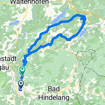
Route template
Sonthofen to Burgberg

- 12 min
- Duration
- 3.3 km
- Distance
- 35 m
- Ascent
- 13 m
- Descent
- 16.3 km/h
- Avg. speed
- 777 m
- Max. altitude
This short ride takes you from the lively town of Sonthofen up to the charming village of Burgberg, covering just over 3.3 kilometers—perfect for an easy spin or a relaxed outing with friends. You'll mostly be on quiet roads and smooth cycleways, so it's a pleasant experience whether you're on a road bike or a city cruiser.
Starting in Sonthofen—the southernmost town in Germany—you’ll find yourself surrounded by stunning Allgäu mountain views and a friendly, laid-back vibe. As you pedal north, a gentle ascent brings you closer to the foothills. The route climbs gradually, so expect only around 35 meters of elevation gain—nothing too taxing, but enough to get your legs moving.
Arriving in Burgberg, you’re greeted by classic Bavarian scenery and maybe even the temptation of a local café for a post-ride treat. With mostly paved and asphalt surfaces and very little traffic, this is a great route for new cyclists or anyone looking to enjoy the scenery of the Oberallgäu region without any stress.
Community
Top users in this region


From our community
The best bike routes from Sonthofen to Burgberg

Mein erster Alpenpass
Cycling route in Sonthofen, Bavaria, Germany
- 5.8 km
- Distance
- 308 m
- Ascent
- 35 m
- Descent

Elsa-Brandström-Straße 24, Sonthofen nach Winkel 18, Sonthofen
Cycling route in Sonthofen, Bavaria, Germany
- 8.8 km
- Distance
- 440 m
- Ascent
- 454 m
- Descent

D Sonthofen - Oberjoch
Cycling route in Sonthofen, Bavaria, Germany
- 15.4 km
- Distance
- 468 m
- Ascent
- 49 m
- Descent

Bad Hindelang nach Paßstraße 49, Bad Hindelang
Cycling route in Sonthofen, Bavaria, Germany
- 6.6 km
- Distance
- 419 m
- Ascent
- 762 m
- Descent

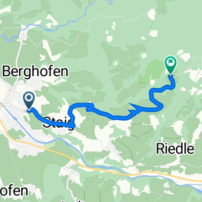
Gymi - Bildstöckle
Cycling route in Sonthofen, Bavaria, Germany
- 12.6 km
- Distance
- 623 m
- Ascent
- 100 m
- Descent


HHindelang
Cycling route in Sonthofen, Bavaria, Germany
- 6.7 km
- Distance
- 379 m
- Ascent
- 43 m
- Descent

Stöckle-Rennen
Cycling route in Sonthofen, Bavaria, Germany
- 6.4 km
- Distance
- 622 m
- Ascent
- 43 m
- Descent
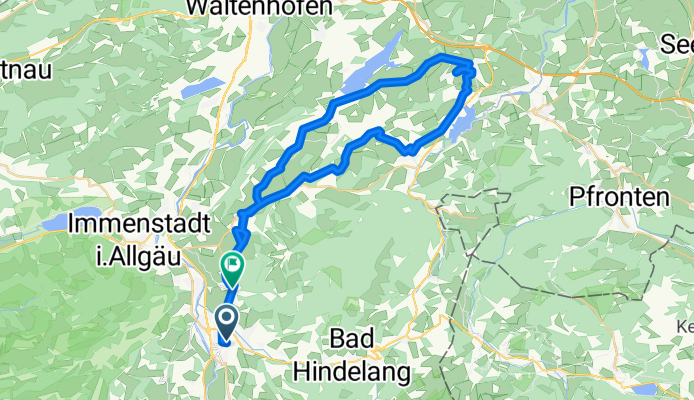
Rund um den Grünten
Cycling route in Sonthofen, Bavaria, Germany
- 51.3 km
- Distance
- 635 m
- Ascent
- 630 m
- Descent

Hindelang -> Oberjoch MTB
Cycling route in Sonthofen, Bavaria, Germany
- 4 km
- Distance
- 330 m
- Ascent
- 16 m
- Descent
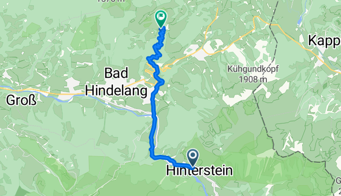
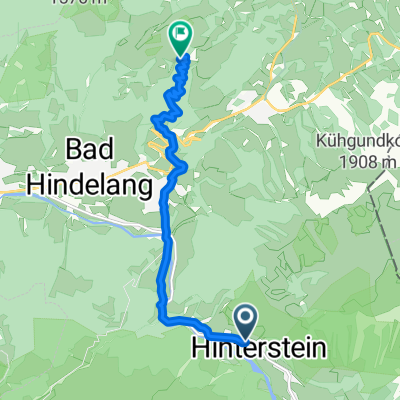
Von Hinterstein bis Bad Hindelang
Cycling route in Sonthofen, Bavaria, Germany
- 8.5 km
- Distance
- 718 m
- Ascent
- 103 m
- Descent
Discover more routes
 Gymi - Bildstöckle
- Distance
- 12.6 km
- Ascent
- 623 m
- Descent
- 100 m
- Location
- Sonthofen, Bavaria, Germany
 RR120 TT
- Distance
- 4.7 km
- Ascent
- 465 m
- Descent
- 0 m
- Location
- Sonthofen, Bavaria, Germany
 Jochstraße
- Distance
- 5.8 km
- Ascent
- 426 m
- Descent
- 145 m
- Location
- Sonthofen, Bavaria, Germany
 HHindelang
- Distance
- 6.7 km
- Ascent
- 379 m
- Descent
- 43 m
- Location
- Sonthofen, Bavaria, Germany
 Stöckle-Rennen
- Distance
- 6.4 km
- Ascent
- 622 m
- Descent
- 43 m
- Location
- Sonthofen, Bavaria, Germany
 Rund um den Grünten
- Distance
- 51.3 km
- Ascent
- 635 m
- Descent
- 630 m
- Location
- Sonthofen, Bavaria, Germany
 Hindelang -> Oberjoch MTB
- Distance
- 4 km
- Ascent
- 330 m
- Descent
- 16 m
- Location
- Sonthofen, Bavaria, Germany
 Von Hinterstein bis Bad Hindelang
- Distance
- 8.5 km
- Ascent
- 718 m
- Descent
- 103 m
- Location
- Sonthofen, Bavaria, Germany
Routes from Sonthofen
Quick ride by bicycle from
Sonthofen to Oberstdorf