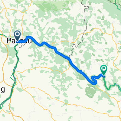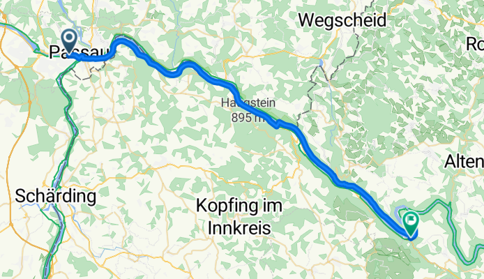


Tag 1 Passau - Obermühl
- 50.2 km
- 166 m
- 182 m
- Passau, Bavaria, Germany

Route template

Set off from Passau, the “City of Three Rivers,” where the Danube, Inn, and Ilz converge—and a perfect spot to fuel up with some strong Austrian coffee before heading out. This ride takes you southeast through rolling Bavarian countryside, crossing into Austria, so passport in your jersey pocket isn’t the worst idea.
You’ll cover a good 59 km with a solid 1,200 meters of climbing—so bring your climbing legs and be ready for panoramic views as you ascend to almost 772 meters elevation. The route is pleasantly peaceful, winding mostly along quiet roads and scenic paths, with a few gravel stretches to keep things interesting.
Your destination is Atzesberg, a small village perched on a ridge, known for its tranquil landscape and sweeping vistas of the Alps in the distance. Not a bad spot for a post-ride breather! Keep your camera handy for green meadows, charming farmhouses, and maybe even a cheeky goat photobomb. Happy pedaling!
Community
From our community
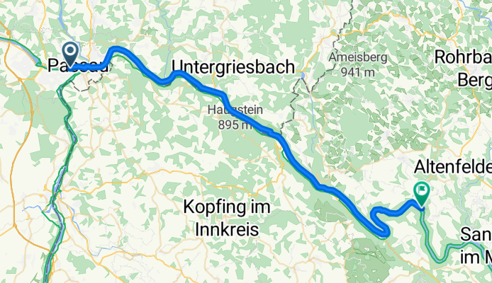
Cycling route in Passau, Bavaria, Germany
Cycling route in Passau, Bavaria, Germany
Cycling route in Passau, Bavaria, Germany
Cycling route in Passau, Bavaria, Germany
Cycling route in Passau, Bavaria, Germany
Cycling route in Passau, Bavaria, Germany
Cycling route in Passau, Bavaria, Germany
Cycling route in Passau, Bavaria, Germany
Cycling route in Passau, Bavaria, Germany
Cycling day trip from
Cycling day trip from
By bicycle from
Cycling day trip from
By bicycle from