
By bicycle from Pankow to Gesundbrunnen
Customize your own route based on our template or discover how our community prefers to cycle from Pankow to Gesundbrunnen.
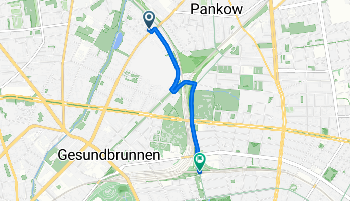
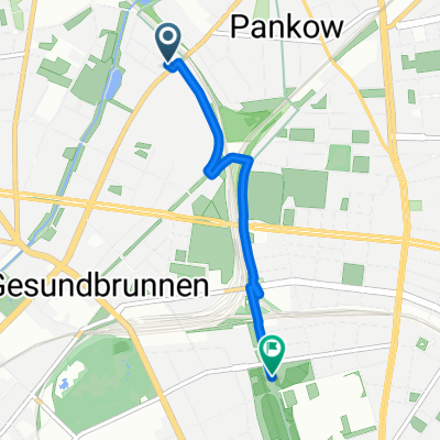
Route template
Pankow to Gesundbrunnen

- 12 min
- Duration
- 2.8 km
- Distance
- 8 m
- Ascent
- 5 m
- Descent
- 14.2 km/h
- Avg. speed
- 52 m
- Max. altitude
This short route takes you from lively Pankow down to Gesundbrunnen—perfect for an after-work spin or an easy weekend outing. You’ll mostly travel on quiet roads, making it a relaxed trip, with almost no busy streets to worry about. The path is fully paved, with a mix of smooth asphalt and a stretch of characterful Berlin cobblestones, so watch your grip in those sections!
Pankow is a green and family-friendly borough, known for its pretty parks and laid-back vibe. As you head south toward Gesundbrunnen, you’ll pass through residential neighborhoods before rolling into a district famous for its busy train station and the lively Humboldthain park (complete with World War II flak tower ruins and an epic view if you fancy a detour).
The ride itself is gentle, with only minimal elevation change—just enough to keep things interesting without breaking a sweat. It’s a great link between two authentic Berlin neighborhoods, offering a little slice of city life minus the traffic chaos. Hop on and enjoy!
Community
Top users in this region


From our community
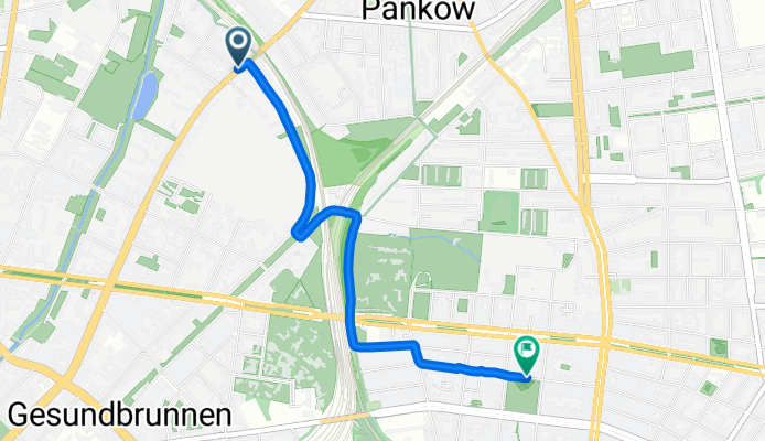
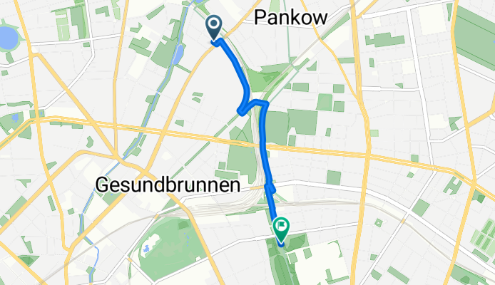
The best bike routes from Pankow to Gesundbrunnen

Vinetastraße 65, Berlin nach Badstraße 13–16, Berlin
Cycling route in Pankow, State of Berlin, Germany
- 17.6 km
- Distance
- 2,986 m
- Ascent
- 3,040 m
- Descent

Vinetastraße 65, Berlin nach Bornholmer Straße, Berlin
Cycling route in Pankow, State of Berlin, Germany
- 1.6 km
- Distance
- 13 m
- Ascent
- 10 m
- Descent

Neuruppin
Cycling route in Pankow, State of Berlin, Germany
- 204.9 km
- Distance
- 384 m
- Ascent
- 388 m
- Descent
Route to Mauerpark
Cycling route in Pankow, State of Berlin, Germany
- 2.8 km
- Distance
- 4 m
- Ascent
- 4 m
- Descent

Koloniestraße 66, Berlin to Badstraße 3, Berlin
Cycling route in Pankow, State of Berlin, Germany
- 3.7 km
- Distance
- 13 m
- Ascent
- 13 m
- Descent
Kattegatstraße, Berlin to Paul-Robeson-Straße, Berlin
Cycling route in Pankow, State of Berlin, Germany
- 2.8 km
- Distance
- 17 m
- Ascent
- 6 m
- Descent

Bernau Trainingsrunde
Cycling route in Pankow, State of Berlin, Germany
- 47.9 km
- Distance
- 60 m
- Ascent
- 55 m
- Descent

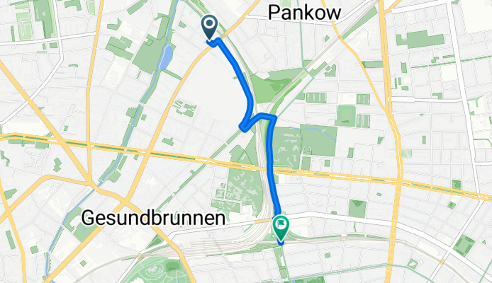
Route to Mauerpark
Cycling route in Pankow, State of Berlin, Germany
- 2.8 km
- Distance
- 4 m
- Ascent
- 4 m
- Descent

dark locations
Cycling route in Pankow, State of Berlin, Germany
- 67.4 km
- Distance
- 145 m
- Ascent
- 146 m
- Descent

Discover more routes
 Koloniestraße 66, Berlin to Badstraße 3, Berlin
- Distance
- 3.7 km
- Ascent
- 13 m
- Descent
- 13 m
- Location
- Pankow, State of Berlin, Germany
 Kattegatstraße, Berlin to Paul-Robeson-Straße, Berlin
- Distance
- 2.8 km
- Ascent
- 17 m
- Descent
- 6 m
- Location
- Pankow, State of Berlin, Germany
 Bernau Trainingsrunde
- Distance
- 47.9 km
- Ascent
- 60 m
- Descent
- 55 m
- Location
- Pankow, State of Berlin, Germany
 Moderate Route
- Distance
- 4.6 km
- Ascent
- 65 m
- Descent
- 101 m
- Location
- Pankow, State of Berlin, Germany
 Route in Berlin
- Distance
- 3.1 km
- Ascent
- 4 m
- Descent
- 4 m
- Location
- Pankow, State of Berlin, Germany
 Route to Mauerpark
- Distance
- 2.8 km
- Ascent
- 4 m
- Descent
- 4 m
- Location
- Pankow, State of Berlin, Germany
 dark locations
- Distance
- 67.4 km
- Ascent
- 145 m
- Descent
- 146 m
- Location
- Pankow, State of Berlin, Germany
 Recovered Route
- Distance
- 2.8 km
- Ascent
- 67 m
- Descent
- 17 m
- Location
- Pankow, State of Berlin, Germany
Routes from Pankow
By bicycle from
Pankow to Wittenau
By bicycle from
Pankow to Reinickendorf
Routes to Gesundbrunnen
By bicycle from
Hansaviertel to Gesundbrunnen
By bicycle from
Berlin Schöneberg to Gesundbrunnen