
Quick ride by bicycle from Mariendorf to Tempelhof
Customize your own route based on our template or discover how our community prefers to cycle from Mariendorf to Tempelhof.
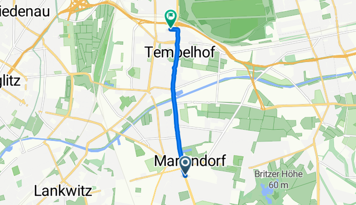
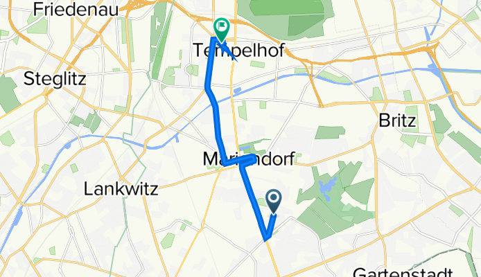
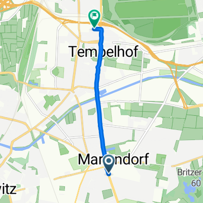
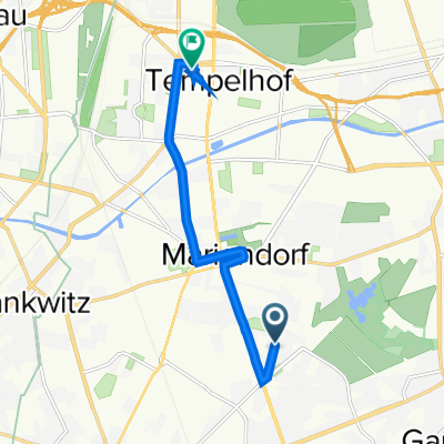
Route template
Mariendorf to Tempelhof
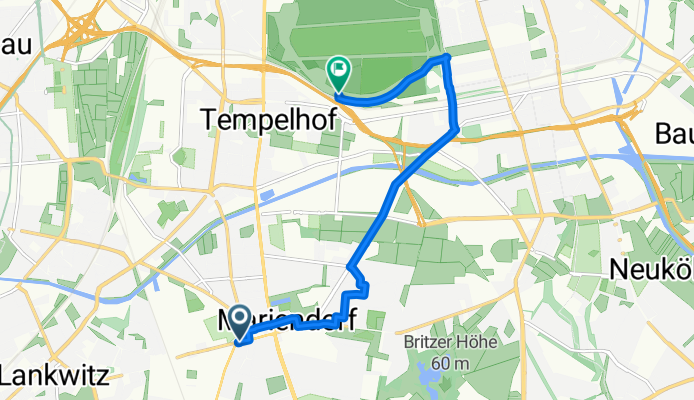
- 34 min
- Duration
- 7.6 km
- Distance
- 30 m
- Ascent
- 35 m
- Descent
- 13.5 km/h
- Avg. speed
- 54 m
- Max. altitude
Hop on your bike in Mariendorf—a relaxed, residential part of southern Berlin known for its leafy streets and family vibe—and you’re off on a 7.6 km jaunt north toward Tempelhof! Expect a super approachable ride: the path is nice and flat, with just a gentle 30m rise and fall along the way, making it a good choice for all fitness levels.
You’ll spend most of your time (over half the route!) riding on dedicated cycleways, which really takes the stress out of navigating city streets. The surfaces are smooth and well-maintained—mostly asphalt and paving stones, with just a hint of concrete, so those wheels keep rolling without a hitch.
As you pedal closer to Tempelhof, you’ll pass through a mix of tranquil neighborhoods and quiet roads. Your destination, Tempelhof, is famous for its iconic former airport—a sprawling public park that hosts everything from kite fliers to outdoor barbecues. If you’ve got some time, grab a coffee and go for a spin around Tempelhofer Feld for the perfect end to your ride!
Community
Top users in this region


From our community
The best bike routes from Mariendorf to Tempelhof


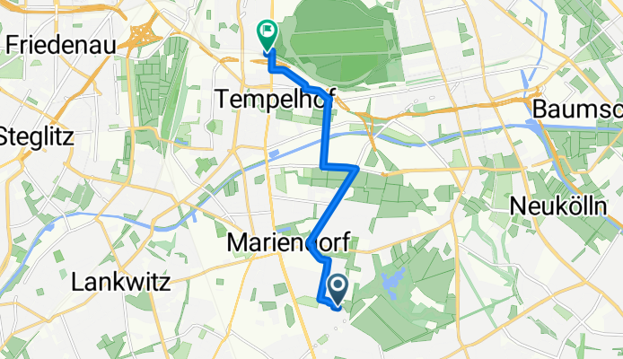
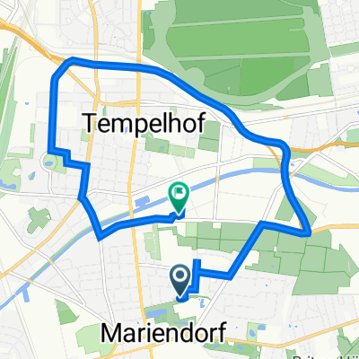
Im Marienpark 31, Berlin nach Bambachstraße 3, Berlin
Cycling route in Mariendorf, State of Berlin, Germany
- 10 km
- Distance
- 53 m
- Ascent
- 43 m
- Descent
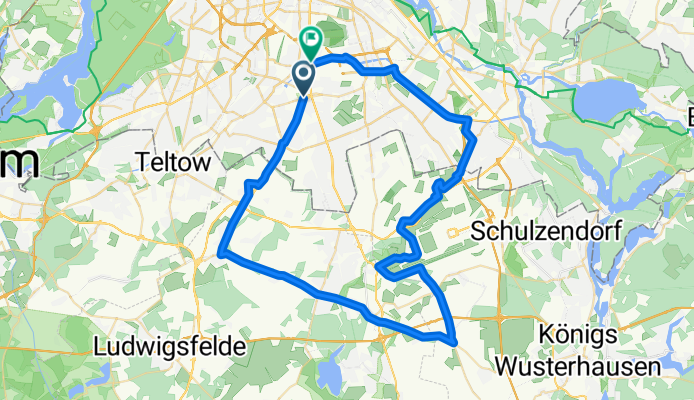
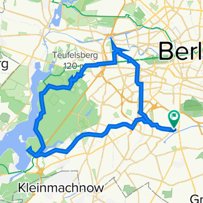
2-stunden runde
Cycling route in Mariendorf, State of Berlin, Germany
- 61.1 km
- Distance
- 88 m
- Ascent
- 91 m
- Descent
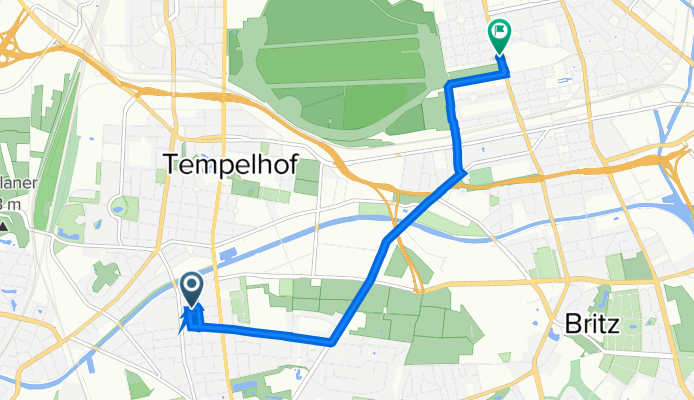
Körtingstraße, Berlin nach Ringbahnstraße, Berlin
Cycling route in Mariendorf, State of Berlin, Germany
- 4.7 km
- Distance
- 51 m
- Ascent
- 3 m
- Descent
Großbeerenstraße, Berlin nach Ringbahnstraße, Berlin
Cycling route in Mariendorf, State of Berlin, Germany
- 5.5 km
- Distance
- 10 m
- Ascent
- 13 m
- Descent
Mariendorfer Damm, Berlin nach Ringbahnstraße, Berlin
Cycling route in Mariendorf, State of Berlin, Germany
- 4 km
- Distance
- 13 m
- Ascent
- 10 m
- Descent
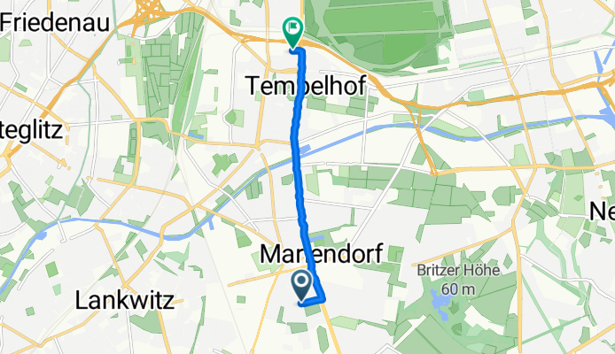
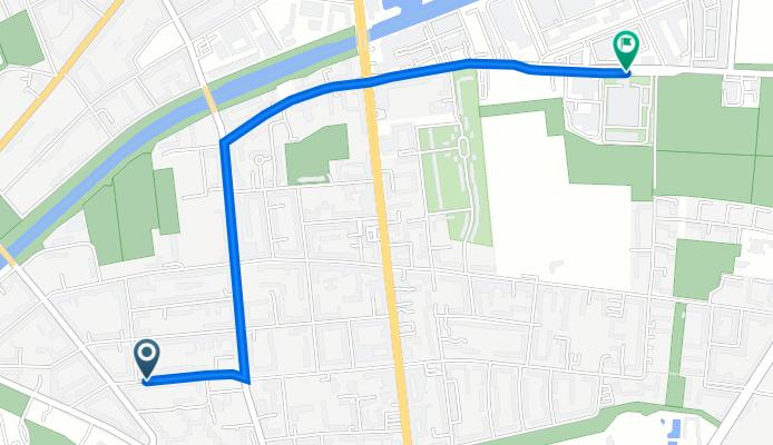
Prühßstraße 87, Berlin nach Volkmarstraße 19, Berlin
Cycling route in Mariendorf, State of Berlin, Germany
- 10.5 km
- Distance
- 32 m
- Ascent
- 38 m
- Descent
Äneasstraße 12, Berlin nach Felixstraße 41, Berlin
Cycling route in Mariendorf, State of Berlin, Germany
- 100.4 km
- Distance
- 328 m
- Ascent
- 331 m
- Descent
Furkastraße 57, Berlin nach Schönburgstraße 5, Berlin
Cycling route in Mariendorf, State of Berlin, Germany
- 7.1 km
- Distance
- 108 m
- Ascent
- 112 m
- Descent
Hochkalterweg 5, Berlin nach Hoeppnerstraße 1, Berlin
Cycling route in Mariendorf, State of Berlin, Germany
- 6.7 km
- Distance
- 13 m
- Ascent
- 14 m
- Descent
Markgrafenstraße 5, Berlin nach U Leinestraße, Berlin
Cycling route in Mariendorf, State of Berlin, Germany
- 6.6 km
- Distance
- 51 m
- Ascent
- 36 m
- Descent
Kaiserstraße 9,Berlin nach Ullsteinstraße 71–81, Berlin
Cycling route in Mariendorf, State of Berlin, Germany
- 2.1 km
- Distance
- 8 m
- Ascent
- 12 m
- Descent
Discover more routes
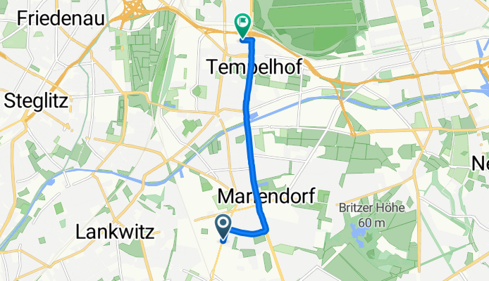
 Mariendorfer Damm, Berlin nach Ringbahnstraße, Berlin
- Distance
- 4 km
- Ascent
- 13 m
- Descent
- 10 m
- Location
- Mariendorf, State of Berlin, Germany
 3rd June
- Distance
- 47.1 km
- Ascent
- 284 m
- Descent
- 286 m
- Location
- Mariendorf, State of Berlin, Germany
 Prühßstraße 87, Berlin nach Volkmarstraße 19, Berlin
- Distance
- 10.5 km
- Ascent
- 32 m
- Descent
- 38 m
- Location
- Mariendorf, State of Berlin, Germany
 Äneasstraße 12, Berlin nach Felixstraße 41, Berlin
- Distance
- 100.4 km
- Ascent
- 328 m
- Descent
- 331 m
- Location
- Mariendorf, State of Berlin, Germany
 Furkastraße 57, Berlin nach Schönburgstraße 5, Berlin
- Distance
- 7.1 km
- Ascent
- 108 m
- Descent
- 112 m
- Location
- Mariendorf, State of Berlin, Germany
 Hochkalterweg 5, Berlin nach Hoeppnerstraße 1, Berlin
- Distance
- 6.7 km
- Ascent
- 13 m
- Descent
- 14 m
- Location
- Mariendorf, State of Berlin, Germany
 Markgrafenstraße 5, Berlin nach U Leinestraße, Berlin
- Distance
- 6.6 km
- Ascent
- 51 m
- Descent
- 36 m
- Location
- Mariendorf, State of Berlin, Germany
 Kaiserstraße 9,Berlin nach Ullsteinstraße 71–81, Berlin
- Distance
- 2.1 km
- Ascent
- 8 m
- Descent
- 12 m
- Location
- Mariendorf, State of Berlin, Germany
Routes to Tempelhof
Quick ride by bicycle from
Tiergarten to Tempelhof
Quick ride by bicycle from
Kreuzberg to Tempelhof