
Quick ride by bicycle from Lichtenrade to Marienfelde
Customize your own route based on our template or discover how our community prefers to cycle from Lichtenrade to Marienfelde.
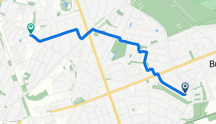
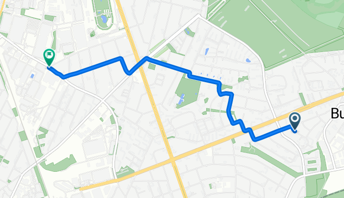
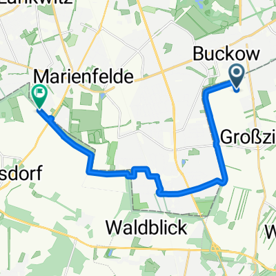
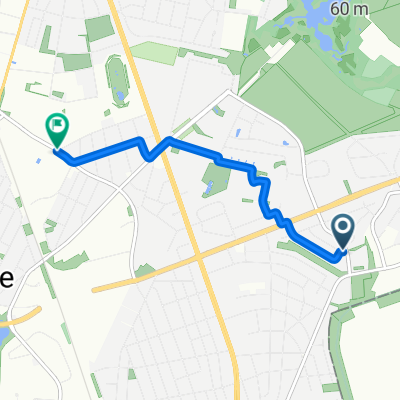
Route template
Lichtenrade to Marienfelde

- 42 min
- Duration
- 12.8 km
- Distance
- 13 m
- Ascent
- 14 m
- Descent
- 18.5 km/h
- Avg. speed
- 49 m
- Max. altitude
This ride takes you from the quiet, southern Berlin neighborhood of Lichtenrade to neighboring Marienfelde, both tucked away from the hustle and bustle of downtown. Lichtenrade is known for its mellow, almost village-like vibe, while Marienfelde has an interesting history—it was home to a refugee camp during the Cold War and today is a blend of green spaces and industry.
The route itself is about 12.8 km long and super accessible, with almost the entire way paved (mostly smooth asphalt). You’ll wind along peaceful roads and paths—perfect for an easy spin, with almost no busy streets to worry about. Elevation changes are barely noticeable, so it’s great whether you’re rolling on a city bike or something speedier.
You’ll take in quiet residential streets, pass by some parks, and maybe even spot the old Marienfelde manor house near your destination. All in all, it’s a relaxed ride ideal for a weekend cruise or a low-key commute.
Community
Top users in this region


From our community
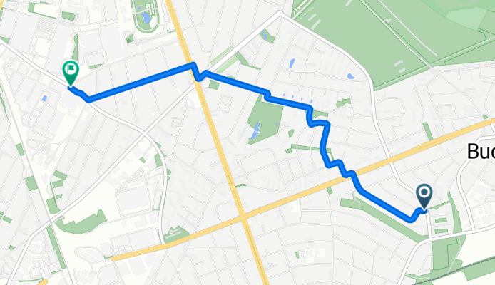
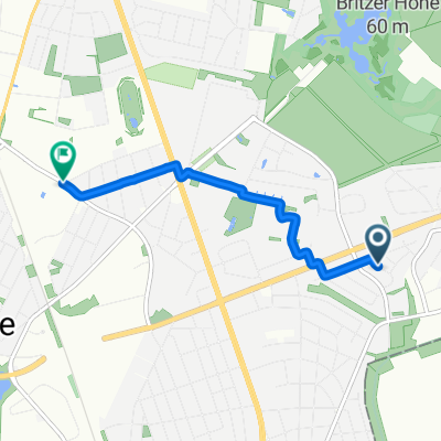
The best bike routes from Lichtenrade to Marienfelde

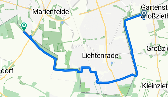
Berliner Süden - Gipfeltour
Cycling route in Lichtenrade, State of Berlin, Germany
- 51.1 km
- Distance
- 132 m
- Ascent
- 130 m
- Descent

Hhh
Cycling route in Lichtenrade, State of Berlin, Germany
- 5.9 km
- Distance
- 0 m
- Ascent
- 0 m
- Descent
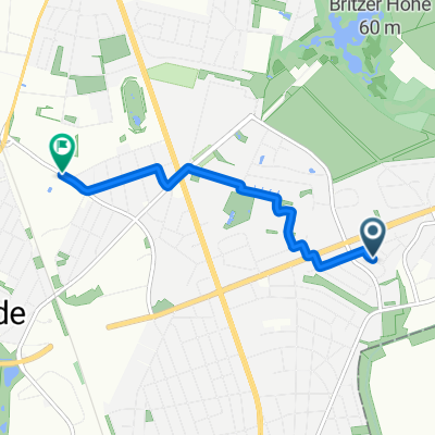
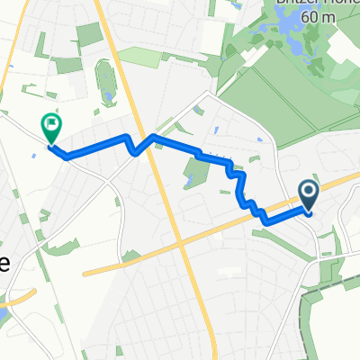
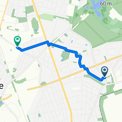
Drusenheimer Weg, Berlin nach Daimlerstraße, Berlin
Cycling route in Lichtenrade, State of Berlin, Germany
- 3.8 km
- Distance
- 21 m
- Ascent
- 19 m
- Descent

Kirchhainer Damm 25, Berlin nach Marienfelder Allee 99, Berlin
Cycling route in Lichtenrade, State of Berlin, Germany
- 5.9 km
- Distance
- 3 m
- Ascent
- 3 m
- Descent
Gernotweg, Schönefeld nach Waldsassener Straße, Großbeeren
Cycling route in Lichtenrade, State of Berlin, Germany
- 12.2 km
- Distance
- 19 m
- Ascent
- 13 m
- Descent

Drusenheimer Weg, Berlin nach Daimlerstraße, Berlin
Cycling route in Lichtenrade, State of Berlin, Germany
- 3.9 km
- Distance
- 10 m
- Ascent
- 11 m
- Descent
Drusenheimer Weg, Berlin nach Tempelhof-Schöneberg, Berlin
Cycling route in Lichtenrade, State of Berlin, Germany
- 4 km
- Distance
- 31 m
- Ascent
- 30 m
- Descent
Drusenheimer Weg, Berlin nach Daimlerstraße, Berlin
Cycling route in Lichtenrade, State of Berlin, Germany
- 4 km
- Distance
- 10 m
- Ascent
- 8 m
- Descent
Drusenheimer Weg, Berlin nach Daimlerstraße, Berlin
Cycling route in Lichtenrade, State of Berlin, Germany
- 3.8 km
- Distance
- 23 m
- Ascent
- 25 m
- Descent
Drusenheimer Weg, Berlin nach Daimlerstraße, Berlin
Cycling route in Lichtenrade, State of Berlin, Germany
- 3.9 km
- Distance
- 13 m
- Ascent
- 9 m
- Descent
Drusenheimer Weg, Berlin nach Daimlerstraße, Berlin
Cycling route in Lichtenrade, State of Berlin, Germany
- 3.9 km
- Distance
- 18 m
- Ascent
- 17 m
- Descent
Drusenheimer Weg, Berlin nach Daimlerstraße, Berlin
Cycling route in Lichtenrade, State of Berlin, Germany
- 3.8 km
- Distance
- 31 m
- Ascent
- 28 m
- Descent
Discover more routes
 Gernotweg, Schönefeld nach Waldsassener Straße, Großbeeren
- Distance
- 12.2 km
- Ascent
- 19 m
- Descent
- 13 m
- Location
- Lichtenrade, State of Berlin, Germany
 Drusenheimer Weg, Berlin nach Daimlerstraße, Berlin
- Distance
- 3.9 km
- Ascent
- 10 m
- Descent
- 11 m
- Location
- Lichtenrade, State of Berlin, Germany
 Drusenheimer Weg, Berlin nach Tempelhof-Schöneberg, Berlin
- Distance
- 4 km
- Ascent
- 31 m
- Descent
- 30 m
- Location
- Lichtenrade, State of Berlin, Germany
 Drusenheimer Weg, Berlin nach Daimlerstraße, Berlin
- Distance
- 4 km
- Ascent
- 10 m
- Descent
- 8 m
- Location
- Lichtenrade, State of Berlin, Germany
 Drusenheimer Weg, Berlin nach Daimlerstraße, Berlin
- Distance
- 3.8 km
- Ascent
- 23 m
- Descent
- 25 m
- Location
- Lichtenrade, State of Berlin, Germany
 Drusenheimer Weg, Berlin nach Daimlerstraße, Berlin
- Distance
- 3.9 km
- Ascent
- 13 m
- Descent
- 9 m
- Location
- Lichtenrade, State of Berlin, Germany
 Drusenheimer Weg, Berlin nach Daimlerstraße, Berlin
- Distance
- 3.9 km
- Ascent
- 18 m
- Descent
- 17 m
- Location
- Lichtenrade, State of Berlin, Germany
 Drusenheimer Weg, Berlin nach Daimlerstraße, Berlin
- Distance
- 3.8 km
- Ascent
- 31 m
- Descent
- 28 m
- Location
- Lichtenrade, State of Berlin, Germany
Routes from Lichtenrade
Cycling day trip from
Lichtenrade to Rangsdorf