
By bicycle from Langenfeld to Leichlingen
Customize your own route based on our template or discover how our community prefers to cycle from Langenfeld to Leichlingen.
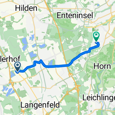
Route template
Langenfeld to Leichlingen

- 32 min
- Duration
- 9.5 km
- Distance
- 55 m
- Ascent
- 42 m
- Descent
- 17.8 km/h
- Avg. speed
- 95 m
- Max. altitude
Cycling Route: Langenfeld to Leichlingen
Ready for a leisurely ride through the Rhineland? This 9.5 km route takes you from Langenfeld—a lively town known for its vibrant festivals and beautiful parks—over to the cozy town of Leichlingen, often called the “Blütenstadt” for its fruit blossoms in spring.
You’ll pedal mostly on quiet roads and dedicated cycleways, making it a comfortable trip for riders of all levels. The path is mostly paved and asphalted, so you can expect a smooth journey with just a gentle climb (about 55 meters total ascent). Expect to see plenty of green spaces and peaceful surroundings along the way.
Once you roll into Leichlingen, take some time to enjoy the charming town center or stroll by the Wupper river. Whether you’re up for a quick coffee or just want to soak in some scenery, this little cycling adventure is a great way to link two gems of North Rhine-Westphalia!
Community
Top users in this region


From our community
The best bike routes from Langenfeld to Leichlingen

10.08.2013 08:29.51 on GPSies.com
Cycling route in Langenfeld, North Rhine-Westphalia, Germany
- 30 km
- Distance
- 145 m
- Ascent
- 134 m
- Descent

Furter Moor
Cycling route in Langenfeld, North Rhine-Westphalia, Germany
- 4.3 km
- Distance
- 35 m
- Ascent
- 0 m
- Descent

FEG zur Wasserburg
Cycling route in Langenfeld, North Rhine-Westphalia, Germany
- 8.8 km
- Distance
- 83 m
- Ascent
- 53 m
- Descent

Auftanken
Cycling route in Langenfeld, North Rhine-Westphalia, Germany
- 7.8 km
- Distance
- 74 m
- Ascent
- 39 m
- Descent
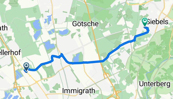
Hans-Böckler-Straße, Langenfeld (Rheinland) nach Uhlandstraße, Solingen
Cycling route in Langenfeld, North Rhine-Westphalia, Germany
- 8.7 km
- Distance
- 81 m
- Ascent
- 6 m
- Descent

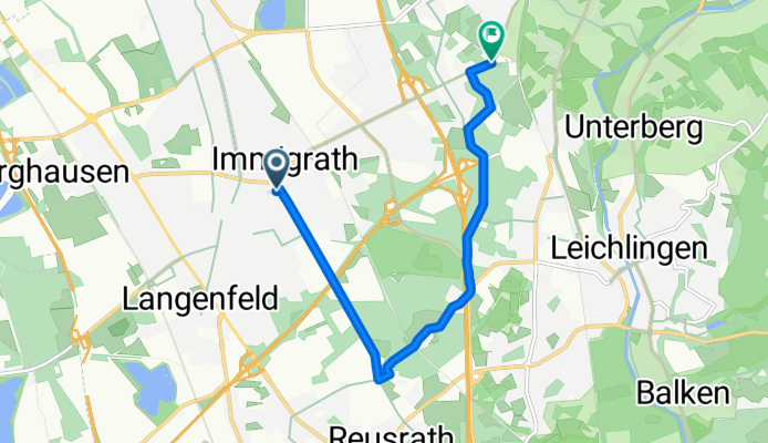
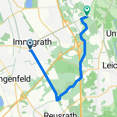
Segelflugplatz Wiescheid - Diepental Talsperre
Cycling route in Langenfeld, North Rhine-Westphalia, Germany
- 10.8 km
- Distance
- 119 m
- Ascent
- 77 m
- Descent

my first trip
Cycling route in Langenfeld, North Rhine-Westphalia, Germany
- 7.1 km
- Distance
- 69 m
- Ascent
- 60 m
- Descent
landhotel
Cycling route in Langenfeld, North Rhine-Westphalia, Germany
- 7.3 km
- Distance
- 67 m
- Ascent
- 33 m
- Descent

Lfeld-2010-11-21-Wietsche-Roder-Öl-SWeg-Orth-Höhe-Glüder50km-850HM
Cycling route in Langenfeld, North Rhine-Westphalia, Germany
- 16.5 km
- Distance
- 251 m
- Ascent
- 217 m
- Descent

Haus Graven
Cycling route in Langenfeld, North Rhine-Westphalia, Germany
- 7.9 km
- Distance
- 42 m
- Ascent
- 5 m
- Descent

Jahnstraße 101, Langenfeld (Rheinland) nach Marktstraße 20, Leichlingen (Rheinland)
Cycling route in Langenfeld, North Rhine-Westphalia, Germany
- 6.8 km
- Distance
- 46 m
- Ascent
- 36 m
- Descent

An der Mühle 2–12, Langenfeld (Rheinland) nach Gartenstraße 1B, Leichlingen (Rheinland)
Cycling route in Langenfeld, North Rhine-Westphalia, Germany
- 6.6 km
- Distance
- 29 m
- Ascent
- 22 m
- Descent
Discover more routes
 Hans-Böckler-Straße, Langenfeld (Rheinland) nach Uhlandstraße, Solingen
- Distance
- 8.7 km
- Ascent
- 81 m
- Descent
- 6 m
- Location
- Langenfeld, North Rhine-Westphalia, Germany
 Segelflugplatz Wiescheid - Diepental Talsperre
- Distance
- 10.8 km
- Ascent
- 119 m
- Descent
- 77 m
- Location
- Langenfeld, North Rhine-Westphalia, Germany
 my first trip
- Distance
- 7.1 km
- Ascent
- 69 m
- Descent
- 60 m
- Location
- Langenfeld, North Rhine-Westphalia, Germany
 landhotel
- Distance
- 7.3 km
- Ascent
- 67 m
- Descent
- 33 m
- Location
- Langenfeld, North Rhine-Westphalia, Germany
 Lfeld-2010-11-21-Wietsche-Roder-Öl-SWeg-Orth-Höhe-Glüder50km-850HM
- Distance
- 16.5 km
- Ascent
- 251 m
- Descent
- 217 m
- Location
- Langenfeld, North Rhine-Westphalia, Germany
 Haus Graven
- Distance
- 7.9 km
- Ascent
- 42 m
- Descent
- 5 m
- Location
- Langenfeld, North Rhine-Westphalia, Germany
 Jahnstraße 101, Langenfeld (Rheinland) nach Marktstraße 20, Leichlingen (Rheinland)
- Distance
- 6.8 km
- Ascent
- 46 m
- Descent
- 36 m
- Location
- Langenfeld, North Rhine-Westphalia, Germany
 An der Mühle 2–12, Langenfeld (Rheinland) nach Gartenstraße 1B, Leichlingen (Rheinland)
- Distance
- 6.6 km
- Ascent
- 29 m
- Descent
- 22 m
- Location
- Langenfeld, North Rhine-Westphalia, Germany
Routes from Langenfeld
Cycling day trip from
Langenfeld to Düsseldorf
By bicycle from
Langenfeld to Hilden
By bicycle from
Langenfeld to Leverkusen
Routes to Leichlingen
By bicycle from
Opladen to Leichlingen