
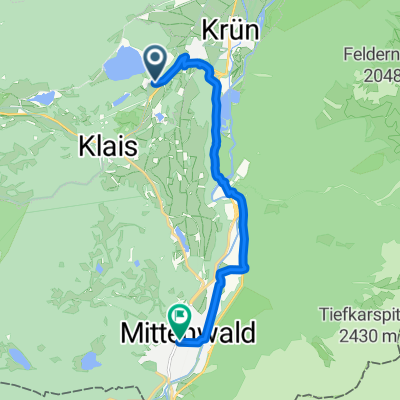
Quick ride by bicycle from Krün to Mittenwald
Customize your own route based on our template or discover how our community prefers to cycle from Krün to Mittenwald.
Route template
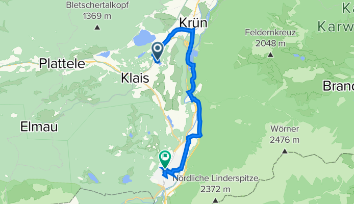
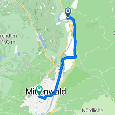
Krün to Mittenwald

- 53 min
- Duration
- 13.6 km
- Distance
- 222 m
- Ascent
- 170 m
- Descent
- 15.4 km/h
- Avg. speed
- 1,016 m
- Max. altitude
This scenic ride starts in the charming village of Krün, nestled in the Bavarian Alps. Krün is a popular gateway to incredible alpine landscapes, known for its tranquil lakes and classic Bavarian houses. The route to Mittenwald is about 13.6 km, mostly on quiet roads and some gentle gravel tracks—perfect for an easygoing day on the bike.
You'll enjoy rolling through lush meadows with the Karwendel mountains as your backdrop, and with just over 220 meters of ascent, there are a couple of gentle climbs to keep things interesting, but nothing too tough. Around 83% of the route is paved, and just a bit of gravel adds some variety.
Your destination, Mittenwald, is famous for its beautifully painted houses and long tradition of violin making. The town sits right at the foot of the Alps and is a fantastic spot for a post-ride stroll. Don’t forget to grab a coffee or a slice of cake in one of the cozy local cafés before heading back!
Community
Top users in this region

From our community
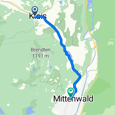
The best bike routes from Krün to Mittenwald

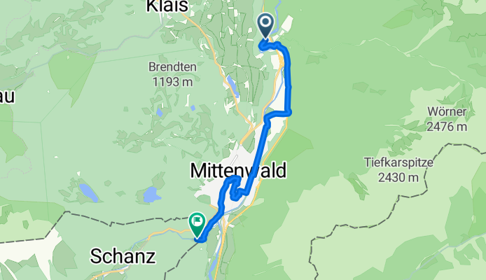
Walchensee bis Schloss Elm
Cycling route in Krün, Bavaria, Germany
- 34.6 km
- Distance
- 227 m
- Ascent
- 77 m
- Descent

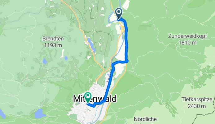
Isarhorn - Geisterklamm
Cycling route in Krün, Bavaria, Germany
- 8.7 km
- Distance
- 152 m
- Ascent
- 44 m
- Descent
Isarhorn - Geisterklamm
Cycling route in Krün, Bavaria, Germany
- 8.7 km
- Distance
- 185 m
- Ascent
- 60 m
- Descent

Rundweg Mittenwald - Estergebirge
Cycling route in Krün, Bavaria, Germany
- 70.9 km
- Distance
- 834 m
- Ascent
- 855 m
- Descent

Am Barmsee 17–19, Krün nach Dammkarstraße 3, Mittenwald
Cycling route in Krün, Bavaria, Germany
- 10 km
- Distance
- 106 m
- Ascent
- 85 m
- Descent


Am Tennsee 1, Krün nach Feldernstraße 8, Mittenwald
Cycling route in Krün, Bavaria, Germany
- 10.9 km
- Distance
- 122 m
- Ascent
- 105 m
- Descent
Am Horn, Mittenwald nach Matthias-Klotz-Straße, Mittenwald
Cycling route in Krün, Bavaria, Germany
- 5.5 km
- Distance
- 51 m
- Ascent
- 29 m
- Descent

Am Tennsee 4, Krün nach In Kranzbach, Krün
Cycling route in Krün, Bavaria, Germany
- 6.2 km
- Distance
- 164 m
- Ascent
- 35 m
- Descent

Elmauer Weg 2, Krün nach Schöttlkarstraße 3, Mittenwald
Cycling route in Krün, Bavaria, Germany
- 5.7 km
- Distance
- 72 m
- Ascent
- 101 m
- Descent

Karwendelstraße 10, Krün nach Kranzbach 1, Krün
Cycling route in Krün, Bavaria, Germany
- 9.2 km
- Distance
- 1,234 m
- Ascent
- 1,091 m
- Descent
Discover more routes
 Am Barmsee 17–19, Krün nach Dammkarstraße 3, Mittenwald
- Distance
- 10 km
- Ascent
- 106 m
- Descent
- 85 m
- Location
- Krün, Bavaria, Germany
 Elmau Mittenwald
- Distance
- 32.3 km
- Ascent
- 594 m
- Descent
- 587 m
- Location
- Krün, Bavaria, Germany
 Am Tennsee 1, Krün nach Feldernstraße 8, Mittenwald
- Distance
- 10.9 km
- Ascent
- 122 m
- Descent
- 105 m
- Location
- Krün, Bavaria, Germany
 Am Horn, Mittenwald nach Matthias-Klotz-Straße, Mittenwald
- Distance
- 5.5 km
- Ascent
- 51 m
- Descent
- 29 m
- Location
- Krün, Bavaria, Germany
 Am Tennsee 4, Krün nach In Kranzbach, Krün
- Distance
- 6.2 km
- Ascent
- 164 m
- Descent
- 35 m
- Location
- Krün, Bavaria, Germany
 Elmauer Weg 2, Krün nach Schöttlkarstraße 3, Mittenwald
- Distance
- 5.7 km
- Ascent
- 72 m
- Descent
- 101 m
- Location
- Krün, Bavaria, Germany
 kleine Tour
- Distance
- 13.7 km
- Ascent
- 270 m
- Descent
- 256 m
- Location
- Krün, Bavaria, Germany
 Karwendelstraße 10, Krün nach Kranzbach 1, Krün
- Distance
- 9.2 km
- Ascent
- 1,234 m
- Descent
- 1,091 m
- Location
- Krün, Bavaria, Germany
Routes to Mittenwald
Cycling day trip from
Garmisch-Partenkirchen to Mittenwald