


Bahnhofstraße 29–31, Kochel am See nach Urfeld 4, Kochel am See
- 9.7 km
- 944 m
- 740 m
- Kochel, Bavaria, Germany

Customize your own route based on our template or discover how our community prefers to cycle from Kochel to Schlehdorf.
Route template

This relaxed ride takes you from the lakeside village of Kochel to the peaceful hamlet of Schlehdorf, hugging the northern shore of the beautiful Kochelsee. At just over 8 km, it’s a perfect easy outing with only gentle climbs—ideal for families or a mellow spin.
You’ll start off in Kochel, famous for its stunning setting beneath the Bavarian Alps and the excellent Franz Marc Museum (worth a visit if you have time!). The route mainly follows quiet roads and wide paths, with a few stretches of asphalt and even some light gravel, so any bike with decent tires will do.
You’ll skirt the lake for gorgeous water views, with the mountains mirrored in the surface if the weather’s right. Approaching Schlehdorf, your endpoint, you can check out the peaceful Kloster Schlehdorf — a historic monastery set against a backdrop of Alpine peaks.
This route offers laid-back cycling, big views, and a great taste of Upper Bavaria’s laid-back charm. Pack a picnic or stop for coffee—the scenery’s worth lingering over!
Community
From our community
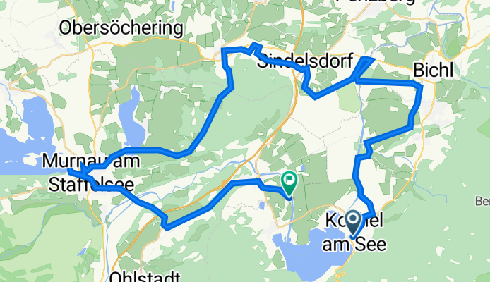
Cycling route in Kochel, Bavaria, Germany
Cycling route in Kochel, Bavaria, Germany
Cycling route in Kochel, Bavaria, Germany
Cycling route in Kochel, Bavaria, Germany
Cycling route in Kochel, Bavaria, Germany
Cycling route in Kochel, Bavaria, Germany


