
By bicycle from Karlsruhe to Rheinstetten
Customize your own route based on our template or discover how our community prefers to cycle from Karlsruhe to Rheinstetten.
Route template
Karlsruhe to Rheinstetten
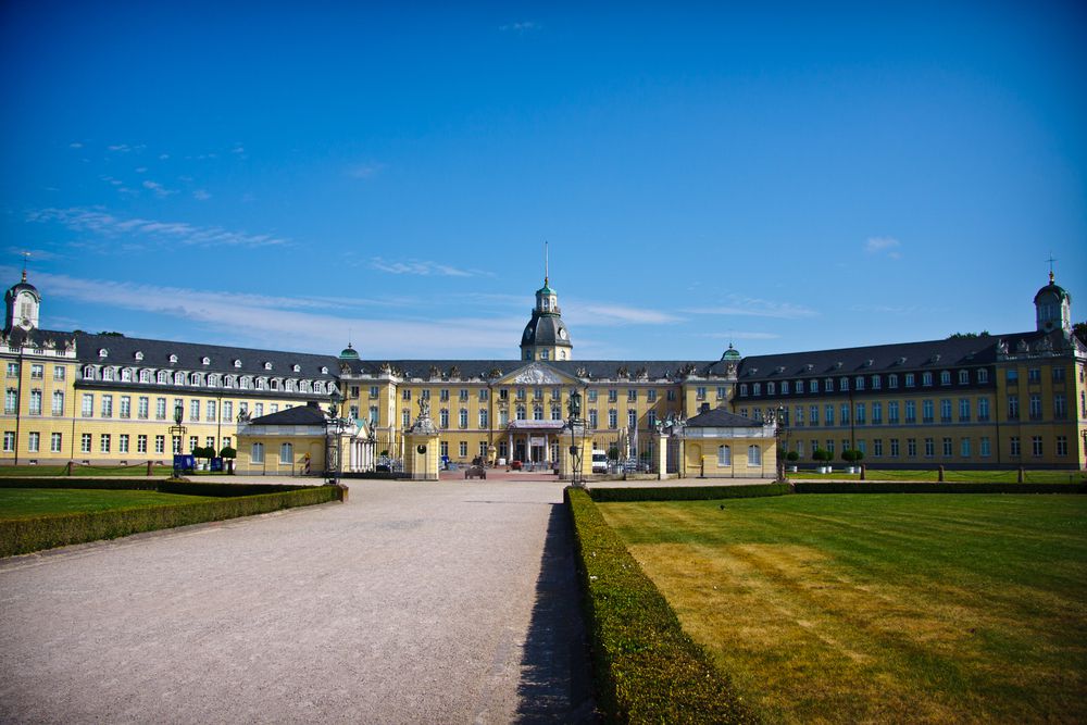
This relaxed ride takes you from vibrant Karlsruhe, known for its fan-shaped city layout and historic palace, down to the quieter town of Rheinstetten. Covering just over 11 km, most of your journey is on smooth, paved surfaces—perfect for city bikes or hybrids. You’ll mainly stick to designated cycleways and quiet roads, with plenty of opportunities to soak up some local scenery without much car traffic.
The route is delightfully flat with only slight inclines (barely 15 meters ascent), making it accessible for all fitness levels. As you roll south from Karlsruhe, you’ll pass green spaces and perhaps catch a glimpse of the Black Forest hills in the distance before arriving in Rheinstetten. Rheinstetten itself sits right by the Rhine and offers a laid-back vibe—great for a coffee stop or exploring small-town Baden-Württemberg life.
All in all, it’s an easy and scenic ride, perfect for a leisurely morning or afternoon escape from the city!
Community
Top users in this region
From our community
The best bike routes from Karlsruhe to Rheinstetten
SVK_Radtour_1
Cycling route in Karlsruhe, Baden-Wurttemberg, Germany
- 59.9 km
- Distance
- 312 m
- Ascent
- 309 m
- Descent
zum See 01
Cycling route in Karlsruhe, Baden-Wurttemberg, Germany
- 16.3 km
- Distance
- 27 m
- Ascent
- 39 m
- Descent
Rintheim - Epplesee (Rheinstetten)
Cycling route in Karlsruhe, Baden-Wurttemberg, Germany
- 12.5 km
- Distance
- 4 m
- Ascent
- 7 m
- Descent
KA HBF -> Epplesee
Cycling route in Karlsruhe, Baden-Wurttemberg, Germany
- 10 km
- Distance
- 30 m
- Ascent
- 38 m
- Descent
Zur Messe Karlsruhe
Cycling route in Karlsruhe, Baden-Wurttemberg, Germany
- 9.9 km
- Distance
- 14 m
- Ascent
- 18 m
- Descent
Durlach-Epplesee
Cycling route in Karlsruhe, Baden-Wurttemberg, Germany
- 13.5 km
- Distance
- 53 m
- Ascent
- 60 m
- Descent
Am Dechantsberg 8, Karlsruhe nach Hördtstraße 31, Karlsruhe
Cycling route in Karlsruhe, Baden-Wurttemberg, Germany
- 14.5 km
- Distance
- 71 m
- Ascent
- 151 m
- Descent
SVK_Radtour_1
Cycling route in Karlsruhe, Baden-Wurttemberg, Germany
- 59.9 km
- Distance
- 312 m
- Ascent
- 309 m
- Descent
Arbeit zurück 1
Cycling route in Karlsruhe, Baden-Wurttemberg, Germany
- 9.8 km
- Distance
- 64 m
- Ascent
- 67 m
- Descent
Aufnahme vom 14. Mai 14:34
Cycling route in Karlsruhe, Baden-Wurttemberg, Germany
- 10.4 km
- Distance
- 0 m
- Ascent
- 4 m
- Descent
Yorckstraße 32, Karlsruhe nach Hördtstraße 29, Karlsruhe
Cycling route in Karlsruhe, Baden-Wurttemberg, Germany
- 5.2 km
- Distance
- 13 m
- Ascent
- 13 m
- Descent
Daimlerstraße 15, Karlsruhe nach Hördtstraße 29, Karlsruhe
Cycling route in Karlsruhe, Baden-Wurttemberg, Germany
- 5.7 km
- Distance
- 16 m
- Ascent
- 16 m
- Descent
Discover more routes
 Zur Messe Karlsruhe
- Distance
- 9.9 km
- Ascent
- 14 m
- Descent
- 18 m
- Location
- Karlsruhe, Baden-Wurttemberg, Germany
 Durlach-Epplesee
- Distance
- 13.5 km
- Ascent
- 53 m
- Descent
- 60 m
- Location
- Karlsruhe, Baden-Wurttemberg, Germany
 Am Dechantsberg 8, Karlsruhe nach Hördtstraße 31, Karlsruhe
- Distance
- 14.5 km
- Ascent
- 71 m
- Descent
- 151 m
- Location
- Karlsruhe, Baden-Wurttemberg, Germany
 SVK_Radtour_1
- Distance
- 59.9 km
- Ascent
- 312 m
- Descent
- 309 m
- Location
- Karlsruhe, Baden-Wurttemberg, Germany
 Arbeit zurück 1
- Distance
- 9.8 km
- Ascent
- 64 m
- Descent
- 67 m
- Location
- Karlsruhe, Baden-Wurttemberg, Germany
 Aufnahme vom 14. Mai 14:34
- Distance
- 10.4 km
- Ascent
- 0 m
- Descent
- 4 m
- Location
- Karlsruhe, Baden-Wurttemberg, Germany
 Yorckstraße 32, Karlsruhe nach Hördtstraße 29, Karlsruhe
- Distance
- 5.2 km
- Ascent
- 13 m
- Descent
- 13 m
- Location
- Karlsruhe, Baden-Wurttemberg, Germany
 Daimlerstraße 15, Karlsruhe nach Hördtstraße 29, Karlsruhe
- Distance
- 5.7 km
- Ascent
- 16 m
- Descent
- 16 m
- Location
- Karlsruhe, Baden-Wurttemberg, Germany
Routes from Karlsruhe
Cycling day trip from
Karlsruhe to Speyer
Cycling day trip from
Karlsruhe to Heidelberg
By bicycle from
Karlsruhe to Wörth am Rhein
By bicycle from
Karlsruhe to Eggenstein-Leopoldshafen
Routes to Rheinstetten
By bicycle from
Ettlingen to Rheinstetten


