


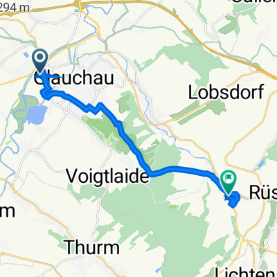
Auestraße 125, Glauchau nach Höhenweg 7A, Sankt Egidien
- 10.8 km
- 187 m
- 137 m
- Glauchau, Saxony, Germany

Customize your own route based on our template or discover how our community prefers to cycle from Glauchau to Saint Egidien.
Route template

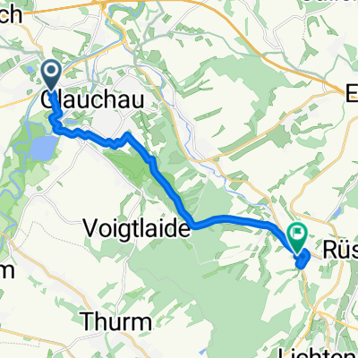
Get ready for a scenic pedal from Glauchau to St. Egidien! This route is just over 10 km, making it perfect for a leisurely ride or a quick fitness loop. Starting in Glauchau, a charming Saxon town known for its Renaissance castles and pretty riverside parks, you’ll roll mostly along quiet roads and country tracks — so traffic shouldn’t be an issue.
There’s a bit of a workout involved, with around 147 meters of ascent, but nothing too daunting. The terrain is a pleasant mix: about 58% paved (mostly smooth asphalt), but you’ll also hit some stretches of gravel and unpaved paths—perfect if you like a little variety under your tires.
Saint Egidien greets you at the end, a small and peaceful Saxon village. It’s the perfect spot to catch your breath, enjoy the rural scenery, and maybe grab a snack before heading back. So pack your water bottle and get ready to explore the rolling countryside between these two hidden gems!
Community
From our community
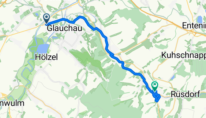
Cycling route in Glauchau, Saxony, Germany
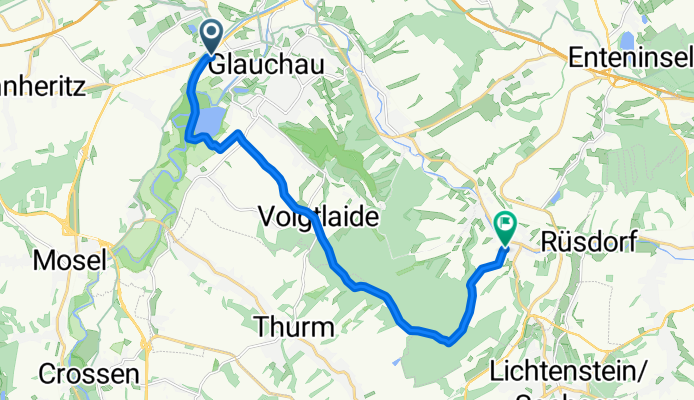
Cycling route in Glauchau, Saxony, Germany
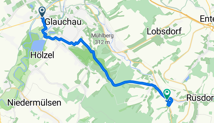
Cycling route in Glauchau, Saxony, Germany
Cycling route in Glauchau, Saxony, Germany
Cycling route in Glauchau, Saxony, Germany
Cycling route in Glauchau, Saxony, Germany
Cycling route in Glauchau, Saxony, Germany
Cycling route in Glauchau, Saxony, Germany
Cycling route in Glauchau, Saxony, Germany
Cycling route in Glauchau, Saxony, Germany
Cycling route in Glauchau, Saxony, Germany
Cycling route in Glauchau, Saxony, Germany
Cycling day trip from
By bicycle from