
By bicycle from Bielefeld to Oerlinghausen
Customize your own route based on our template or discover how our community prefers to cycle from Bielefeld to Oerlinghausen.
Route template
Bielefeld to Oerlinghausen

- 1 h 4 min
- Duration
- 17.4 km
- Distance
- 227 m
- Ascent
- 113 m
- Descent
- 16.4 km/h
- Avg. speed
- 270 m
- Max. altitude
Ready for a little adventure from Bielefeld to Oerlinghausen? This roughly 17.4-kilometer cycling route is a pleasant roll through the Teutoburg Forest region—expect mostly paved surfaces and fun cycling paths (over half the trip is on dedicated cycleways), with stretches of quiet roads that give you plenty of space to pedal and enjoy the view.
You’ll start in Bielefeld, a city with a surprising mix of greenery and urban culture. (Fun fact: the Bielefeld Conspiracy meme originated here—look it up for a laugh!) As you leave the city, you’ll climb gradually (about 227 meters ascent in total), winding your way through leafy suburbs and scenic forest edges before coasting down a bit toward Oerlinghausen.
Oerlinghausen itself is a charming town perched on the edge of the Teutoburg Forest, famous for its glider airfield and open-air museum. The ride features mostly smooth asphalt and some stretches of paving stones—enough variety to keep it interesting but nothing too tricky.
Pack a snack, bring your camera, and get ready to discover some lovely Westphalian countryside!
Community
Top users in this region


From our community
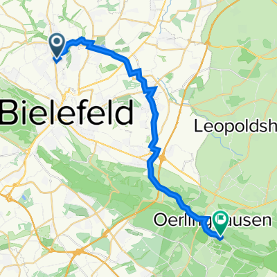
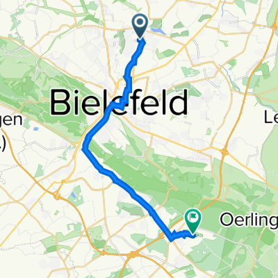
The best bike routes from Bielefeld to Oerlinghausen

Sparrenburg - Eisener Anton
Cycling route in Bielefeld, North Rhine-Westphalia, Germany
- 6.1 km
- Distance
- 198 m
- Ascent
- 53 m
- Descent

Senner Rundweg
Cycling route in Bielefeld, North Rhine-Westphalia, Germany
- 27.5 km
- Distance
- 199 m
- Ascent
- 196 m
- Descent

Sparrenburg-Lämershagen
Cycling route in Bielefeld, North Rhine-Westphalia, Germany
- 8.5 km
- Distance
- 229 m
- Ascent
- 142 m
- Descent

Teutoburger Straße 45, Bielefeld nach Triftweg 24, Oerlinghausen
Cycling route in Bielefeld, North Rhine-Westphalia, Germany
- 12.7 km
- Distance
- 194 m
- Ascent
- 84 m
- Descent

Obernstraße 36, Bielefeld nach Holter Straße 146, Schloß Holte-Stukenbrock
Cycling route in Bielefeld, North Rhine-Westphalia, Germany
- 19.7 km
- Distance
- 89 m
- Ascent
- 83 m
- Descent

Obernstraße 36, Bielefeld nach Holter Straße 146, Schloß Holte-Stukenbrock
Cycling route in Bielefeld, North Rhine-Westphalia, Germany
- 19.7 km
- Distance
- 89 m
- Ascent
- 83 m
- Descent

Im Strohsiek 10, Bielefeld nach Am Lehmstich 1, Oerlinghausen
Cycling route in Bielefeld, North Rhine-Westphalia, Germany
- 22.3 km
- Distance
- 511 m
- Ascent
- 365 m
- Descent

Detmolder Straße 82, Bielefeld nach Sternstraße 4, Bielefeld
Cycling route in Bielefeld, North Rhine-Westphalia, Germany
- 9.9 km
- Distance
- 71 m
- Ascent
- 89 m
- Descent

Am Sparrenberg 38B, Bielefeld naar Hauptstraße 84, Oerlinghausen
Cycling route in Bielefeld, North Rhine-Westphalia, Germany
- 15.3 km
- Distance
- 323 m
- Ascent
- 247 m
- Descent

Opalstraße 13, Bielefeld nach Habichtweg 32a, Schloß Holte-Stukenbrock
Cycling route in Bielefeld, North Rhine-Westphalia, Germany
- 28.2 km
- Distance
- 149 m
- Ascent
- 157 m
- Descent

schildesche oerli
Cycling route in Bielefeld, North Rhine-Westphalia, Germany
- 22.6 km
- Distance
- 201 m
- Ascent
- 57 m
- Descent
Weidebrink 15, Bielefeld nach Travestraße 21A, Bielefeld
Cycling route in Bielefeld, North Rhine-Westphalia, Germany
- 17 km
- Distance
- 115 m
- Ascent
- 81 m
- Descent
Discover more routes
 Obernstraße 36, Bielefeld nach Holter Straße 146, Schloß Holte-Stukenbrock
- Distance
- 19.7 km
- Ascent
- 89 m
- Descent
- 83 m
- Location
- Bielefeld, North Rhine-Westphalia, Germany
 Obernstraße 36, Bielefeld nach Holter Straße 146, Schloß Holte-Stukenbrock
- Distance
- 19.7 km
- Ascent
- 89 m
- Descent
- 83 m
- Location
- Bielefeld, North Rhine-Westphalia, Germany
 Im Strohsiek 10, Bielefeld nach Am Lehmstich 1, Oerlinghausen
- Distance
- 22.3 km
- Ascent
- 511 m
- Descent
- 365 m
- Location
- Bielefeld, North Rhine-Westphalia, Germany
 Detmolder Straße 82, Bielefeld nach Sternstraße 4, Bielefeld
- Distance
- 9.9 km
- Ascent
- 71 m
- Descent
- 89 m
- Location
- Bielefeld, North Rhine-Westphalia, Germany
 Am Sparrenberg 38B, Bielefeld naar Hauptstraße 84, Oerlinghausen
- Distance
- 15.3 km
- Ascent
- 323 m
- Descent
- 247 m
- Location
- Bielefeld, North Rhine-Westphalia, Germany
 Opalstraße 13, Bielefeld nach Habichtweg 32a, Schloß Holte-Stukenbrock
- Distance
- 28.2 km
- Ascent
- 149 m
- Descent
- 157 m
- Location
- Bielefeld, North Rhine-Westphalia, Germany
 schildesche oerli
- Distance
- 22.6 km
- Ascent
- 201 m
- Descent
- 57 m
- Location
- Bielefeld, North Rhine-Westphalia, Germany
 Weidebrink 15, Bielefeld nach Travestraße 21A, Bielefeld
- Distance
- 17 km
- Ascent
- 115 m
- Descent
- 81 m
- Location
- Bielefeld, North Rhine-Westphalia, Germany
Routes from Bielefeld
Cycling day trip from
Bielefeld to Bad Salzuflen
Cycling day trip from
Bielefeld to Detmold
By bicycle from
Bielefeld to Werther
By bicycle from
Bielefeld to Steinhagen