Hitzelerstraße 17, Köln nach Sülzburgstraße 174, Köln
- 4.6 km
- 17 m
- 14 m
- Bayenthal, North Rhine-Westphalia, Germany

Customize your own route based on our template or discover how our community prefers to cycle from Bayenthal to Neustadt/Süd.
Route template

This relaxed cycling route takes you from Bayenthal to Neustadt/Süd, two lively neighborhoods on the south side of Cologne. Starting in Bayenthal, a local favorite for its riverside flair and classic old buildings, you’ll roll northwards mostly on quiet, smooth asphalt roads—no battling busy streets here! It’s a short and sweet ride at just over 2.5 km, with barely any hills, so it’s easy for all skill levels.
As you approach Neustadt/Süd, you’ll notice the vibe shift to something a little more upbeat—this area is known for its eclectic restaurants, artsy cafés, and cool little shops. Whether you’re headed for brunch, the buzzing nightlife, or just some lazy window shopping, you’ll arrive refreshed and ready to explore. Perfect for a casual spin or a scenic commute!
Community
From our community
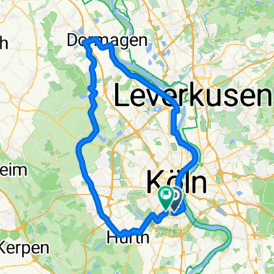
Cycling route in Bayenthal, North Rhine-Westphalia, Germany
Cycling route in Bayenthal, North Rhine-Westphalia, Germany
Cycling route in Bayenthal, North Rhine-Westphalia, Germany
Cycling route in Bayenthal, North Rhine-Westphalia, Germany
Cycling route in Bayenthal, North Rhine-Westphalia, Germany
Cycling route in Bayenthal, North Rhine-Westphalia, Germany
Cycling route in Bayenthal, North Rhine-Westphalia, Germany
Cycling route in Bayenthal, North Rhine-Westphalia, Germany
Cycling route in Bayenthal, North Rhine-Westphalia, Germany
Cycling route in Bayenthal, North Rhine-Westphalia, Germany
Cycling route in Bayenthal, North Rhine-Westphalia, Germany
Cycling route in Bayenthal, North Rhine-Westphalia, Germany
Cycling day trip from
Cycling day trip from
By bicycle from
By bicycle from