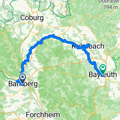


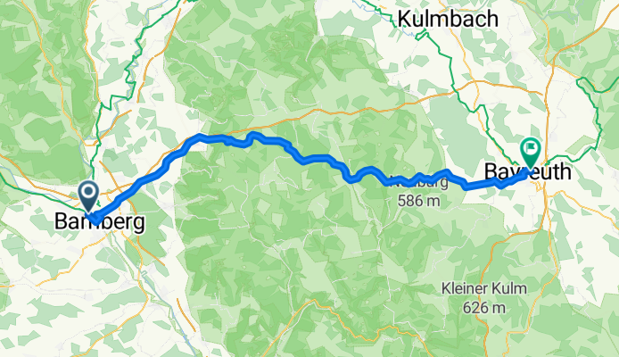

Bamberg - Beyreuth (Option 1)
- 62.9 km
- 715 m
- 618 m
- Bamberg, Bavaria, Germany

Route template

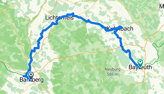
Bamberg to Bayreuth Cycling Route
Kick off your ride in Bamberg, a UNESCO-listed city famous for its medieval old town and riverside charm. The route to Bayreuth covers about 83 km, perfect for a solid day in the saddle with just over 1,000 meters of climbing to keep things interesting.
You'll spend most of your time cruising peaceful country roads (about 40%) with scenic stretches through forests and farmlands. There’s a good mix of smooth asphalt and some gravelly bits, so a sturdy hybrid or gravel bike will serve you well. Roughly 27% is on paths—expect some car-free bliss—while the odd track brings you up close with rural Franconia. Max elevation tops out at 516 meters, so there are a couple of climbs, but nothing too fierce.
End your tour in Bayreuth, known for its famous Wagner Festival and grand baroque architecture. Both towns offer plenty of beer gardens, so you’re never far from a reward at the finish line! All in all, a beautiful and varied ride through northern Bavaria’s finest landscapes.
Community
From our community
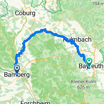
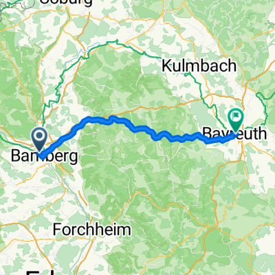
Cycling route in Bamberg, Bavaria, Germany
Cycling route in Bamberg, Bavaria, Germany
Cycling route in Bamberg, Bavaria, Germany
Cycling route in Bamberg, Bavaria, Germany
Cycling route in Bamberg, Bavaria, Germany
Cycling route in Bamberg, Bavaria, Germany
Cycling route in Bamberg, Bavaria, Germany
Cycling route in Bamberg, Bavaria, Germany
Cycling day trip from
Cycling day trip from