
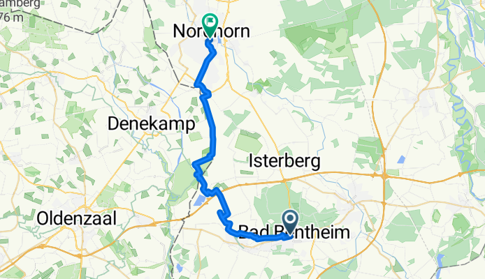
By bicycle from Bad Bentheim to Nordhorn
Customize your own route based on our template or discover how our community prefers to cycle from Bad Bentheim to Nordhorn.
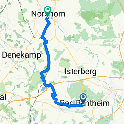
Route template
Bad Bentheim to Nordhorn

- 55 min
- Duration
- 16.2 km
- Distance
- 29 m
- Ascent
- 54 m
- Descent
- 17.7 km/h
- Avg. speed
- 55 m
- Max. altitude
This relaxed cycling route takes you from Bad Bentheim, a charming spa town famous for its impressive hilltop castle, all the way to the lively town of Nordhorn. Covering about 16 km, the ride is mostly on smooth, paved paths—perfect for a comfortable cruise whether you’re on a road bike or a city cruiser.
You’ll start with gentle terrain and only a little climbing before rolling through peaceful countryside. Most of the journey follows quiet cycle paths, so it’s a great escape from traffic. Expect scenic fields and maybe even spot some local wildlife as you head north.
Arriving in Nordhorn, you’ll find a bustling small city, known for its canals and its proximity to the Dutch border. There’s plenty to explore—cafés, shops, and riverside walks. This route is ideal if you want an easy-going ride with a mix of nature and local culture between two iconic Lower Saxony towns.
Community
Top users in this region


From our community
The best bike routes from Bad Bentheim to Nordhorn

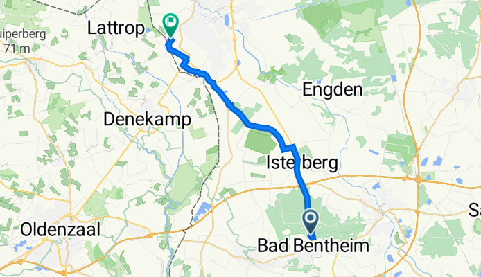
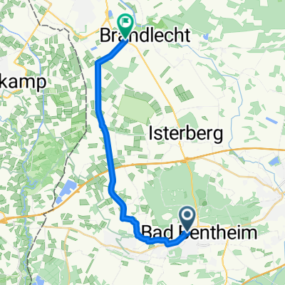
zur Kur nach Bad Bentheim :-)
Cycling route in Bad Bentheim, Lower Saxony, Germany
- 18.6 km
- Distance
- 41 m
- Ascent
- 62 m
- Descent

Rijwielzaak
Cycling route in Bad Bentheim, Lower Saxony, Germany
- 23 km
- Distance
- 10 m
- Ascent
- 48 m
- Descent

Fachklinik - Memeler Straße
Cycling route in Bad Bentheim, Lower Saxony, Germany
- 20.3 km
- Distance
- 24 m
- Ascent
- 54 m
- Descent

Männettout.
Cycling route in Bad Bentheim, Lower Saxony, Germany
- 78.8 km
- Distance
- 160 m
- Ascent
- 204 m
- Descent
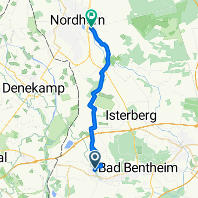
Bentheim bis Nordhorn
Cycling route in Bad Bentheim, Lower Saxony, Germany
- 18.2 km
- Distance
- 55 m
- Ascent
- 87 m
- Descent
Marktstraße, Bad Bentheim nach Rolinkskamp, Nordhorn
Cycling route in Bad Bentheim, Lower Saxony, Germany
- 15.6 km
- Distance
- 8 m
- Ascent
- 42 m
- Descent

Bad Bentheim - Nordhorn
Cycling route in Bad Bentheim, Lower Saxony, Germany
- 22.5 km
- Distance
- 42 m
- Ascent
- 73 m
- Descent
Bad Bentheim Nordhorn
Cycling route in Bad Bentheim, Lower Saxony, Germany
- 26.2 km
- Distance
- 29 m
- Ascent
- 72 m
- Descent

Anfietsen 2010 - lange Tour
Cycling route in Bad Bentheim, Lower Saxony, Germany
- 86.7 km
- Distance
- 122 m
- Ascent
- 172 m
- Descent
Von Bad Bentheim bis Nordhorn
Cycling route in Bad Bentheim, Lower Saxony, Germany
- 18.7 km
- Distance
- 21 m
- Ascent
- 46 m
- Descent

Löwenstraße 45, Bad Bentheim nach Heseper Weg 140, Nordhorn
Cycling route in Bad Bentheim, Lower Saxony, Germany
- 16.1 km
- Distance
- 4 m
- Ascent
- 0 m
- Descent

Dierentuin nordhorn
Cycling route in Bad Bentheim, Lower Saxony, Germany
- 18.8 km
- Distance
- 7 m
- Ascent
- 36 m
- Descent
Discover more routes
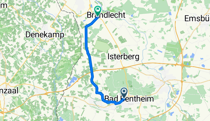
 Bentheim bis Nordhorn
- Distance
- 18.2 km
- Ascent
- 55 m
- Descent
- 87 m
- Location
- Bad Bentheim, Lower Saxony, Germany
 Marktstraße, Bad Bentheim nach Rolinkskamp, Nordhorn
- Distance
- 15.6 km
- Ascent
- 8 m
- Descent
- 42 m
- Location
- Bad Bentheim, Lower Saxony, Germany
 Bad Bentheim - Nordhorn
- Distance
- 22.5 km
- Ascent
- 42 m
- Descent
- 73 m
- Location
- Bad Bentheim, Lower Saxony, Germany
 Bad Bentheim Nordhorn
- Distance
- 26.2 km
- Ascent
- 29 m
- Descent
- 72 m
- Location
- Bad Bentheim, Lower Saxony, Germany
 Anfietsen 2010 - lange Tour
- Distance
- 86.7 km
- Ascent
- 122 m
- Descent
- 172 m
- Location
- Bad Bentheim, Lower Saxony, Germany
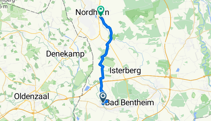
 Von Bad Bentheim bis Nordhorn
- Distance
- 18.7 km
- Ascent
- 21 m
- Descent
- 46 m
- Location
- Bad Bentheim, Lower Saxony, Germany
 Löwenstraße 45, Bad Bentheim nach Heseper Weg 140, Nordhorn
- Distance
- 16.1 km
- Ascent
- 4 m
- Descent
- 0 m
- Location
- Bad Bentheim, Lower Saxony, Germany
 Dierentuin nordhorn
- Distance
- 18.8 km
- Ascent
- 7 m
- Descent
- 36 m
- Location
- Bad Bentheim, Lower Saxony, Germany