Marmotte 2
- 79.6 km
- 2,633 m
- 2,179 m
- Valloire, Auvergne-Rhône-Alpes, France

Route template

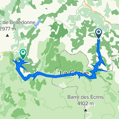
Ready for an epic alpine adventure? This route starts in the charming ski village of Valloire, tucked under the famous Col du Galibier. From there, you'll wind your way through around 83 kilometers of breathtaking mountain terrain, finishing at the legendary cycling mecca of Huez—of Alpe d’Huez fame!
Be warned: this ride packs a serious punch with nearly 4,700 meters of climbing (and almost as much descending). You’ll encounter high-mountain passes, with plenty of time spent above 2,000 meters. The surfaces are mostly paved, but there’s a fun mix—expect to find stretches on quiet alpine roads, some gravel, and the occasional forest path thrown in for good measure.
Both Valloire and Huez are steeped in Tour de France history, so don’t be surprised if you spot a few pros out training. This is a challenging ride suited to experienced cyclists, but the scenery and the satisfaction at the finish will be 100% worth the effort! Don’t forget to pack plenty of snacks…and maybe your climbing legs.
Community
From our community
Cycling route in Valloire, Auvergne-Rhône-Alpes, France
Cycling route in Valloire, Auvergne-Rhône-Alpes, France
Cycling route in Valloire, Auvergne-Rhône-Alpes, France
Cycling route in Valloire, Auvergne-Rhône-Alpes, France
Cycling route in Valloire, Auvergne-Rhône-Alpes, France
Cycling route in Valloire, Auvergne-Rhône-Alpes, France
Cycling route in Valloire, Auvergne-Rhône-Alpes, France
Cycling route in Valloire, Auvergne-Rhône-Alpes, France
Cycling route in Valloire, Auvergne-Rhône-Alpes, France
Cycling route in Valloire, Auvergne-Rhône-Alpes, France
Cycling route in Valloire, Auvergne-Rhône-Alpes, France
Cycling route in Valloire, Auvergne-Rhône-Alpes, France
Cycling day trip from
Cycling day trip from
Cycling day trip from