
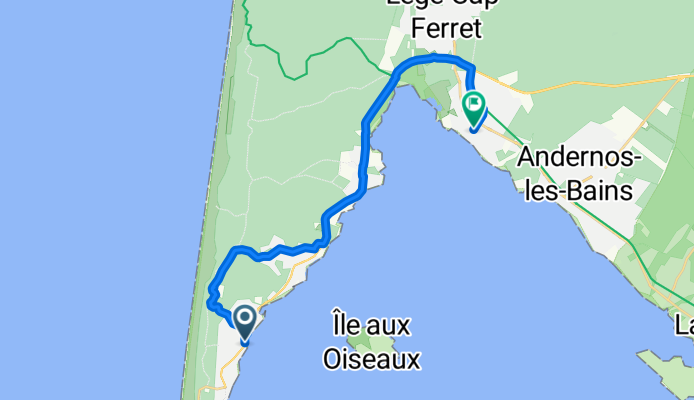
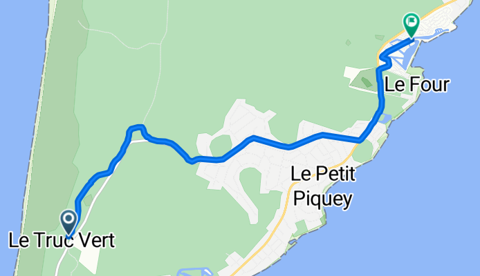
Route template
Arcachon to Arès

- 2 h 24 min
- Duration
- 46.5 km
- Distance
- 117 m
- Ascent
- 150 m
- Descent
- 19.4 km/h
- Avg. speed
- 42 m
- Max. altitude
Set off from Arcachon, the classy seaside town famous for its oyster farms and Belle Époque architecture, and cruise north toward Arès. This ride is a smooth 46.5 km stretch with barely 117 meters of climbing—so it’s more about soaking up the scenery than smashing your legs! You’ll spend most of your time rolling on dedicated cycleways (over 90%), shaded by pines, and occasionally catching glimpses of the shimmering Arcachon Bay.
The route is almost entirely paved, making it perfect for road bikes or a leisurely spin. Expect easy-going pedals, mixed with the fresh pine-scented air the Bay of Arcachon region is known for.
You’ll arrive in Arès, a laid-back village perched on the north edge of the bay. Reward yourself with a cold drink along the waterfront, or if you’re feeling adventurous, stroll out onto the wooden jetty for a killer sunset view. All in all, it’s a perfect day ride to discover the best of the French Atlantic coast on two wheels.
Community
Top users in this region


From our community
The best bike routes from Arcachon to Arès

J 13 - Arcachon Arès
Cycling route in Arcachon, Nouvelle-Aquitaine, France
- 43 km
- Distance
- 61 m
- Ascent
- 81 m
- Descent

pailleron - grand crow
Cycling route in Arcachon, Nouvelle-Aquitaine, France
- 13.2 km
- Distance
- 44 m
- Ascent
- 33 m
- Descent
Rue Ste Catherine, Lège-Cap-Ferret nach Rue du Pilote, Arès
Cycling route in Arcachon, Nouvelle-Aquitaine, France
- 19.4 km
- Distance
- 100 m
- Ascent
- 106 m
- Descent

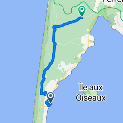
Itinéraire à partir de 2 Avenue du Bernet, Lège-Cap-Ferret
Cycling route in Arcachon, Nouvelle-Aquitaine, France
- 14.4 km
- Distance
- 55 m
- Ascent
- 60 m
- Descent
Avenue Est, Lège-Cap-Ferret à Route des Pastourelles, Lège-Cap-Ferret
Cycling route in Arcachon, Nouvelle-Aquitaine, France
- 20.5 km
- Distance
- 57 m
- Ascent
- 59 m
- Descent

37a. etape | Cap Ferret, Le Petit Piquey, Cap Ferret
Cycling route in Arcachon, Nouvelle-Aquitaine, France
- 9.3 km
- Distance
- 70 m
- Ascent
- 70 m
- Descent

arcachon_ ares
Cycling route in Arcachon, Nouvelle-Aquitaine, France
- 45.7 km
- Distance
- 84 m
- Ascent
- 83 m
- Descent
Promenade du Tour du Phare nach Lège-Cap-Ferret
Cycling route in Arcachon, Nouvelle-Aquitaine, France
- 26 km
- Distance
- 93 m
- Ascent
- 133 m
- Descent
44.690, -1.232 à 44.773, -1.188
Cycling route in Arcachon, Nouvelle-Aquitaine, France
- 15.4 km
- Distance
- 111 m
- Ascent
- 104 m
- Descent
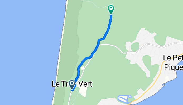
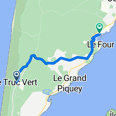
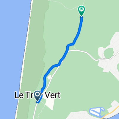
De Avenue du Truc Vert à Avenue Léon Lesca
Cycling route in Arcachon, Nouvelle-Aquitaine, France
- 6.7 km
- Distance
- 39 m
- Ascent
- 65 m
- Descent

Arcachon - Lege
Cycling route in Arcachon, Nouvelle-Aquitaine, France
- 22.5 km
- Distance
- 45 m
- Ascent
- 44 m
- Descent
Recovered Route
Cycling route in Arcachon, Nouvelle-Aquitaine, France
- 2.8 km
- Distance
- 6 m
- Ascent
- 7 m
- Descent
Discover more routes
 Avenue Est, Lège-Cap-Ferret à Route des Pastourelles, Lège-Cap-Ferret
- Distance
- 20.5 km
- Ascent
- 57 m
- Descent
- 59 m
- Location
- Arcachon, Nouvelle-Aquitaine, France
 37a. etape | Cap Ferret, Le Petit Piquey, Cap Ferret
- Distance
- 9.3 km
- Ascent
- 70 m
- Descent
- 70 m
- Location
- Arcachon, Nouvelle-Aquitaine, France
 arcachon_ ares
- Distance
- 45.7 km
- Ascent
- 84 m
- Descent
- 83 m
- Location
- Arcachon, Nouvelle-Aquitaine, France
 Promenade du Tour du Phare nach Lège-Cap-Ferret
- Distance
- 26 km
- Ascent
- 93 m
- Descent
- 133 m
- Location
- Arcachon, Nouvelle-Aquitaine, France
 44.690, -1.232 à 44.773, -1.188
- Distance
- 15.4 km
- Ascent
- 111 m
- Descent
- 104 m
- Location
- Arcachon, Nouvelle-Aquitaine, France
 De Avenue du Truc Vert à Avenue Léon Lesca
- Distance
- 6.7 km
- Ascent
- 39 m
- Descent
- 65 m
- Location
- Arcachon, Nouvelle-Aquitaine, France
 Arcachon - Lege
- Distance
- 22.5 km
- Ascent
- 45 m
- Descent
- 44 m
- Location
- Arcachon, Nouvelle-Aquitaine, France
 Recovered Route
- Distance
- 2.8 km
- Ascent
- 6 m
- Descent
- 7 m
- Location
- Arcachon, Nouvelle-Aquitaine, France
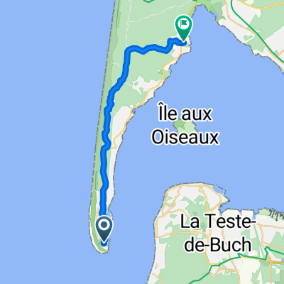
Routes from Arcachon
By bicycle from
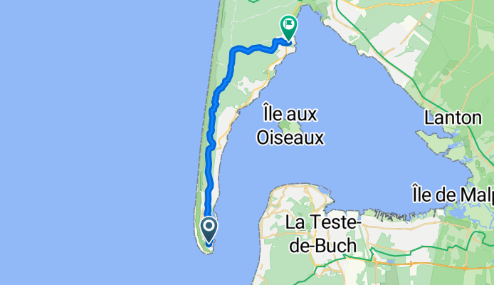
Arcachon to La Teste-de-Buch
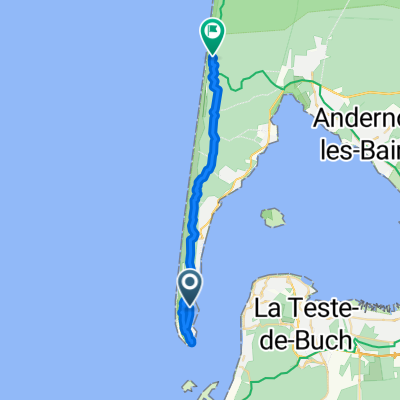
Routes to Arès
By bicycle from
Andernos-les-Bains to Arès