
Cycling day trip from Zalalövő to Szentgotthárd
Customize your own route based on our template or discover how our community prefers to cycle from Zalalövő to Szentgotthárd.
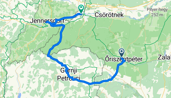
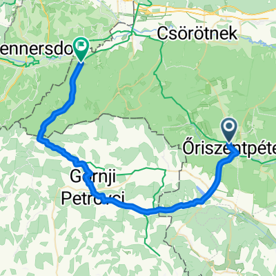
Route template
Zalalövő to Szentgotthárd

- 3 h 9 min
- Duration
- 45.1 km
- Distance
- 478 m
- Ascent
- 444 m
- Descent
- 14.3 km/h
- Avg. speed
- 289 m
- Max. altitude
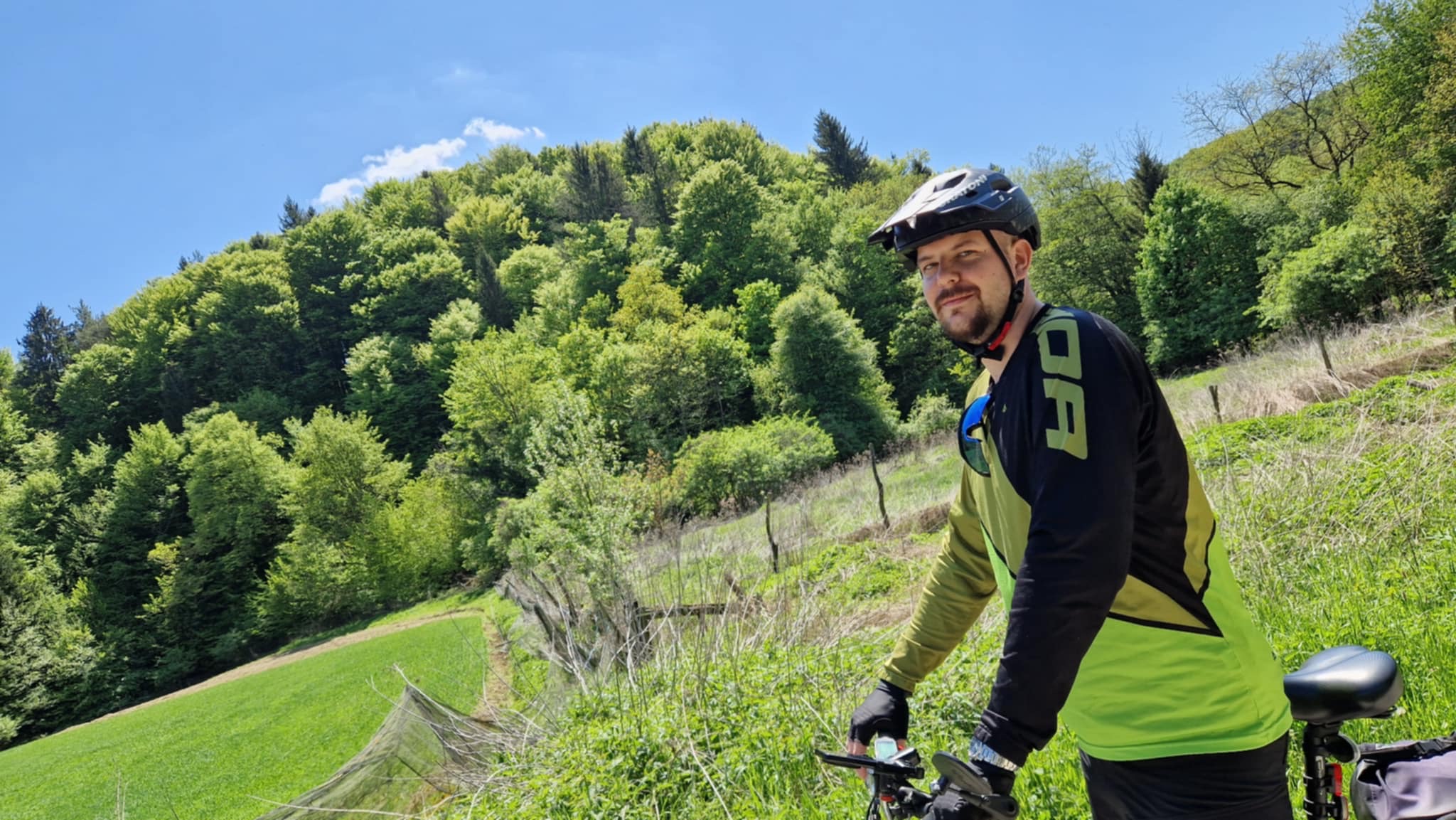
Get ready for a scenic ride from Zalalövő to Szentgotthárd! This 45 km route takes you through the rolling hills and quiet villages of western Hungary, giving you a nice mix of paved stretches, gravel, and some true countryside tracks (with about two-thirds being tracks—so it’s a bit of an adventure!). There’s a total ascent of around 478 meters, but nothing too extreme; just enough climbing to keep things interesting and reward you with some lovely views along the way.
Zalalövő is a peaceful small town known for its Roman history—with an old Roman road nearby and a laid-back vibe. Once you reach Szentgotthárd, you’re at the westernmost edge of Hungary, famous for its baroque abbey and multicultural influences thanks to its position near the Austrian border.
Expect mostly quiet roads and some rustic surfaces, making this a perfect trip if you want to experience authentic Hungarian countryside on two wheels. Don’t forget to bring some snacks and a camera—the scenery is worth it!
Community
Top users in this region


From our community
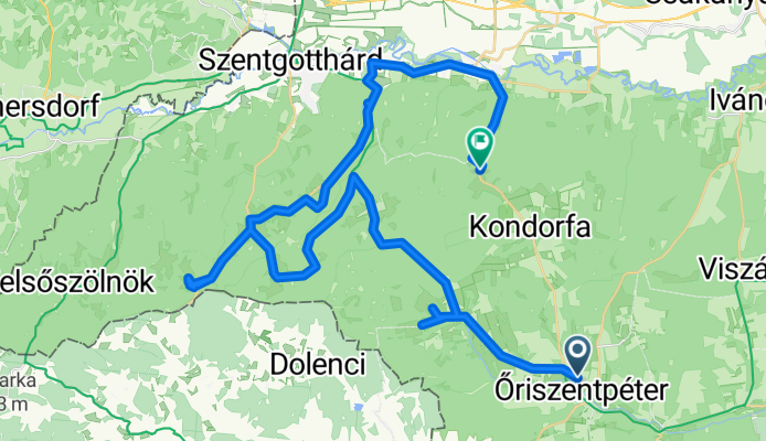
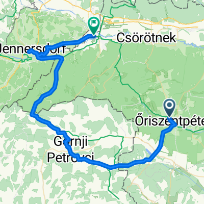
The best bike routes from Zalalövő to Szentgotthárd

Öriszentpéter - Orfalu
Cycling route in Zalalövő, Zala County, Hungary
- 16.4 km
- Distance
- 149 m
- Ascent
- 95 m
- Descent

PaNaNet túra 3. nap
Cycling route in Zalalövő, Zala County, Hungary
- 32.7 km
- Distance
- 295 m
- Ascent
- 312 m
- Descent

Élménytúra kerékpáron és vízen - kerékpár 1. rész
Cycling route in Zalalövő, Zala County, Hungary
- 23.7 km
- Distance
- 241 m
- Ascent
- 256 m
- Descent

ŐKVT 5. nap NEW
Cycling route in Zalalövő, Zala County, Hungary
- 35.4 km
- Distance
- 312 m
- Ascent
- 298 m
- Descent

Őrség-Alpokalja 2. nap
Cycling route in Zalalövő, Zala County, Hungary
- 85 km
- Distance
- 353 m
- Ascent
- 369 m
- Descent
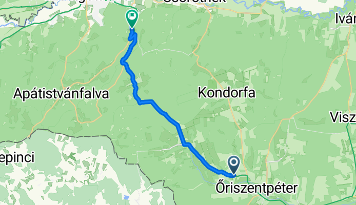
Kovácsszer, Őriszentpéter - 7453-as mellékút, Csörötnek
Cycling route in Zalalövő, Zala County, Hungary
- 52.8 km
- Distance
- 788 m
- Ascent
- 735 m
- Descent

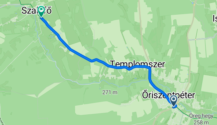
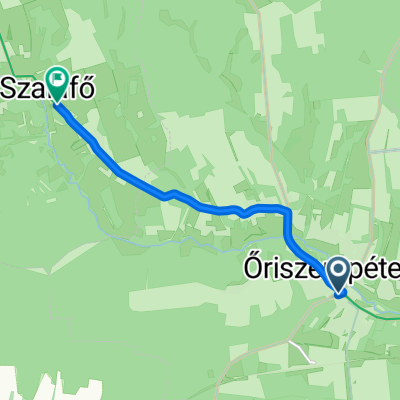
Városszer, Őriszentpéter - 7455-ös mellékút, Szalafő
Cycling route in Zalalövő, Zala County, Hungary
- 6.1 km
- Distance
- 69 m
- Ascent
- 39 m
- Descent
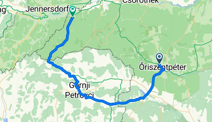
7453-as mellékút, Őriszentpéter - Fő út, Alsószölnök
Cycling route in Zalalövő, Zala County, Hungary
- 42.4 km
- Distance
- 397 m
- Ascent
- 397 m
- Descent
7453-as mellékút, Őriszentpéter - Hunyadi János utca, Szentgotthárd
Cycling route in Zalalövő, Zala County, Hungary
- 60 km
- Distance
- 498 m
- Ascent
- 512 m
- Descent

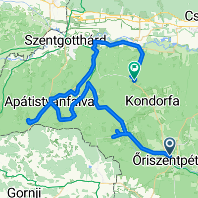
Őriszentpéter - Apátistvánfalva (22 km) v2 CLONED FROM ROUTE 897774
Cycling route in Zalalövő, Zala County, Hungary
- 21.9 km
- Distance
- 295 m
- Ascent
- 198 m
- Descent
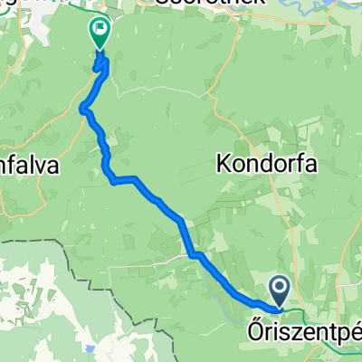
7455-ös mellékút, Őriszentpéter to Szentgotthárd
Cycling route in Zalalövő, Zala County, Hungary
- 14.8 km
- Distance
- 187 m
- Ascent
- 206 m
- Descent
Discover more routes
 Őrség-Alpokalja 2. nap
- Distance
- 85 km
- Ascent
- 353 m
- Descent
- 369 m
- Location
- Zalalövő, Zala County, Hungary
 Kovácsszer, Őriszentpéter - 7453-as mellékút, Csörötnek
- Distance
- 52.8 km
- Ascent
- 788 m
- Descent
- 735 m
- Location
- Zalalövő, Zala County, Hungary
 Őrség első nap
- Distance
- 30.6 km
- Ascent
- 336 m
- Descent
- 322 m
- Location
- Zalalövő, Zala County, Hungary
 Városszer, Őriszentpéter - 7455-ös mellékút, Szalafő
- Distance
- 6.1 km
- Ascent
- 69 m
- Descent
- 39 m
- Location
- Zalalövő, Zala County, Hungary
 7453-as mellékút, Őriszentpéter - Fő út, Alsószölnök
- Distance
- 42.4 km
- Ascent
- 397 m
- Descent
- 397 m
- Location
- Zalalövő, Zala County, Hungary
 7453-as mellékút, Őriszentpéter - Hunyadi János utca, Szentgotthárd
- Distance
- 60 km
- Ascent
- 498 m
- Descent
- 512 m
- Location
- Zalalövő, Zala County, Hungary
 Őriszentpéter - Apátistvánfalva (22 km) v2 CLONED FROM ROUTE 897774
- Distance
- 21.9 km
- Ascent
- 295 m
- Descent
- 198 m
- Location
- Zalalövő, Zala County, Hungary
 7455-ös mellékút, Őriszentpéter to Szentgotthárd
- Distance
- 14.8 km
- Ascent
- 187 m
- Descent
- 206 m
- Location
- Zalalövő, Zala County, Hungary