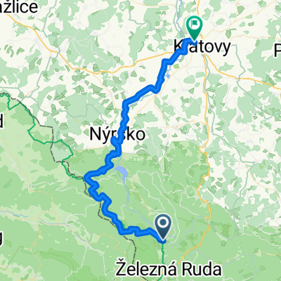


Špičák - Klatovy 2
- 40.7 km
- 365 m
- 946 m
- Železná Ruda, Plzeň Region, Czechia

Customize your own route based on our template or discover how our community prefers to cycle from Železná Ruda to Klatovy.
Route template

This scenic ride takes you from the mountain town of Železná Ruda—a Czech gateway to the Šumava National Park—north to the historic town of Klatovy. Expect a hearty adventure: you’ll cover just over 45 kilometers, with a substantial climb and descent. The journey starts at almost 1,200 meters above sea level, so get ready for some stunning views early on as you cruise through rolling forests and small villages.
The route mixes things up with a blend of surfaces—plenty of paved roads sprinkled with sections of gravel and some unpaved tracks, so a gravel or MTB bike will keep you comfortable. For the most part, you’ll enjoy tranquil tracks and some quiet secondary roads.
Finish your day in Klatovy, known for its medieval Black Tower and gorgeous town square—the perfect place to recharge with some local pastries and a coffee. It’s a ride that’s both a leg workout and a treat for the soul!
Community
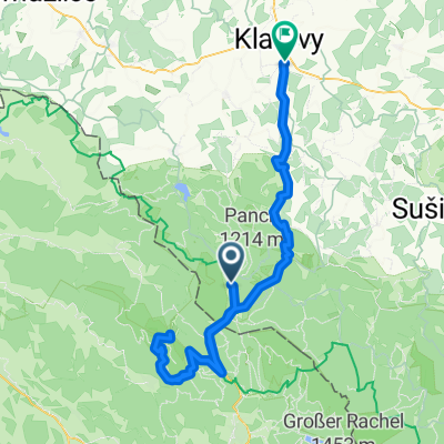
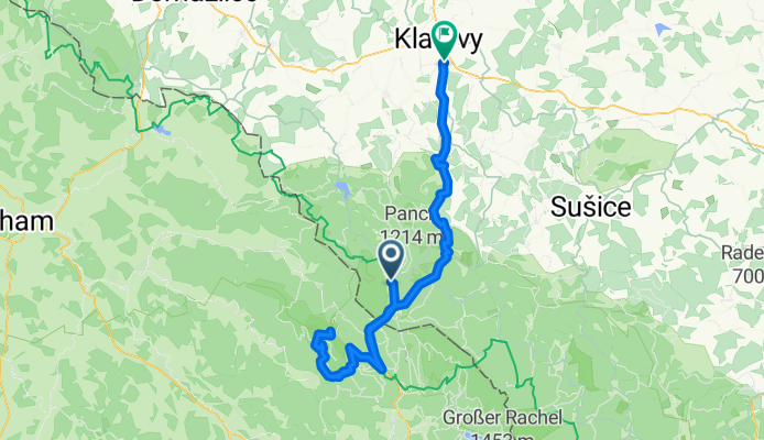
From our community
Cycling route in Železná Ruda, Plzeň Region, Czechia
Cycling route in Železná Ruda, Plzeň Region, Czechia
Cycling route in Železná Ruda, Plzeň Region, Czechia
Cycling route in Železná Ruda, Plzeň Region, Czechia
Cycling route in Železná Ruda, Plzeň Region, Czechia
Cycling route in Železná Ruda, Plzeň Region, Czechia
Cycling route in Železná Ruda, Plzeň Region, Czechia
Cycling route in Železná Ruda, Plzeň Region, Czechia
Cycling route in Železná Ruda, Plzeň Region, Czechia
Cycling route in Železná Ruda, Plzeň Region, Czechia
Cycling route in Železná Ruda, Plzeň Region, Czechia
Cycling route in Železná Ruda, Plzeň Region, Czechia
Cycling day trip from