
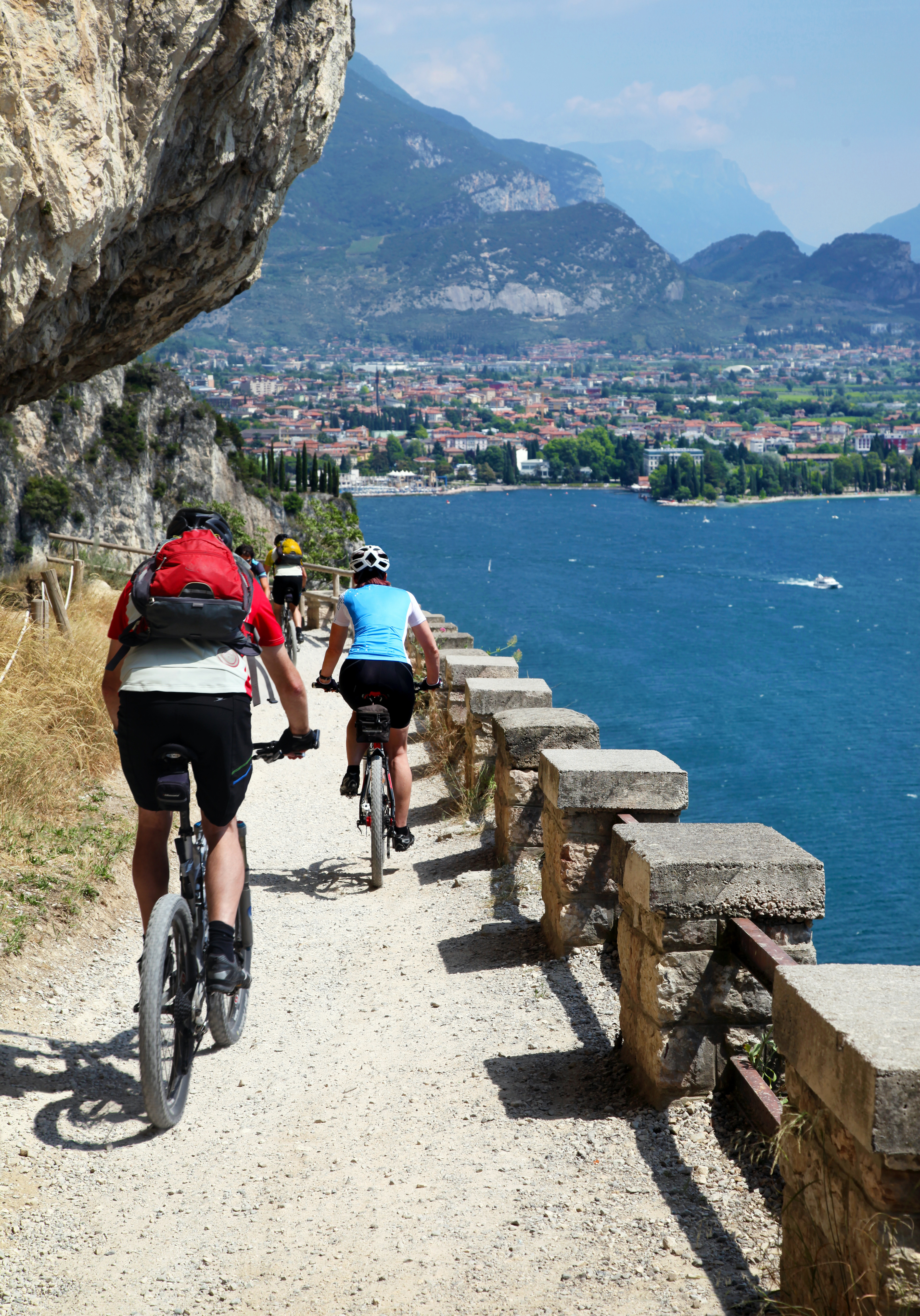
Cycling day trip from Malcesine to Riva del Garda
Customize your own route based on our template or discover how our community prefers to cycle from Malcesine to Riva del Garda.
Route template
Malcesine to Riva del Garda

- 7 h 16 min
- Duration
- 110.1 km
- Distance
- 1,829 m
- Ascent
- 1,841 m
- Descent
- 15.1 km/h
- Avg. speed
- 729 m
- Max. altitude
Start your cycling adventure in the charming town of Malcesine, nestled against the backdrop of Lake Garda. Known for its medieval castle and vibrant cafes, Malcesine offers a picturesque beginning for your journey. From there, pedal along a delightful mix of cycleways and quiet roads, perfect for soaking in the breathtaking views of the surrounding mountains and the lake’s shimmering waters.
As you make your way towards Riva del Garda, you’ll conquer some exciting elevation changes, peaking at 728 meters. But fear not—the route promises a series of enjoyable descents to balance those climbs! Along the 110-kilometer journey, the surface is predominantly smooth asphalt, ensuring a comfortable ride with glimpses of ground trails.
The path is rich with scenic landscapes, and only 2% of it brushes with busy roads, so you can enjoy the serenity and fresh air almost the whole way. After the ride, you'll arrive in Riva del Garda, a vibrant town renowned for its water sports and laid-back atmosphere. It's the perfect spot to relax and unwind with an Italian gelato or a stroll along the waterfront. Happy cycling!
Community
Top users in this region


From our community
The best bike routes from Malcesine to Riva del Garda


Monte Baldo-Brentonico-Castione-Riva del Garda
Cycling route in Malcesine, Veneto, Italy
- 34.1 km
- Distance
- 340 m
- Ascent
- 2,008 m
- Descent

Monte Baldo-Graziani-sent.-San Giacomo-sent.-Brentonico-Castione-Sano-Loppio-Riva
Cycling route in Malcesine, Veneto, Italy
- 37.1 km
- Distance
- 340 m
- Ascent
- 2,020 m
- Descent


Camping Tonini to Riva del Garda
Cycling route in Malcesine, Veneto, Italy
- 16.2 km
- Distance
- 200 m
- Ascent
- 195 m
- Descent

Abfaht vom Altissimo. Gondel ab Malcesine
Cycling route in Malcesine, Veneto, Italy
- 37.3 km
- Distance
- 415 m
- Ascent
- 2,074 m
- Descent


Via Panoramica 113b, Malcesine nach Viale dei Tigli 21, Riva del Garda
Cycling route in Malcesine, Veneto, Italy
- 20.6 km
- Distance
- 206 m
- Ascent
- 489 m
- Descent


Malcesine Mount Baldo Aerial tramway - Mount Baldo terminal nach Piazza III Novembre 2, Riva del Garda
Cycling route in Malcesine, Veneto, Italy
- 93.5 km
- Distance
- 1,443 m
- Ascent
- 3,108 m
- Descent


Monte Baldo-Brentonico-Castione-Riva del Garda
Cycling route in Malcesine, Veneto, Italy
- 41.7 km
- Distance
- 467 m
- Ascent
- 2,138 m
- Descent

Via Navene Vecchia 12, Malcesine to Via Restel de Fer 15B, Riva del Garda
Cycling route in Malcesine, Veneto, Italy
- 18.3 km
- Distance
- 556 m
- Ascent
- 580 m
- Descent

Malcesine Mount Baldo Aerial tramway - Mount Baldo terminal nach Piazza III Novembre 2, Riva del Garda
Cycling route in Malcesine, Veneto, Italy
- 92.6 km
- Distance
- 1,503 m
- Ascent
- 3,167 m
- Descent

Von Monte Baldo nach Riva del Garda 1
Cycling route in Malcesine, Veneto, Italy
- 31.6 km
- Distance
- 636 m
- Ascent
- 2,319 m
- Descent


Via Gardesana 238, Malcesine nach Viale dei Tigli 21, Riva del Garda
Cycling route in Malcesine, Veneto, Italy
- 18.1 km
- Distance
- 180 m
- Ascent
- 193 m
- Descent
Discover more routes
 Via Panoramica 113b, Malcesine nach Viale dei Tigli 21, Riva del Garda
- Distance
- 20.6 km
- Ascent
- 206 m
- Descent
- 489 m
- Location
- Malcesine, Veneto, Italy
 Monte Baldo - Riva
- Distance
- 36.9 km
- Ascent
- 298 m
- Descent
- 1,986 m
- Location
- Malcesine, Veneto, Italy
 Malcesine Mount Baldo Aerial tramway - Mount Baldo terminal nach Piazza III Novembre 2, Riva del Garda
- Distance
- 93.5 km
- Ascent
- 1,443 m
- Descent
- 3,108 m
- Location
- Malcesine, Veneto, Italy
 Monte Baldo-Brentonico-Castione-Riva del Garda
- Distance
- 41.7 km
- Ascent
- 467 m
- Descent
- 2,138 m
- Location
- Malcesine, Veneto, Italy
 Via Navene Vecchia 12, Malcesine to Via Restel de Fer 15B, Riva del Garda
- Distance
- 18.3 km
- Ascent
- 556 m
- Descent
- 580 m
- Location
- Malcesine, Veneto, Italy
 Malcesine Mount Baldo Aerial tramway - Mount Baldo terminal nach Piazza III Novembre 2, Riva del Garda
- Distance
- 92.6 km
- Ascent
- 1,503 m
- Descent
- 3,167 m
- Location
- Malcesine, Veneto, Italy
 Von Monte Baldo nach Riva del Garda 1
- Distance
- 31.6 km
- Ascent
- 636 m
- Descent
- 2,319 m
- Location
- Malcesine, Veneto, Italy
 Via Gardesana 238, Malcesine nach Viale dei Tigli 21, Riva del Garda
- Distance
- 18.1 km
- Ascent
- 180 m
- Descent
- 193 m
- Location
- Malcesine, Veneto, Italy
Routes from Malcesine
Cycling day trip from
Malcesine to Torbole sul Garda
Quick ride by bicycle from
Malcesine to Limone sul Garda
Routes to Riva del Garda
Cycling day trip from
Dimaro to Riva del Garda
Cycling day trip from
Molina di Ledro to Riva del Garda
Quick ride by bicycle from
Limone sul Garda to Riva del Garda
Quick ride by bicycle from
Torbole sul Garda to Riva del Garda